Where is Franklin County, Indiana?
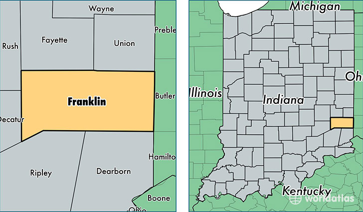
Franklin County is a county equivalent area found in Indiana, USA. The county government of Franklin is found in the county seat of Brookville.
With a total 1,012.81 sq. km of land and water area, Franklin County, Indiana is the 2634th largest county equivalent area in the United States. Home to 22,934 people, Franklin County has a total 9508 households earning 49516 on average per year.
Franklin County, Indiana - Quick Facts
| FIPS Code | 18047 |
| Area Codes | 317,812,765 |
| Time Zone | EST |
| Major Cities | Batesville (population: 11,643), Brookville (population: 10,136), Laurel (population: 3,209), Metamora (population: 1,627), West College Corner (population: 1,018), Oldenburg (population: 1,017), Cedar Grove (population: 788), Bath (population: 303), New Trenton (population: 231) |
| Land Area | 8,855 sq miles |
| Water Area | 385 sq miles |
| Household Income | $49,516 |
| Housing Units | 9,508 |
| Median Home Value | $150,100 |
| High School Grads | 85% of population |
| Holders of Bachelors Degrees | 18% of population |
| Retail Spending | $7,407 per capita |
| Food & Accomodation Sales | $28,470 per capita |
This page was last updated on June 30, 2016.