Where is Crawford County, Iowa?
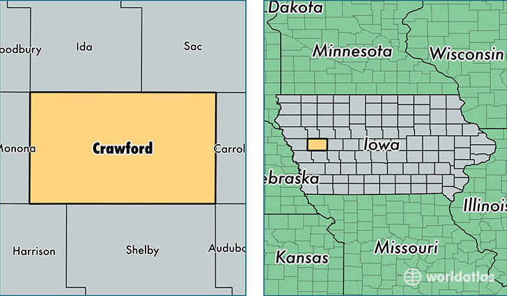
Crawford County is a county equivalent area found in Iowa, USA. The county government of Crawford is found in the county seat of Denison.
With a total 1,851.94 sq. km of land and water area, Crawford County, Iowa is the 1400th largest county equivalent area in the United States. Home to 17,228 people, Crawford County has a total 6943 households earning 46548 on average per year.
Crawford County, Iowa - Quick Facts
| FIPS Code | 19047 |
| Area Codes | 712 |
| Time Zone | CST |
| Major Cities | Denison (population: 9,960), Manilla (population: 1,357), Schleswig (population: 1,179), Charter Oak (population: 1,060), Dow City (population: 942), Vail (population: 742), Westside (population: 620), Kiron (population: 616), Deloit (population: 357), Arion (population: 235) |
| Land Area | 6,652 sq miles |
| Water Area | 714 sq miles |
| Household Income | $46,548 |
| Housing Units | 6,943 |
| Median Home Value | $83,100 |
| High School Grads | 79% of population |
| Holders of Bachelors Degrees | 15% of population |
| Retail Spending | $9,840 per capita |
| Food & Accomodation Sales | $12,931 per capita |
This page was last updated on June 30, 2016.