Where is Monona County, Iowa?
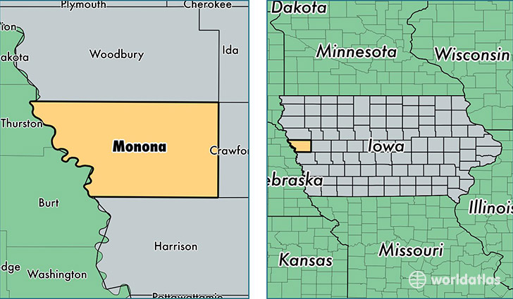
Monona County is a county equivalent area found in Iowa, USA. The county government of Monona is found in the county seat of Onawa.
With a total 1,810.23 sq. km of land and water area, Monona County, Iowa is the 1444th largest county equivalent area in the United States. Home to 8,996 people, Monona County has a total 4703 households earning 42025 on average per year.
Monona County, Iowa - Quick Facts
| FIPS Code | 19133 |
| Area Codes | 712 |
| Time Zone | CST |
| Major Cities | Onawa (population: 3,664), Mapleton (population: 1,798), Whiting (population: 1,085), Ute (population: 608), Moorhead (population: 551), Castana (population: 450), Soldier (population: 392), Blencoe (population: 352), Rodney (population: 88) |
| Land Area | 3,473 sq miles |
| Water Area | 694 sq miles |
| Household Income | $42,025 |
| Housing Units | 4,703 |
| Median Home Value | $77,800 |
| High School Grads | 90% of population |
| Holders of Bachelors Degrees | 14% of population |
| Retail Spending | $10,868 per capita |
| Food & Accomodation Sales | $7,234 per capita |
This page was last updated on June 30, 2016.