Maps of Sierra Leone
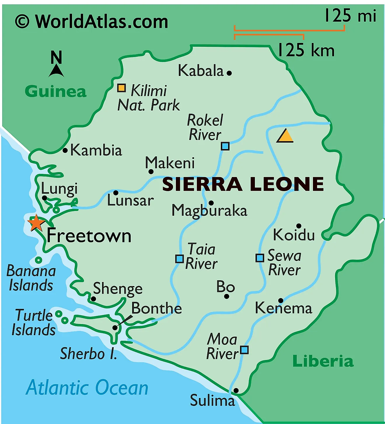
Located in West Africa, Sierra Leone occupies an area of 71,740 sq. km. As observed on the physical map above, it has a significant coastline on the Atlantic Ocean. Sierra Leone shares a border with Liberia to the south and Guinea to the North and East. The nation is largely made up of lightly wooded hills with a concentration of mangrove swamps along the coast.
A coastal swamp region runs parallel to the Atlantic coast for around 320 km and comprises a flat, frequently flooded plain with a width ranging from 8 to 40 km. It is indented with many estuaries and creeks. Sierra Leone is drained by several rivers crisscrossing the country. Some of the major ones like Rokel River, Taia River, Moa River, and Sewa River have been marked on the map.
The Sierra Leone Peninsula which is covered by wooded mountains with elevation reaching up to 860 m, and running parallel to the coastal swamps for around 40 km. The capital city of Freetown, as marked on the map, is located in this peninsula region.
Mount Bintumani the highest point of the nation, measuring at 1,948 m can be found further inland within the Loma Mountain Range. This mountainous region covers nearly the entire eastern half of Sierra Leone. The country also has several islands on the Atlantic Ocean. Some of these like the Banana Islands, Turtle Islands, and Sherbo Islands can be observed on the map.
Provinces of Sierra Leone Map
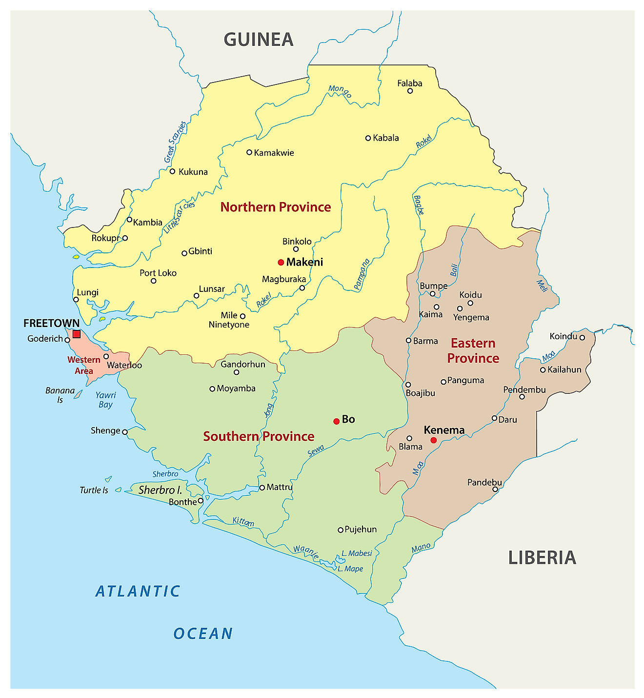
Sierra Leone is divided into four provinces and one area. The provinces are Eastern, Northern, North Western, and Southern. The area is called Western Area or Freetown Peninsula.
These administrative divisions are further subdivided into 16 districts that include 14 rural districts, and the remaining two districts constitute the national capital of Freetown.
The districts are divided into 186 chiefdoms. These are local government units headed by tribal, hereditary chiefs.
Where is Sierra Leone?
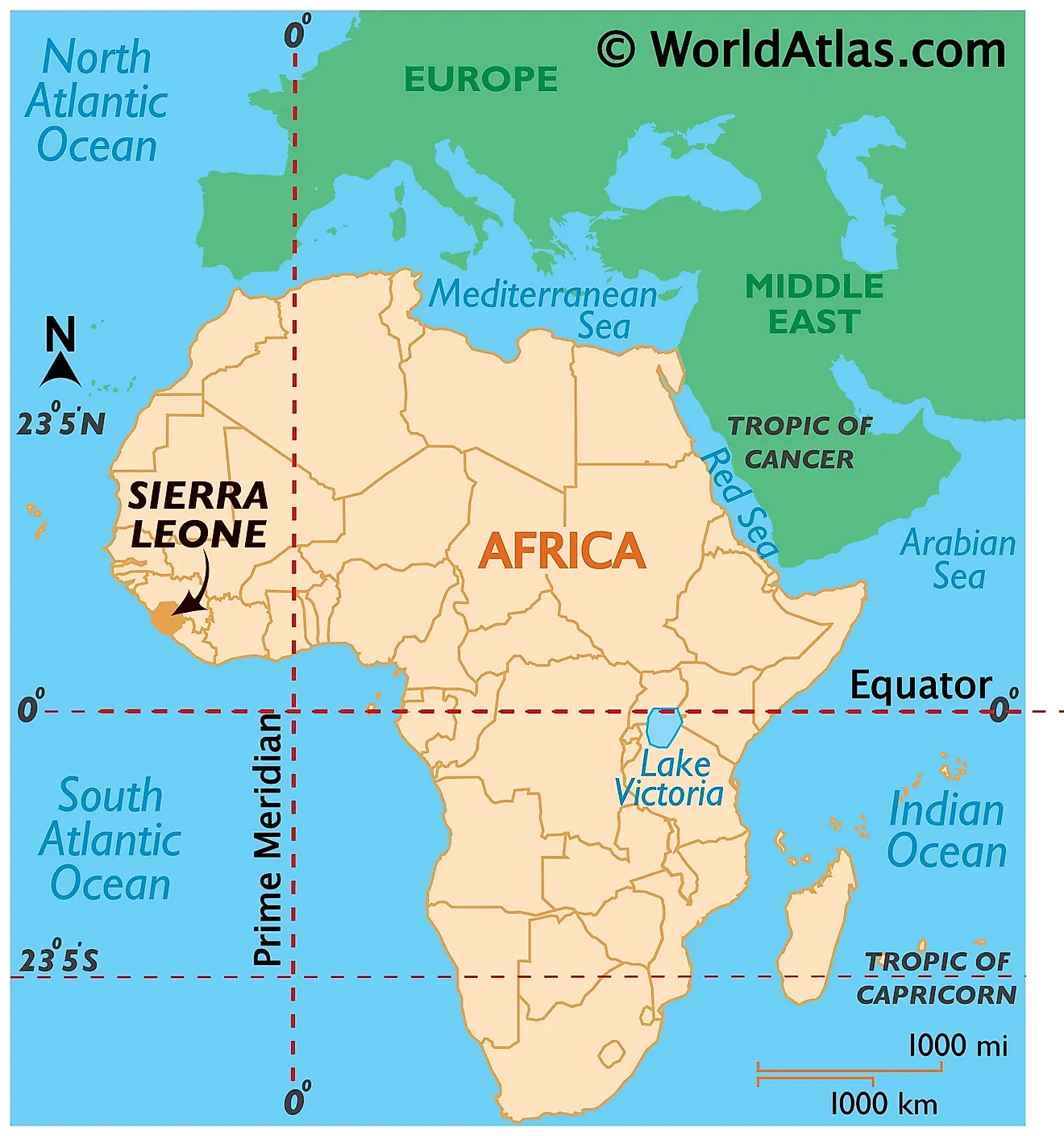
Sierra Leone is a West African country. It lies in the Northern and Western Hemispheres of the Earth. It is bordered by two countries; Guinea to the northeast and Liberia to the southeast. The South Atlantic Ocean borders it to the southwest.
Sierra Leone Bordering Countries: Guinea, Liberia.
Regional Maps: Map of Africa
Outline Map of Sierra Leone
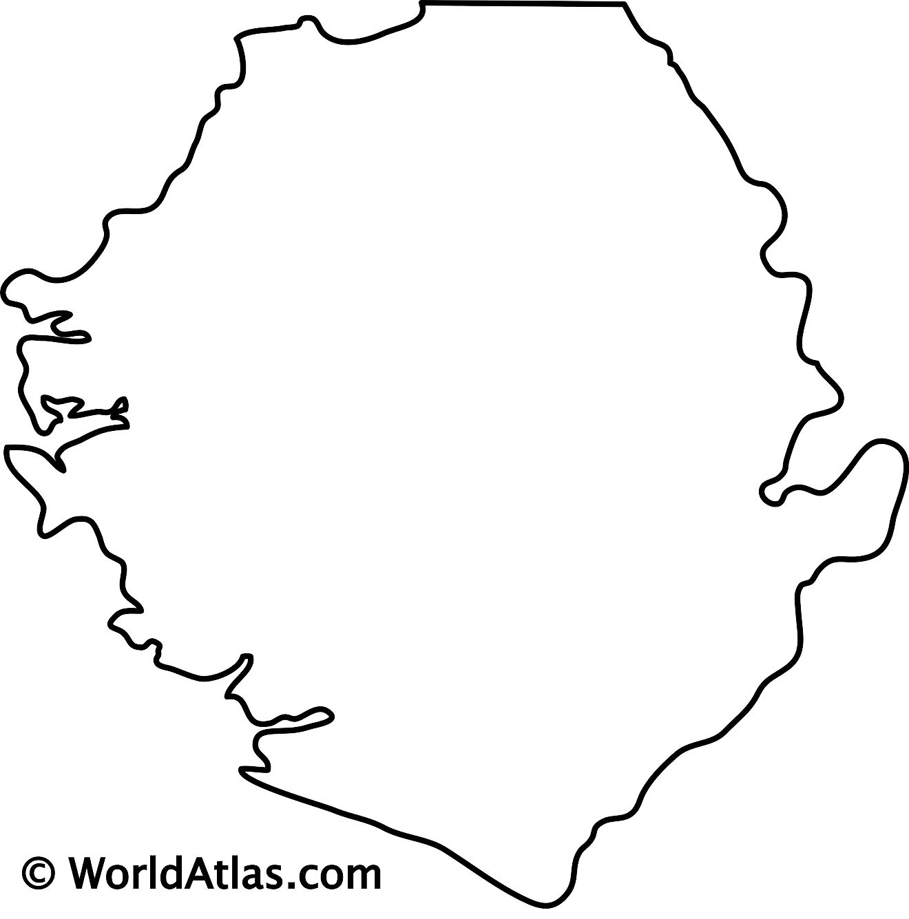
The blank outline map respresents mainland Sierra Leone. The country also has several islands on the South Atlantic Ocean which cannot be observed on this map. The above map can be downloaded for free, and used for educational purposes like map-pointing activities.
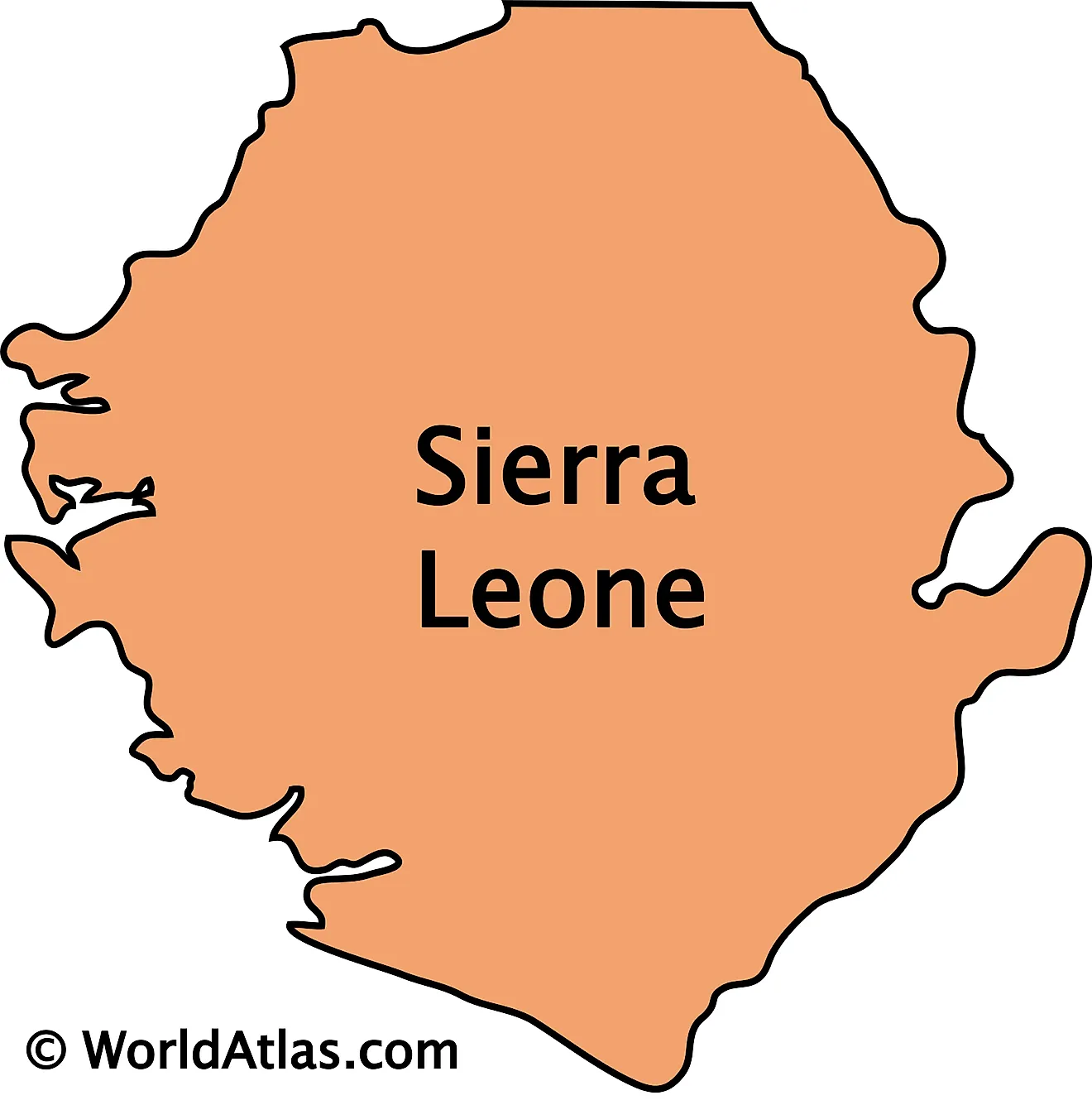
The outline map represents mainland Sierra Leone. The country owns several oceanic islands as well.
Key Facts
| Legal Name | Republic of Sierra Leone |
|---|---|
| Flag |
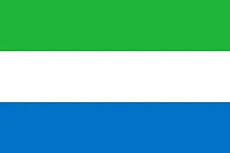
|
| Capital City | Freetown |
| 8 29 N, 13 14 W | |
| Total Area | 71,740.00 km2 |
| Land Area | 71,620.00 km2 |
| Water Area | 120.00 km2 |
| Population | 7,813,215 |
| Largest City |
Freetown (1,309,168) |
| Currency | Leones (SLL) |
| GDP | $3.94 Billion |
| GDP Per Capita | $504.46 |
This page was last updated on December 16, 2023
