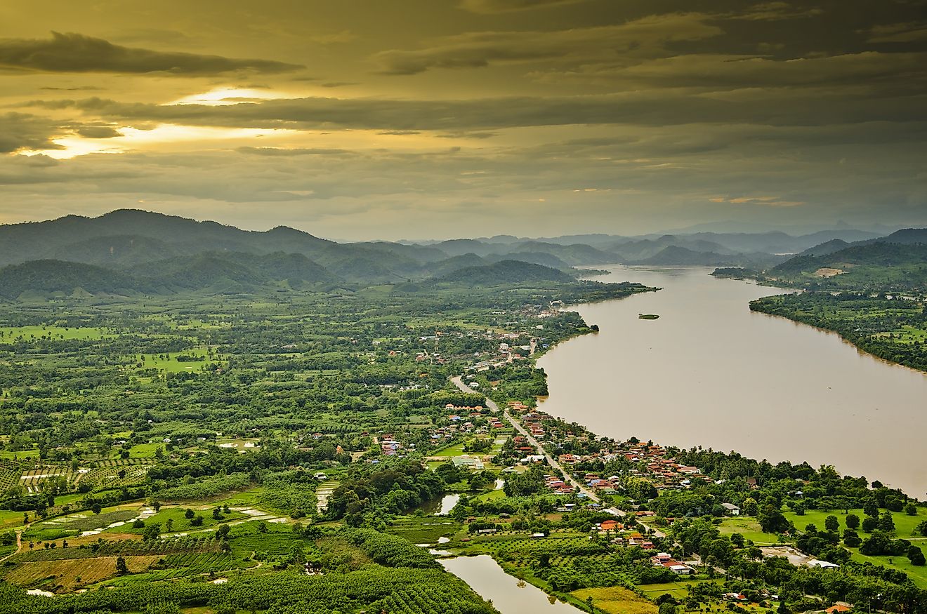
Lake Tonlé Sap
Tonle Sap is the largest freshwater lake in Southeast Asia and is one of the world’s most productive inland fisheries. The Tone Sap Lake, located in the Cambodian floodplain, is seasonally inundated by numerous tributaries, prominently by the Srêng and Sên rivers being the perennial northern tributaries. The lake is also attached to the 120km long Tonle Sap River which connects the lake to the Mekong River. The Mekong River annually replenishes and sediments this complex hydrological system, which in return supports a mosaic of natural and agricultural habitats on the Cambodian floodplain.

The central plain is particularly a result of millions of years of Mekong alluvial deposition, erosion and sedimentation. Since the lake is one of the world’s most varied and productive ecosystems, it is vital to Cambodia’s food supply and indirectly affects the livelihood of large numbers of a predominantly rural population, such as the Angkorian or Khmer civilization, now known as Cambodia. Moreover, the lake acts a natural flood water reservoir for the Mekong system and is a vital source of irrigation for rice fields during the dry season.
Geography

The Tonle Sap Lake occupies a depressed landform in the Cambodian floodplain, a geological depression of the vast alluvial floodplain in the Lower Mekong basin, which has been formed by the collision of the Indian and Eurasian plate. The Cambodian floodplain includes most of lowland Cambodia, Mekong delta of Vietnam, a small part of Southern Laos, a small part of eastern Thailand and is traversed by the Mekong River.
The Lower Mekong basin includes the lower half of the Mekong river’s length of 2,600 km and the surrounding drainage basin of around 607,000 sq.km. The lower basin is functionally subdivided into four geographic regions: Northern highlands, Khorat Plateau, Tonle Sap Basin and the Great Lake or the Tonle Sap Lake. The Mekong River flows through a broad valley to the east of the Khorat Plateau and enters the Tonle Sap Basin north of Pakse, Laos. The Tonle Sap basin is a large alluvial plain surrounded by hills, traversed by mainstreams that break up at the southern end into a complex network of channels, one of which is the Tonle Sap River. The western and central part of the Basin comprise the Great Lake.
A continuously shifting basin

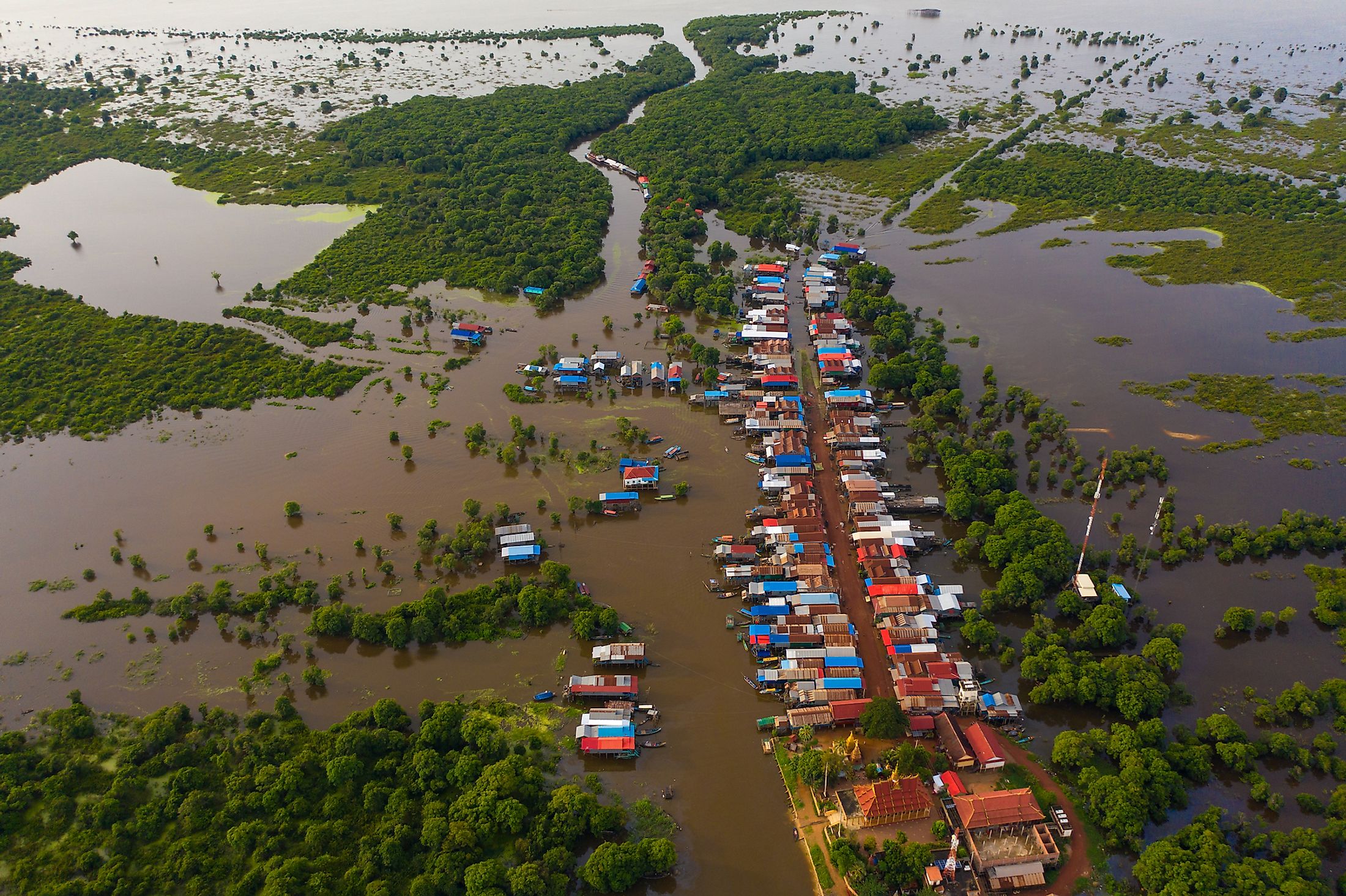
The water volume of the Mekon River annually fluctuates and is supported by the Asian monsoon regime from June to November. This annual fluctuation plays an important role in the flooding and drainage of the Tonle Sap. Flooding or drainage is a function of the unique flow reversal of the Tonle Sap River during the wet season. In this season, inflow from the Mekong, amplified by the monsoon, starts in May or June and reaches a maximum by late August, whereby a swollen Mekong reverses the southeastward flow of the Tonle Sap River, which floods the lake and increases the Tonle Sap’s area from 2,500 sq.km to approximately 16,000 sq.km. In addition to that, the lake’s volume and length increases annually during this season from 1 cubic kilometers to 80 cubic kilometers and from 160 km to 250 km respectively. The lake reaches it maximum size in November and the monsoon ceases at that month, decreasing the Mekong flow to its minimum. During the dry season, the Great Lake drains into the Mekong River via the Tonle Sap River, which has reverted to the downstream direction and allowed the drainage from the lake and inundated the floodplain. As a result, the 120 km long Tonlé Sap River flows six months a year from the southeast (Mekong) to northwest (lake) and the rest six months in the opposite direction.
This hydrological cycle supports the lake’s rich biodiversity, including fish, wildlife and plants. Many local communities rely on the lake’s rich biodiversity for their livelihoods whereby 40% of the population in Cambodia depend on the Great Lake and its floodplains for their income and food supply. When the Tonle Sap floods, the surrounding areas become major breeding ground for fish, particularly carp. Fishing during this time is illegal to prevent disruption of mating. When the water levels go down at the end of the wet season, floating houses are installed and fishing is allowed again. Moreover, historical research has shown that the old Angkorian civilization took advantage of the weather conditions to support their rice crop fields. Farmers created their own irrigation system where they would dig huge reservoirs during the wet season, accumulating water that would be released during the dry season. This doubled and sometimes even tripled the number of rice crops per year, providing the nation with enough harvest for a year.
Biodiversity

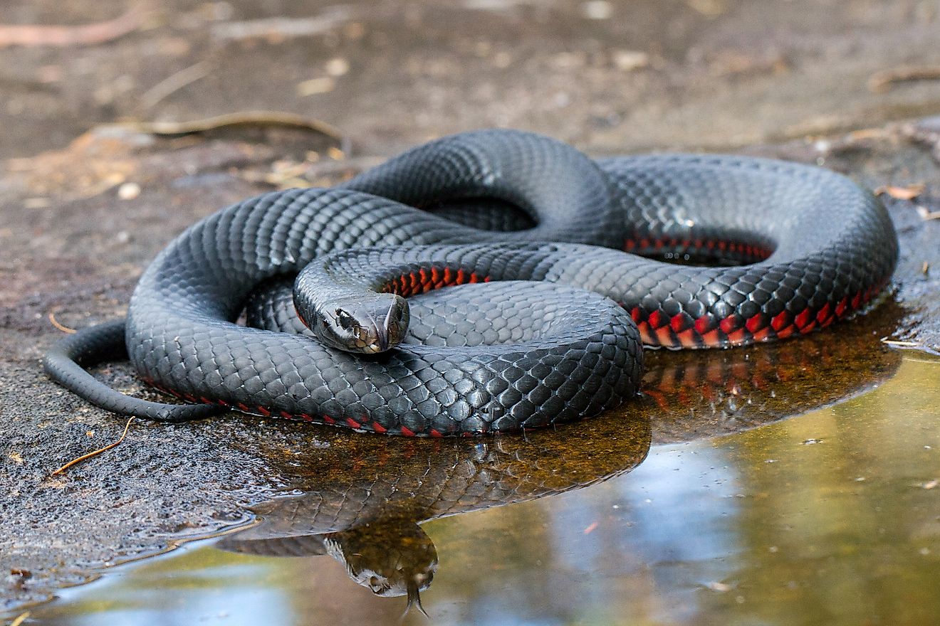
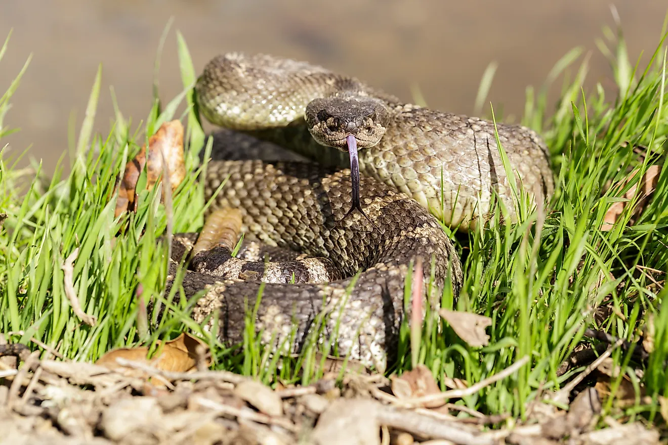
Tonle Sap Lake is considered as a biodiversity hotspot due to the large variety of interconnected eco-regions having a high degree of biodiversity. In fact, the lake was designated a UNESCO biosphere reserve in 1997. It is home to at least 149 species of fish, eleven of which are globally threatened and six of which are near-threatened species. Some of the notable avian species that are found here include the spot-billed pelican, Manchurian reed warbler, Bengal florican, grey-headed fish eagle, greater adjutant, and the Oriental darter. The Tonle Sap also houses a significant reptile population which includes many freshwater snakes and the nearly extinct Siamese crocodiles. The lake is also home to one of the largest freshwater fish in the world - the Mekong giant catfish. What’s particular about this specie is that it is vulnerable to chemical changes in the ecosystem, making it a good and early indicator of potential changes in the river ecosystem.
Exploitation and threats

The lake and surrounding ecosystems face several threats such deforestation, infrastructure development and climate change. All Mekong riparian states - China, Laos, Myanmar, Thailand, Cambodia, and Vietnam—have constructed series of dams to exploit the river’s hydroelectric potential. These dams are thought to be a serious threat to the Tonlé Sap eco-region since they reduce the flow into the lake and reduce connectivity. Climate change has also reduced the annual river flow into the lake after a series of droughts in Cambodia during 2010. This had directly impacted the fisheries and food security of the population.