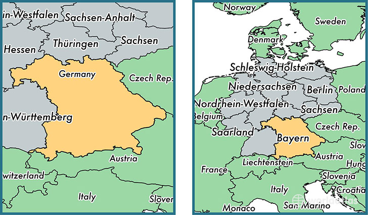
State of Bavaria, Germany
Bavaria is a state found in the nation of Germany. Home to 12,397,614 people, it is the 2nd largest division in Germany in terms of population.
Bavaria gained its current status as a state in the year 1949. The government of Bavaria is lead by Horst Seehofer and is based in the state capital of Munich (Population: 1,260,391).
The most populous cities in Bavaria are: Munich (Population: 1,260,391), Nuernberg (Population: 499,237), Augsburg (Population: 259,196), Wuerzburg (Population: 133,731), Regensburg (Population: 129,151).
Bavaria State - Quick Facts
| Country | Germany |
| Region Type | State |
| ISO Code | DE_BY |
| Time Zone | CEST |
| Year of Establishment | 1949 |
| Capital | Munich (Population: 1,260,391) |
| Head of Government | Horst Seehofer |
| Total Population | 12,397,614 |
| Total Area | 70,549 sq km (27,239 sq miles) |
| Population Density | 175.7 sq km (455.1 sq miles) |
This page was last updated on July 24, 2015.