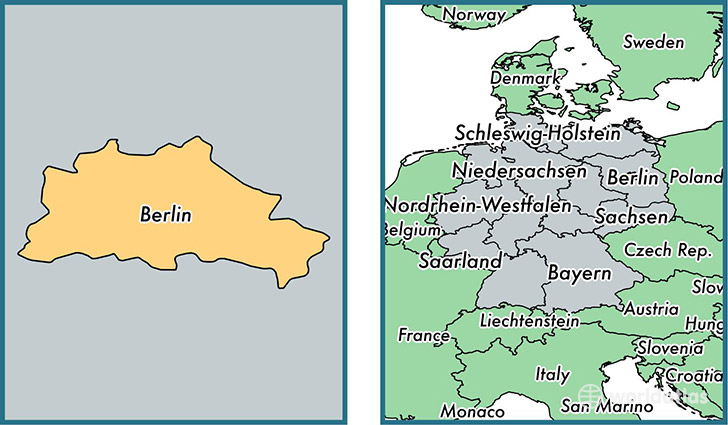
State of Berlin, Germany
Berlin is a state found in the nation of Germany. Home to 3,292,365 people, it is the 8th largest division in Germany in terms of population.
Berlin gained its current status as a state in the year 1990. The government of Berlin is lead by Michael Muller and is based in the state capital of Berlin (Population: 3,426,354).
The most populous cities in Berlin are: Berlin (Population: 3,426,354), Prenzlauer Berg Bezirk (Population: 148,878), Bezirk Kreuzberg (Population: 147,532), Charlottenburg Bezirk (Population: 119,857), Friedrichshain Bezirk (Population: 117,829).
Berlin State - Quick Facts
| Country | Germany |
| Region Type | State |
| ISO Code | DE_BE |
| Time Zone | CEST |
| Year of Establishment | 1990 |
| Capital | Berlin (Population: 3,426,354) |
| Head of Government | Michael Muller |
| Total Population | 3,292,365 |
| Total Area | 892 sq km (344 sq miles) |
| Population Density | 3,691.0 sq km (9,559.6 sq miles) |
This page was last updated on July 24, 2015.