Port Franks, Canada
Port Franks is a small community in the Southwest tail of Ontario, Canada. It is part of the municipality of Lambton Shores, which parallels Lake Huron and is known for its sandy beaches. The collective population of Lambton Shores is about 11,252, but the number of permanent residents in Port Franks is closer to around 700. This quiet settlement and its little slice of nature are a lovely alternative to the more popular summer destination spots nearby.
Geography Of Port Franks

Port Franks is located off of Lakeshore Road (Highway 21) and nestled between the Ausable River and Lake Huron - one of the 5 Great Lakes. It is also adjacent to the Pinery Provincial Park (to the East), a popular campground and outdoor recreation site, and Ipperwash Beach (to the West), one of Ontario's longest beaches. Port Franks showcases a unique natural setting of its own. Colossal sand dunes can be seen from the highway and rise, seemingly out of nowhere. The community is about 35 miles Northeast of Sarnia, 10 miles Southwest of Grand Bend, and 45 miles Northwest of London.
Port Franks is also located next to the Kettle (Wiiwkwedong) and Stony Point (Aazhoodena) First Nation Reservation. This area is home to the Chippewas of Kettle and Stony Point, who are part of the Anishinabek Nation whose traditional territory, along with that of the Haudenosaunee (Iroquois), and Ojibway/Chippewa Nations, encompassed modern-day Port Franks and much of the surrounding area.
Climate Of Port Franks
The climate for Port Franks is similar to that of nearby Sarnia (i.e., humid, continental climate). The average annual temperature is 48 degrees Fahrenheit, ranging between a low of 18 degrees in January and February and a high of 80 degrees in July. The average annual rainfall is much higher compared to Sarnia. Port Franks, on average, experiences 120.4 rainy days per year, which amounts to 31.6 inches. Also, because of its position on the shores of Lake Huron, Port Franks receives large amounts of lake-effect snow.
History of Port Franks

Before European settlement, this region was used by the Attawandaron (or Neutral) Nation. Evidence of flint chipping workshops was uncovered in 1948. The flint-rich area was used to provide weapons for neighboring tribes.
The first modern settlement in the region came with the construction of Brewster's Mill in the 1830s. A dam on the Ausable River powered the sawmill. It is believed that this project caused significant flooding in the area. After contentious court battles, the residents took matters into their own hands, burning down the mill and destroying the dam. Nonetheless, flooding continued. Over the years, many interventions and manipulations of the landscape (dams, culverts, a river channel, etc.) have sought to alleviate the forces of flooding and erosion that shape the area between Port Franks and Grand Bend.
In 1887, Port Franks was recognized as a village within Lambton County. More recently, in 2001, the municipality of Lambton Shores was created by merging Forest, Ontario, with many of the nearby villages, including Port Franks.
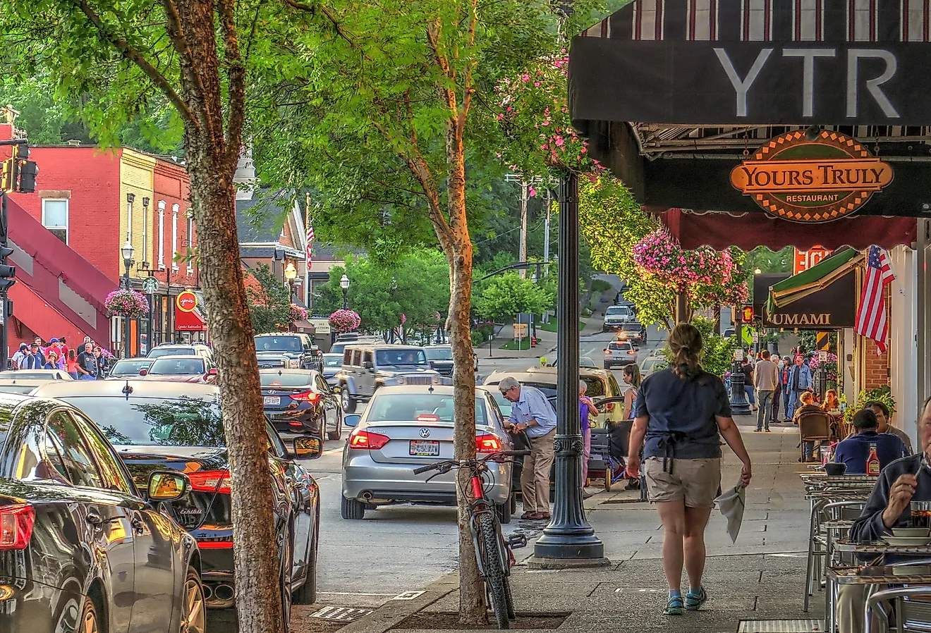
Visiting Port Franks

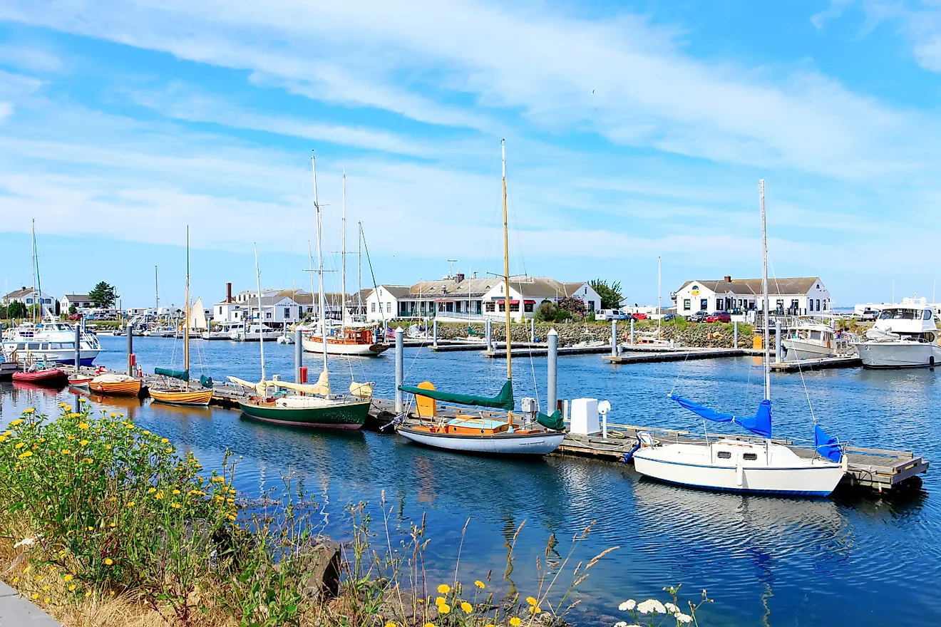
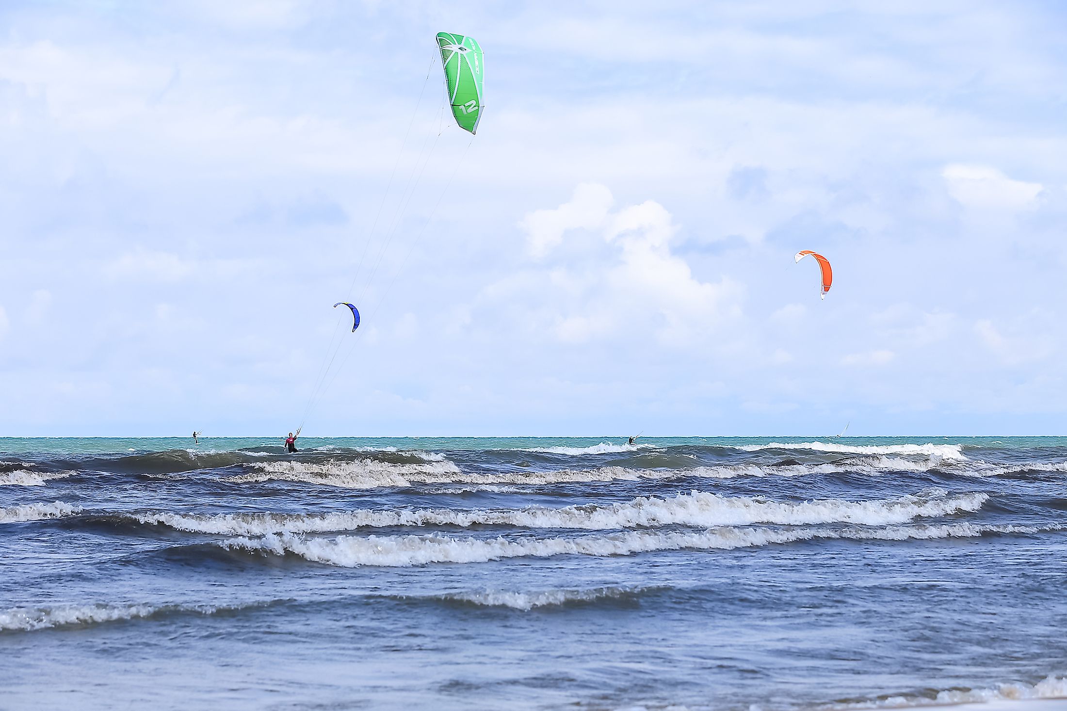
Lambton Shores sees an increase in traffic during the summer months. Visitors flock to the sandy beaches and refreshing waters of Lake Huron. Though Port Franks experiences less of this influx, the Pork Franks Marina is great to launch a boat. It is one of 12 "Blue Flag" recognized marinas in Canada. This designation is given to keep the waters exceptionally clean and accessible.
Port Franks has some excellent hiking trails that are not well known and, therefore, underused. It is not uncommon to have the whole forest network of soft dirt/sand trails to oneself. And of course, there are the magnificent sand dunes that are protected by the Forested Dunes Nature Reserve and the Ausable River Cut Conservation Area. There are several nearby campgrounds and some cozy restaurants to be found.
Port Franks is a blend of country and lakeside vibes. It is a low-key place that provides a quiet respite from the denser Greater Toronto Area and the more popular summer destination spots like the Pinery Provincial Park and Grand Bend. Make a detour when you see the striking sand dune behind the gas station/diner, and you will be in for an underrated treat.