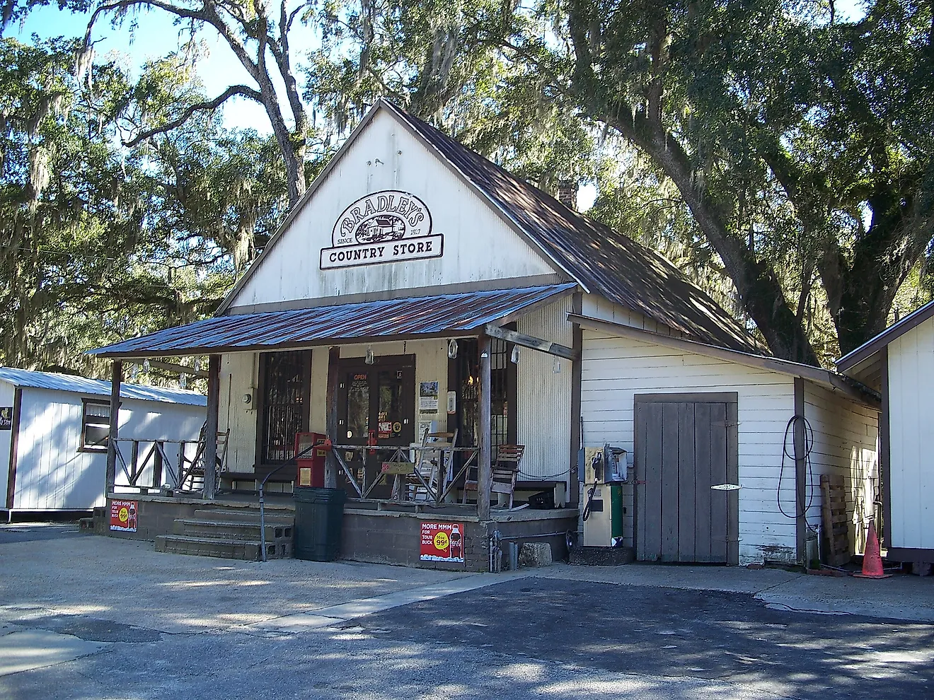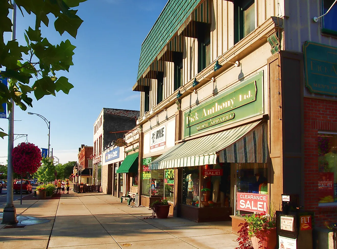
11 Most Peaceful Small Towns In Wisconsin
Quiet has a geography in Wisconsin. It gathers where lakes outnumber lanes, where public land meets the edge of town, and where commerce gives way to routine by early evening. This list focuses on places that make silence practical, not precious: small populations, walkable centers, state parks or preserves within minutes, and water that dampens road noise.
What emerges isn’t nostalgia; it’s function. These towns prove that peace isn’t an escape from daily life; it’s a layout choice. The map points to communities built around shoreline, trailheads, and short errands, places where quiet is reliable, measurable, and part of the infrastructure.
Baileys Harbor

Baileys Harbor is the only town on Door County’s quiet Lake Michigan side, where the shoreline runs raw and undeveloped for miles. It was the site of Door County’s first lighthouse, Old Baileys Harbor Light, built in 1852, and remains a deeply local place, shaped more by forests and ridgelines than boutique commerce. Unlike its busier neighbors on the bay side, Baileys Harbor is defined by its open sky, exposed dunes, and cedar-studded wetlands. It’s also home to The Ridges Sanctuary, Wisconsin’s first land trust and a rare ecological zone of ridge-and-swale topography where orchid species bloom in secretive clumps.

Visitors can climb the spiral steps of the Cana Island Lighthouse, accessible by a stony causeway that disappears in high water. At the south end of town, Anclam Park offers a spit of sand, breakwater rocks, and uninterrupted lake views, with locals launching kayaks into the waves. Door County Brewing Co.’s Taproom & Music Hall on Highway 57 pours small-batch beer with live music. Nearby, Chives Door County, set in a restored bank, serves locally sourced dishes beneath the original vault doors.
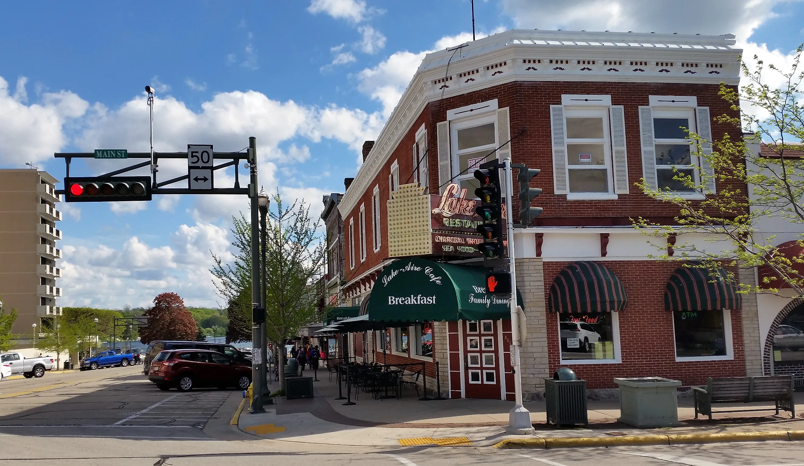
Lake Geneva

Lake Geneva was once the retreat of Chicago’s industrial elite, who rebuilt their estates here after the Great Fire of 1871. Their mansions, stone-fronted and lake-facing, still line the shore, accessible by the 26-mile Geneva Lake Shore Path, which passes directly through their backyards by public easement. The lake itself, spring-fed and unusually deep for southern Wisconsin, remains the town’s geographic and cultural anchor. A restored 19th-century mailboat still delivers letters by leaping courier during summer runs.

At the water’s edge, the Riviera Ballroom stands over Riviera Beach, where swimmers share space with paddleboarders in season. The ballroom’s arched arcade houses small shops and ice cream counters; nearby, Inspired Coffee serves drinks and light bites just off Main Street. Big Foot Beach State Park lies just across the bay, where trails cut through low forest and marsh. Further uphill, the Geneva Lake Museum traces the area’s transformation from Potawatomi land to resort town with original storefronts and a full-scale re-creation of a 1900s street.
Minocqua

Minocqua sits on a chain of 6 lakes connected by channels narrow enough for pontoon boats to slide through like slow-moving trains. The town itself is built on an island, Minocqua Island, linked to the mainland by a single bridge. It’s one of the only places in the state where you can dock a boat outside a fudge shop or glide past a supper club with a martini still in hand. For more than a century, it’s been the summer center of Wisconsin’s Northwoods, where log cabins outnumber sidewalks and loons call through the dusk.

The Bearskin State Trail begins at the old railroad depot downtown and runs 21 miles south across trestle bridges, bogs, and glacial kettles. Wild Berry Market on Highway 70 West stocks smoked whitefish and sour cherry jam, while Otto’s Beer & Brat Garden offers lakefront picnic tables and a Friday fish fry with rye bread and slaw. Minocqua Winter Park, about 10 miles west, maintains over 50 miles (≈86 km) of cross-country ski trails and offers lessons. On the eastern edge of town, the Northwoods Wildlife Center rehabilitates eagles, owls, and fawns with quiet, guided tours.
Eagle River

Eagle River is the anchor of the largest connected chain of freshwater lakes in the world, 28 in all, linked by narrow channels that curve through black spruce and tamarack swamp. The town’s identity is built around its docks, where wooden Chris-Craft boats still pull up beside bait shops and shoreline resorts that have operated since the 1920s. Ice shanties crowd the lakes in winter, but for most of the year, this is a place defined by slow water, muskie tournaments, and the scent of pine sap on hot days.

The Wisconsin River flows quietly behind Trees For Tomorrow, a conservation education center with trails and forestry exhibits open to the public. A few blocks away, Leif’s Café serves wild rice soup and fried walleye on vintage melamine trays, seven days a week. The Walter E. Olson Memorial Library hosts rotating art exhibits and overlooks a marshland filled with red maples and nesting geese. Southeast of town, Lake Nokomis Cranberries offers free seasonal marsh tours and tastings at its on-site winery.
Hayward

Hayward is known for hosting the American Birkebeiner, the largest cross-country ski race in North America, but its quiet season stretches long beyond the February start line. The town sits among glacial lakes and pine barrens, edged by the Chequamegon National Forest. Logging built Hayward, but it’s the network of water, Round Lake, Lac Courte Oreilles, the Chippewa Flowage, that now shapes its rhythm.

The Freshwater Fishing Hall of Fame is impossible to miss; its four-story musky statue looks out over the town’s east side. Inside, mounted pike and bass crowd the walls beside early wooden lures and ice saws. Tremblay’s Sweet Shop on Main Street still hand-pulls saltwater taffy, and West’s Hayward Dairy scoops house-made maple nut into paper dishes. The Lumberjack Bowl, a horseshoe-shaped bay, hosts the annual lumberjack world championships, but draws paddlers and loons the rest of the year. To the north, CAMBA’s Seeley Pass singletrack runs over gravel ridges and through fern glades without a building in sight.
Baraboo

Baraboo sits astride one of the few exposed ridges in the Driftless Area, with sandstone bluffs visible above town and the Baraboo River meandering through its heart. The town was once the winter quarters for the Ringling Brothers Circus, and several circus-era buildings, such as the Al. Ringling Theatre still defines the downtown streetscape. Tucked behind those facades, you’ll find low-traffic alleys and parks that echo with quiet steps on worn bricks.

Devil’s Lake State Park lies a few miles west: the East and West Bluff trails, Balanced Rock, and Devil’s Doorway deliver cliff-edge viewpoints that stretch over quartzite ridges and forested valleys. Across the river, the International Crane Foundation showcases endangered cranes in large habitat enclosures ringed by walking paths and wetland pools. At Fourth and Oak, Little Village Café occupies a renovated storefront and serves simple, well-made plates beneath pressed-tin ceilings. For a slower pace, step into the Sauk County Historical Museum in the Van Orden Mansion, which holds local artifacts in a preserved 1900s home.
Bayfield

Bayfield rises above Lake Superior’s western shore like a cluster of weathered cottages caught in mist over Chequamegon Bay. The town was once the lumber capital of the Bayfield Peninsula, but now trades sawmills for sailboats and orchid-laced ridges. It’s also the departure point for Apostle Islands Cruises, whose routes thread past lighthouses and the sandstone sea caves. In winter, those same caves freeze into ice chimneys, visible only by foot or snowshoe.

Wonderstate Coffee pours espresso on Rittenhouse Avenue with a window onto the harbor. Up on the hill, Hauser’s Superior View Farm sells heirloom apples and local goods in a 1920s barn with lake views. The Bayfield Maritime Museum preserves ship models, navigation tools, and commercial fishing history on First Street. For trails in town, the Big Ravine Preserve’s Gil Larsen Trail climbs to overlooks; a short drive south leads to Houghton Falls State Natural Area, where a gorge path reaches the Lake Superior shoreline.
Wisconsin Dells

Wisconsin Dells takes its name from the French word dalles, meaning “slabs”, a reference to the layered Cambrian sandstone carved by the Wisconsin River into chasms, cliffs, and narrow winding gorges. Though known for its waterparks, the original draw was the landscape itself, first photographed by H.H. Bennett in the 19th century to prove shutter speeds could capture motion. The river remains the town’s defining feature, and beyond the strip, the stone still commands silence.

The Upper Dells boat tour departs from the dock near Broadway and passes through Witches Gulch and Stand Rock. Mirror Lake State Park sits five miles south, where a no-wake lake reflects pine and maple stands in near symmetry. On the town’s north end, Bella Goose Coffee overlooks the river and serves pour-overs and seeded toast from its deck. The H.H. Bennett Studio, preserved as a museum, still houses his original darkroom and stereoscopic images of the cliffs.
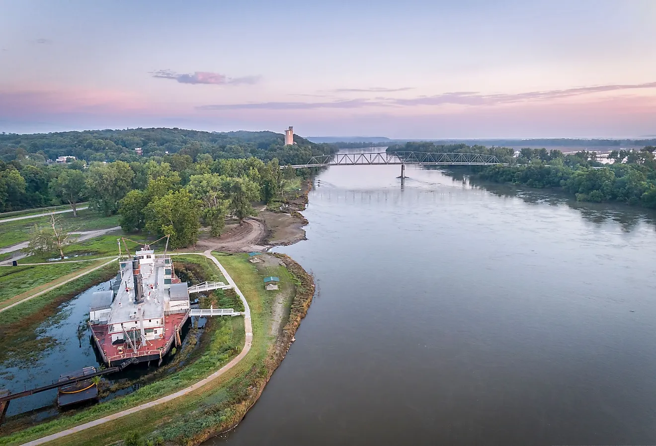
Pepin

Pepin rests on the shoreline of Lake Pepin, a natural widening of the Mississippi River formed by sediment from the Chippewa River delta. It’s one of the few places along the river where sailboats outnumber barges and the bluffs drop straight into open water. Laura Ingalls Wilder was born here in 1867, and the town remains deeply tied to her legacy, less through tourism than a lived connection to land, grain, and river.

The Laura Ingalls Wilder Museum includes artifacts, hand tools, and family memorabilia inside a white clapboard building just off Highway 35. Harbor View Café, open seasonally, sits across from the marina and rotates its menu daily. A few blocks inland, Villa Bellezza Winery hosts tastings in a Romanesque courtyard lined with grapevines and stone. The town beach at First Street and Dunn Street offers a wide view of open water, where pelicans drift past and the far shore of Minnesota blurs in haze.
Trempealeau

Trempealeau sits where the Mississippi River meets the Driftless bluffs, with Brady’s Bluff rising over the water like a stone curtain. The town’s name, derived from the French la montagne qui trempe à l’eau (“the mountain steeped in water”), refers to the isolated peak that stands just offshore. Unlike much of the Upper Mississippi, Trempealeau’s shoreline remains largely marsh and backwater, dense with willow, cattail, and heron nests. Barges move past at a distance. The town itself keeps close to the base of the bluff, with a grid of quiet streets and no through traffic.

The Great River State Trail runs directly through Trempealeau and connects to Perrot State Park, where the trail climbs Brady’s Bluff for a full view of the Mississippi Valley. Trempealeau National Wildlife Refuge, just upriver, offers observation decks and loop drives through shallow wetlands where sandhill cranes gather. The Historic Trempealeau Hotel, founded in 1871, serves its walnut burger and keeps a steady calendar of music. On Main Street, The Station pours coffee, wine, and beer in a compact space that anchors the evening lull.
Elkhart Lake

Elkhart Lake wraps around a spring-fed kettle lake so clear it was once used by steam engines to refill their tanks. The town’s early 20th-century reputation as a health resort still lingers in its layout, porches, long lawns, and footpaths that lead nowhere fast. In the 1950s, Elkhart Lake briefly became a Grand Prix circuit, with drivers racing through village streets. Today, the roar of engines is limited to Road America, a track tucked into surrounding woods. Within town limits, the noise never arrives.

The lakefront at Fireman’s Park and Beach offers public swimming and a wide pier where kids fish for bluegill and perch. The Osthoff Resort hosts a summer farmers’ market on its lawn and rents paddleboards from a boathouse facing the eastern shore. About nine miles south, the Parnell Observation Tower rises above the Kettle Moraine State Forest’s Northern Unit, a 60-foot climb with views over glacial moraines. Back in town, Off the Rail Café occupies the former railroad depot and serves coffee and quiche beneath black-and-white photos of the train era.
These towns share a measurable calm: water without hurry, trails that end at bluffs, and main streets that power down after dusk. Whether it’s the mailboat on Geneva Lake, cranes east of Baraboo, loons over Minocqua, or a barge fading past Trempealeau, Wisconsin’s quiet is concrete and repeatable. Choose any of the eleven and the result is the same: margins, horizons, and time that keeps rhythm with wind, oars, and footfall.