Where is Baghlan, Afghanistan?
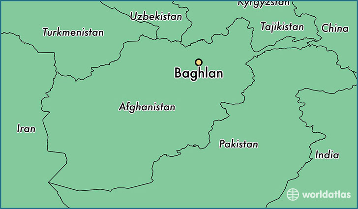
Baghlan is a city found in Wilayat-e Baghlan, Afghanistan. It is located 36.13 latitude and 68.71 longitude and it is situated at elevation 531 meters above sea level.
Baghlan has a population of 108,449 making it the biggest city in Wilayat-e Baghlan. It operates on the AFT time zone.
Quick facts
| Country | Afghanistan |
| Province | Wilayat-e Baghlan |
| Population | 108,449 |
| Elevation | 531 m over sea level |
| Time Zone | AFT |
| Longitude | 68.708290 |
| Latitude | 36.130680 |
This page was last updated on October 2, 2015.