Where is Jalalabad, Afghanistan?
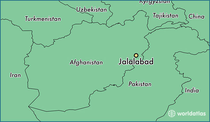
Jalalabad is a city found in Nangarhar, Afghanistan. It is located 34.43 latitude and 70.45 longitude and it is situated at elevation 575 meters above sea level.
Jalalabad has a population of 200,331 making it the biggest city in Nangarhar. It operates on the AFT time zone.
Quick facts
| Country | Afghanistan |
| Province | Nangarhar |
| Population | 200,331 |
| Elevation | 575 m over sea level |
| Time Zone | AFT |
| Longitude | 70.451530 |
| Latitude | 34.426470 |
This page was last updated on October 2, 2015.