Arafura Sea
The Arafura Sea is a marginal sea of the western Pacific Ocean located between Australia and New Guinea Island. The sea covers a surface area of approximately 650,000 square kilometers and connects to the Coral Sea through the Torres Strait. This shallow sea first appeared in George W Earl’s writing in 1837 titled “Sailing Direction for the Arafura Sea.” Its name is derived from a Portuguese corrupt word “Alfores,” which loosely translates to “free men.” According to some people, the name could mean “mountain people.” Arafura is an important sea for the Australians and Indonesians living near its coast because of its rich fishery resources.
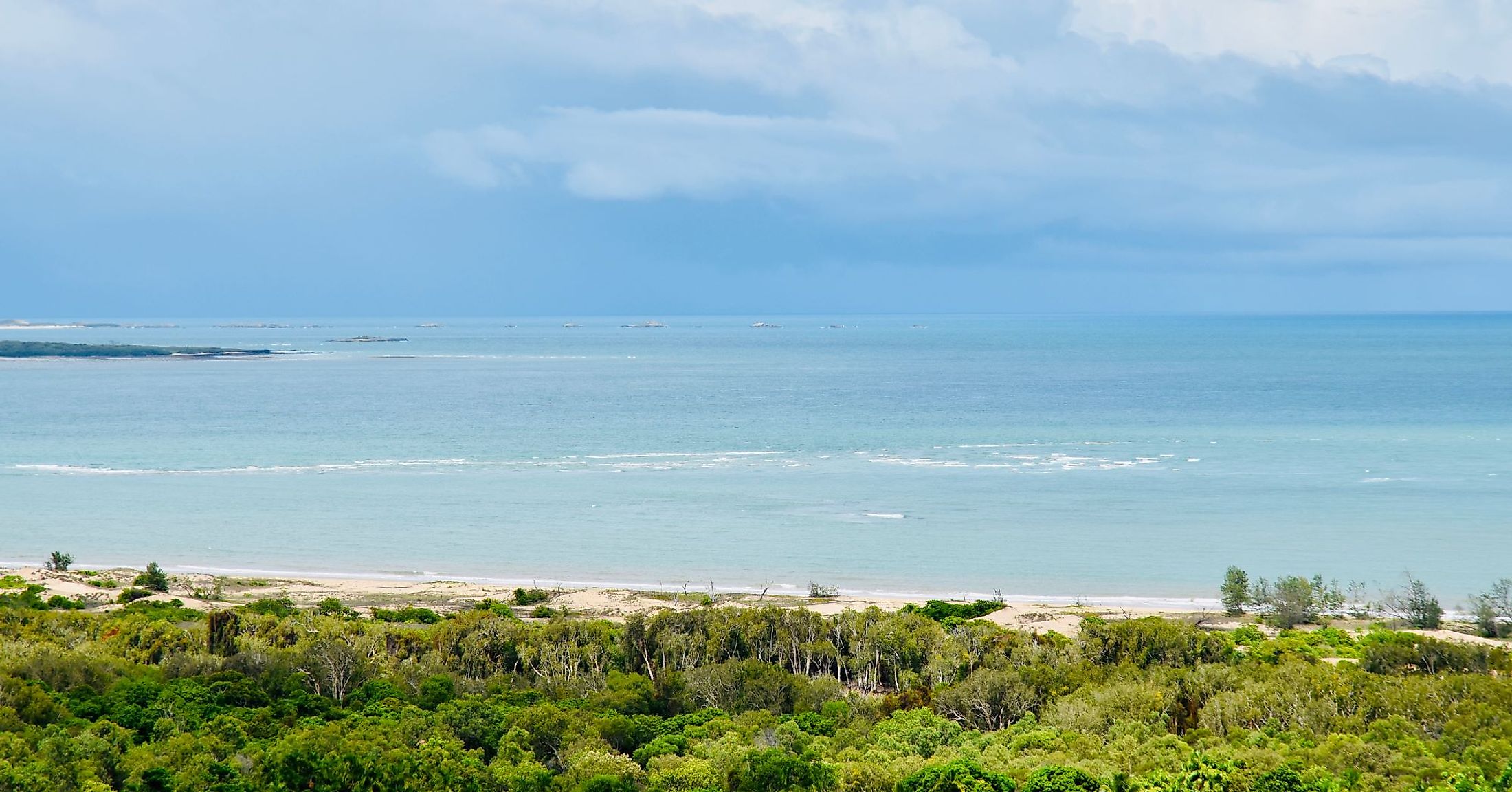
Geography Of The Arafura Sea

The Arafura Sea is an important sea linking the Pacific Ocean to the Indian Ocean and plays a critical role in global circulation. The sea is located between West New Guinea’s southern coast and Australia’s north coast and overlies the Arafura Shelf, a continental shelf that is part of the Sahul Shelf. Several water bodies border the Arafura Sea, including the Gulf of Carpentaria on the south, on the west by the Timor Sea, northwest by Seram and Banda Seas, and east by the Coral Sea, connected to it by the Torres Strait. During the last ice age, the Gulf of Carpentaria, Torres Strait, and the Arafura Gulf formed a land bridge, facilitating migration between New Guinea and Australia.

The Arafura Sea spans approximately 650,000 square kilometers and has a maximum length of 1,290 kilometers from north to south and a maximum width of 560 kilometers. The shallow sea has a depth of 50 to 80 meters and deepens towards the western edge. There are numerous islands in the Arafura Sea, including Croker, Aru, Howard, and Goulburn Islands. The Aru Islands border the 3,660-meter deep Aru Trough, part of the depressions underlying the Arafura, Ceram, and Timor Seas. Arafura receives freshwater from over 30 rivers flowing from Papua and Australia.

The Arafura Sea’s climate is described as tropical maritime with relatively stable wind throughout the year. The Indonesian Throughflow, a warm water current flowing across the sea, from the Pacific to the Indian Oceans has a strong influence on the sea's and the region’s climate. Arafura experiences tropical cyclones and monsoon winds mainly during summer. The warm seawater has an average temperature of 27.7 degrees Celsius, with the temperature expected to rise in the future due to climate change.
Fisheries In The Arafura Sea

The Arafura Sea is a major stronghold for marine and coastal fauna, including birds, dugongs, sea snakes, turtles, sharks, and fish. The region is home to five of the seven turtle species, including hawksbill, flatback, and green turtles. Over 60% of the world’s flatback turtles breed in the Arafura and Timor Seas. Arafura is one of the world’s richest marine fisheries, known for its abundant fish stock. Fish resources include demersal and shrimps, with other species like groupers, Barramundi, and false snappers supporting fisheries on the sea.
Although Arafura is rich in coastal and marine species, all the species are exposed to several threats, including pollution, overfishing, and illegal fishing activities. The coastal areas bordering the sea are home to large populations, of which most depend on the sea for their livelihood. Some fish and other species are exploited beyond their biological limits, leading to their decline. For instance, flatback and hawksbill turtles are declining faster due to damage of their nests by fishing vessels.


