Where Are The Queen Elizabeth Islands?
The Queen Elizabeth Islands are a cluster of islands located in the Canadian Arctic Archipelago. Formerly known as Parry Islands or Parry Archipelago, the features comprise of all islands north of latitude 74°30′ N. Approximately 14% of total earth glacier and ice caps are found on the Queens Islands. The Islands were named in honor of Queen Elizabeth II after her coronation as the Queen of Canada in 1953.
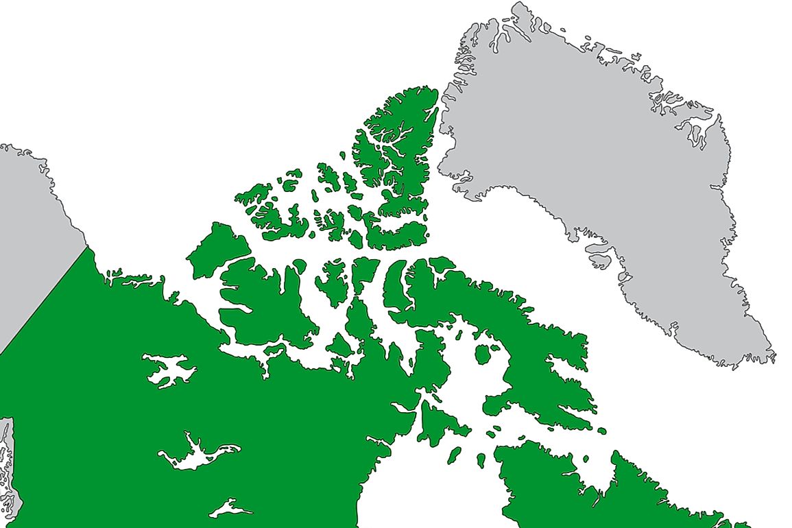
Geography
The islands occupy a total combined area of 161,800 square miles. Most of the islands are uninhabited. There are monitors mounted by natural resource climatic change Geoscience Program Earth Science Sector (ESS) to analyze glacier and ice caps. The islands border the Nares Strait on the east, Parry Channel to the south, and the Arctic Ocean to the west and North. Queen Elizabeth Islands were first identified by Europeans in 1616 but were not charted until the British and Norwegian exploration reached the site in the 19th Century. The islands are classified into three main regions namely Ellesmere Islands, Sverdrup Islands, and Parry Islands.
Major and Minor islands
Queen Elizabeth’s Islands can be grouped in terms of geographical coverage in miles. Ellesmere Island is the largest followed by Melville, Devon, and Axel Heiberg. The five cover a total land area of approximately 150,000 square miles and were partially explored by William Baffin and Robert Bylot in 1615-16. Other major islands are Amund Ringnes, Borden Island, Eglinton and Prince Patrick Island. There are many small islands, a notable one being the Beechey Island where the graves of Petty Officer John Torrington, William Braine, and Able Seaman John Hartnell are held. Other minor islands are Hans, Cheyne, and Skraeling Island.
Population
The islands have very low population and some are nearly uninhabited. With less than 400 people living there, Queen Elizabeth Islands can be classified as some of the regions with the lowest population density in the world. There are two municipalities namely Hamlets of Resolute and Grise Fiord with a population of 229 and 141 respectively. The Alert Island is an environmental weather station for the Canadian government and has a population of 5 people. Though Eureka has no permanent residents, a rotational staff of 8 visits the site to monitor the research base located there.
Administration
The islands were part of the Baffin Region in the Northwest Territories until 1999 when a new administration took over. In 1999 Nunavut Territory was created and all islands and parts of Archipelago islands located to the east of 110th meridian west formed Qikiqtaaluk region. The newly created region was a major part of the archipelago. The remaining region of Northwest Territories was composed of parts of Borden, Mackenzie King, and Melville Island. Currently, the only major islands completely on Northwest Territories are the Eglinton, Prince Patrick, and Emerald Islands. Administratively, there are only two municipalities namely Resolute and Grise Fiord.
Glaciers and Ice Caps
Queen Elizabeth Islands contain glacier and ice caps almost throughout the year. There are four notable glacier zones which include Devon Ice Cap, one of the largest glacier regions in the islands measuring 656 square miles, the Meighen Ice Cap measuring 29 square miles, Melville South Ice Cap measuring 20 square miles, and the Axel Heiberg island glacier measuring 15 square miles. The environment provides a cool environment for polar bears to thrive.


