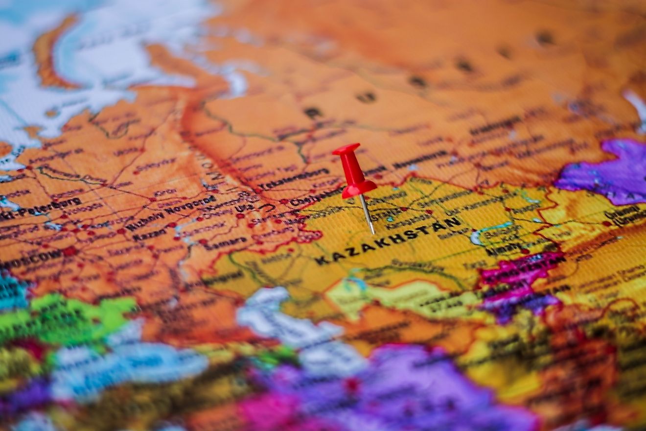
What is a Topographic Map?
A map is a diagrammatic representation of the actual features of the Earth. The study and practice of creating a representation of the Earth's surface on a flat surface is known as cartography. Maps are either static, dimensional, dynamic, or even interactive. They represent various things such as physical features, population, political boundaries, climate, economic activities, natural resources, roads, climate, and topography. There are several types of maps in use today. One of the most commonly used maps is the topographic map.
Topographic Map
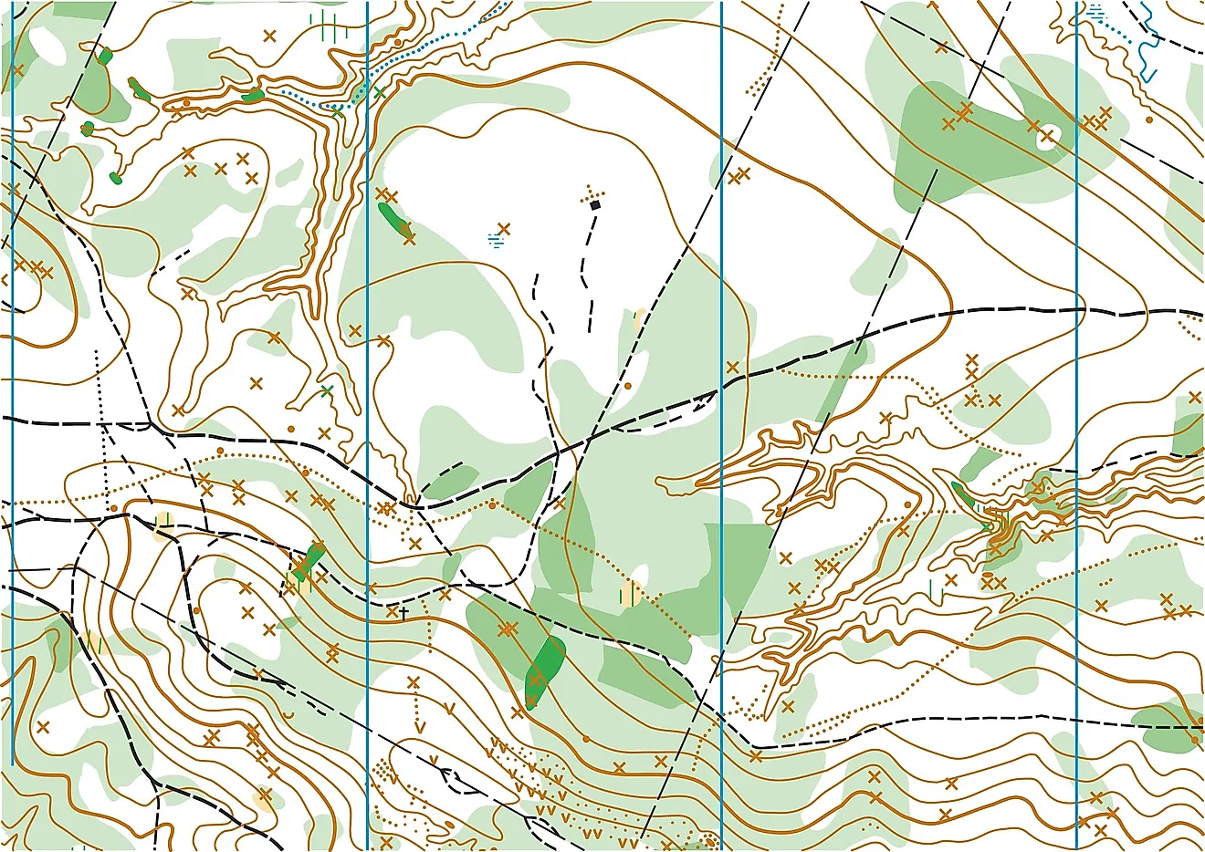
Topographic maps are detailed maps that represent the graphics features on the Earth's surface. The map uses contours lines to represent relief and other geographic features such as infrastructural development, water bodies, buildings, and other prominent features. Contour lines are lines that join places of equal height and make it possible to show heights and shape of physical features. Topographic maps are two-dimensional maps that represent a three-dimensional Earth surface. They are different from other maps in that they show both vertical and horizontal positions of the terrain. Apart from contour lines, colors, labels, and symbols are also used to portray the shapes and location of the geographical features.
Features of the Map
In order for topographic maps to be relevant and useful, the maps must have sufficient information on its size. The size of the map is derived by selecting a map scale that is neither large nor small. The map details are enhanced by the use of colors and symbols. The most commonly used USGC topographical map scale is 1:24,000, whereby, one inch on the map represents 24,000 inches on the ground. This map is also referred to as 7.5 minutes quadrangle map because it covers a four-sided area on the Earth’s surface. Other commonly used USGS scales for large areas include 1:250,000, 1:100,000, and 1:63,360. Symbols and colors make topographic maps easy to interpret and are used to represent the different man-made and natural features. Some of the symbols may be designed to look like the actual feature. Water bodies such as rivers and lakes are always represented by the color blue, forests and other vegetated areas by green, minor roads by black, and major highways are shown in red. Contour lines are shown in brown.
Producing a Topographic Map
The process of processing a topographic map is long and complex and may take up to five years. The process involves a team of surveyors, fact-checkers, engravers, and printers among other personnel. It involves photographing the area to be mapped which is done from the air and from different angles to provide a three-dimensional image that can be converted to contours. To ensure that the map is accurate, the various controlled points of the photographed area are established. The control points can be the intersection of two prominent features such as roads. The points are surveyed to establish longitude, latitude, and elevation. Once the facts have been confirmed and checked, the map manuscript is compiled, edited, and printed as a topographic map.
Uses of Topographic Maps
Topographic maps are used for several purposes including traveling, recreation, and hiking. They are also used by governments and other organizations to assist with the creation of legal boundaries, mining, urban planning, and emergency management.