What Continent Is The Philippines In?
The Republic of the Philippines, as the state is officially called, was given the name “Philippines” in recognition of Prince Phillip, Spain’s crown prince in the mid-15th century who would later rule Spain as King Phillip II. The name was given by Ruy Lopez de Villalobos, a Spanish explorer in the 15th century, during his expeditions into the islands. The name of the state was changed to the Philippine Republic during the time of the Philippine Revolution, and again changed to the Philippine Islands when the Americans occupied the region. The current name, The Republic of the Philippines, was approved during the Treaty of Paris in the year 1998 and made official after the termination of World War II.
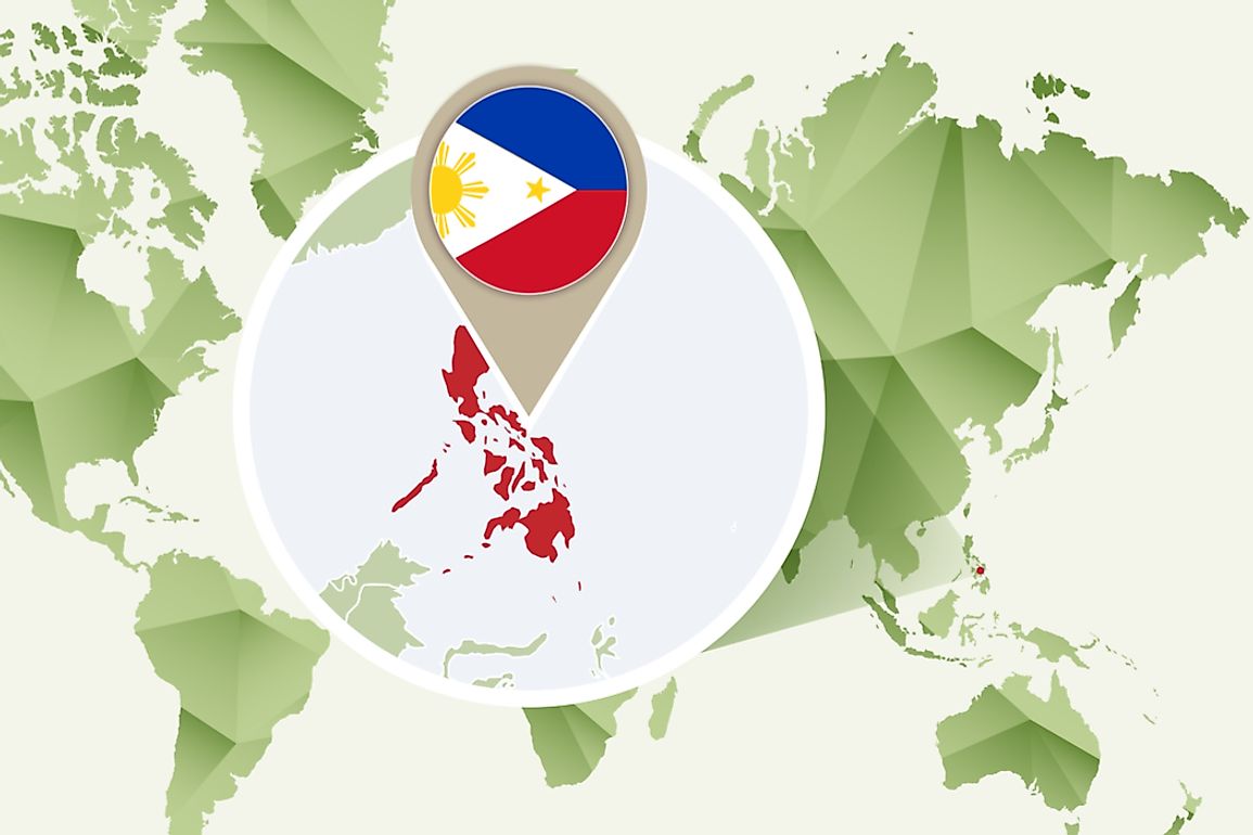
Location
The Philippines is an archipelagic independent nation located in the Pacific Ocean to the southeast of the Asian continent. The group of islands that make up the archipelagic state number upwards of 7000 with an area of more than 115,831 square miles including bodies of water found inland. The islands are broadly categorized into three divisions namely Luzon, Mindanao, and the Visayas. The capital city of the Philippines is Manila with Quezon City having the highest population.
To the east, the Philippines is bordered by the Philippine Sea with Palau also to its east. Vietnam and the South China Sea are on the eastern border. The north is bound by Taiwan while the south is by Malaysia and Indonesia. The island of Borneo is a short distance to the southwest next to the Sulu Sea. The Moluccas (Maluku) and Sulawesi islands of Indonesia are to the south-southwest of the Philippines.
Even more precisely, the Philippines is located between longitudes 116° 40' and 126° 34' east, and between latitudes 4° 40' and 21° 10' north.
Geography
Being an island state, it is no surprise that the Philippines has a massive longest coastline with lengths of approximately 22,549 miles.
The vast majority of the islands are characterized by mountainous terrain and are prone to damaging earthquakes and volcanic eruptions from around twenty active volcanoes. Aside from these natural disasters, the islands are regularly harassed by violent storms and typhoons. With a height of up to 9,692 feet, Mount Apo, in the island of Mindanao, is the highest mountain while the most active volcanic mountain is Mount Mayon.
Main water bodies include the Cagayan River in Luzon (the longest river in the Philippines), the Manila Bay in Manila, and the Laguna de Bay (most enormous lake of the Philippines).Others include the Pasig River, the Davao Gulf, the Moro Gulf, and the Subic Bay. The Galathea Depth in the Philippine Trench (in the Philippine Sea) is the deepest point and is the third deepest trench in the globe.
Government
The Philippines is a unitary country with a president who heads the government and the state. The region of Mindanao is dominated by Muslims and is autonomous. The state’s independence was achieved in 1898 and is a founding member of the UN and the Association of Southeast Asian Nations.


