What Continent is the Dominican Republic In?
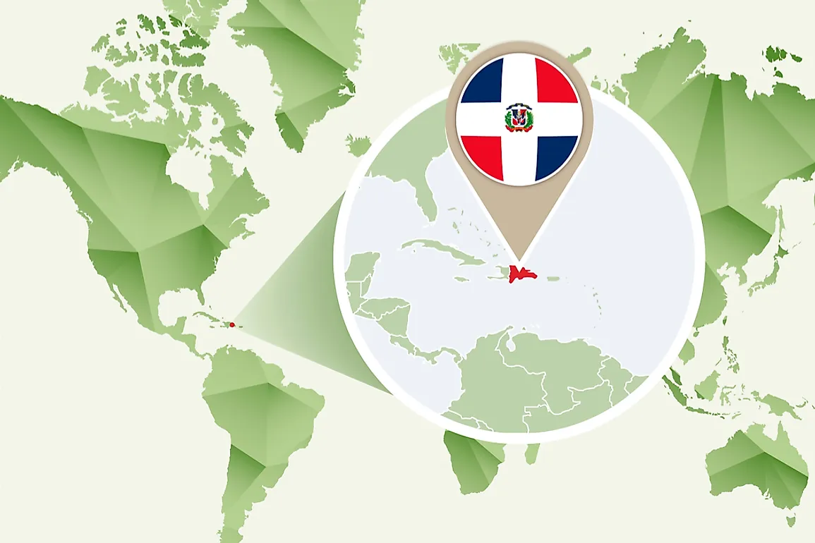
The Dominican Republic is considered part of the North American continent, and it is among the most visited nations in the Caribbean. Some of the famous and popular attractions include golf courses, the sandy beaches, and the tropical climate. The country is located on the Caribbean Hispaniola Island also known as Española. The country borders the Atlantic Ocean, the Caribbean Sea, Haiti, and the Mona Passage. The Dominican Republic is almost twice the size of the US state of New Hampshire.
Geographic Location
The country covers approximately two thirds of the whole of Hispaniola Island which makes it the second largest country by size in the whole of the Caribbean after Cuba. Part of the republic’s territory includes the islands of Catalina, Beata, Saona, Catalinita, and Alto Velo which are all located in the Caribbean Sea. There are some islets and cays in the Atlantic Ocean also belonging to the Dominican Republic. The Atlantic Ocean forms the northern border of the country while the Caribbean Sea borders it to the South. The country shares its western border with Haiti. The Mona Passage separates the Dominican Republic from Puerto Rico with a distance of about 237 miles.
Size of Dominican Republic
The total area covered by the Dominican Republic including its offshore islands is approximately 18,815 square miles. The maximum length of the country measured from east to west is 240 miles, and the width from North to South is 162 miles at its maximum. The entire boundary length of the Dominican Republic is 890 miles of which 696 miles form the coastline on the Atlantic and Caribbean shores. Of the offshore islands, the largest are Beata in the southwest and Saona located in the southeast.
Relief Features
The Dominican Republic’s terrains spot a variety of relief features. The interior of the island is mountainous, and the country is home to the Caribbean’s highest Pico Duarte which stands at 10,164 feet high and is part of the Cordillera Central. Four main rivers drain the mountainous interior of the country, and they include the Yaque del Norte which is the most important river in the country, the Yuna, the Yaque del Sur, and the Artibonito which is the longest river on the Hispaniola island flowing west into Haiti. Lake Enriquillo is the largest lake in the Caribbean and also the lowest point in the island country. This lake is fed by several minor river systems springing from the Neiba Mountains.
Population and Inhabitants
The Dominican Republic is the third-largest country by population in the Caribbean. Demographic reports from 2016 estimated the country’s population at 10.65 million. The capital city, Santo Domingo which is located at the southern coast, is home to at least 2,907,100 people. It is the most populous city in the country and is also the largest metropolitan area in the Caribbean by population. Santiago de los Caballeros is the second-largest in the country and the fourth largest in the Caribbean. The Dominican Republic has reaped significant economic benefits from its geographical location in the Caribbean. The extensive coastline, the climate, fertile soils, and deep harbors have all chipped in to make the Dominican Republic the economic powerhouse of the Caribbean.


