What Continent is Egypt In?
Where is Egypt?
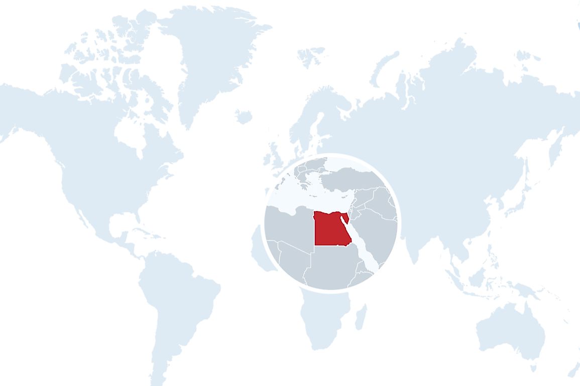
The Arab Republic of Egypt is one of the few transcontinental countries in the world. A large part of the country is in the northeast corner of Africa while the Sinai Peninsula is located in the southwest corner of the Asian continent. Egypt considers itself an African state, it has been a member of the African Union since May 1963. Israel and the contested Gaza strip lie to the northeast of the country while the Red Sea is located covers the east and part of the southern borders of the state, Sudan covers the other southern border. Libya is located on the western side of Egypt.
History
The country is considered one of the earliest nations on earth. It is a cradle of civilization responsible for earliest forms of functional governments, writing, agriculture, and religion. Modern Egypt dates back to early 20th, after gaining independence from the British it established the government as a Monarchy. In 1952 a revolution occurred, and Egypt became a Republic state. Six years later it merged with Syria, and the United Arab Republic was born. The union was later resolved in 1961. In the second half of the 20th century, Egypt engaged in several conflicts with Israel. The conflicts were in 1948, 1956, 1967 and 1973. Between 1967 and 1980, Egypt occupied the Gaza Strip before signing the Camp David Accords which saw the state withdraw its troops and recognizing the existence of Israel as a country.
Geography
Egypt covers an area of approximately 386,660 square miles. The country is extremely arid. The majority (99%) of the 95 million people reside along the Nile Valley and Delta geographically, 98% of the population live in 3% of the country. In fact, it is the driest and the sunniest country in the world. Mainland Egypt is connected to the Sinai Peninsula by the Isthmus of Suez; a land bridge connecting Africa and Asia. Both the Sahara and Libyan Desert cross into Egypt. Apart from the shores of the Nile river, all the other parts of Egypt consist of deserts unfit for human settlement.
Climate
Rainfall is sporadic in Egypt, but when it rains, it does so during the winter. The rainfall averages about 5 mm annually south of the Capital Cairo and 410 mm on the northern coast. In some occasions, it snows on the Sinai mountains and in the northern areas. On December 13, 2013, Cairo experienced its first ever snow in decades although it was very minimal. During summer the northern part of the country experiences high temperature while the other parts experience extremely high temperature. The Khamaseen winds blow from the deserts in the south during early summer and expose the nation to scorching sand and dust; the temperature rises to about 50°C. Before the Nile Dam was constructed, the Nile River flooded the Nile Valley and replenished the soil. The farmers harvested remained consisted until the dam was created. The rising sea levels and global warming is threatening the densely populated coastal areas of the country. The construction of the Ethiopian Grand Renaissance Dam on the Blue Nile has led to a cold war between the two nations as Egypt perceive the Nile as its heart.


