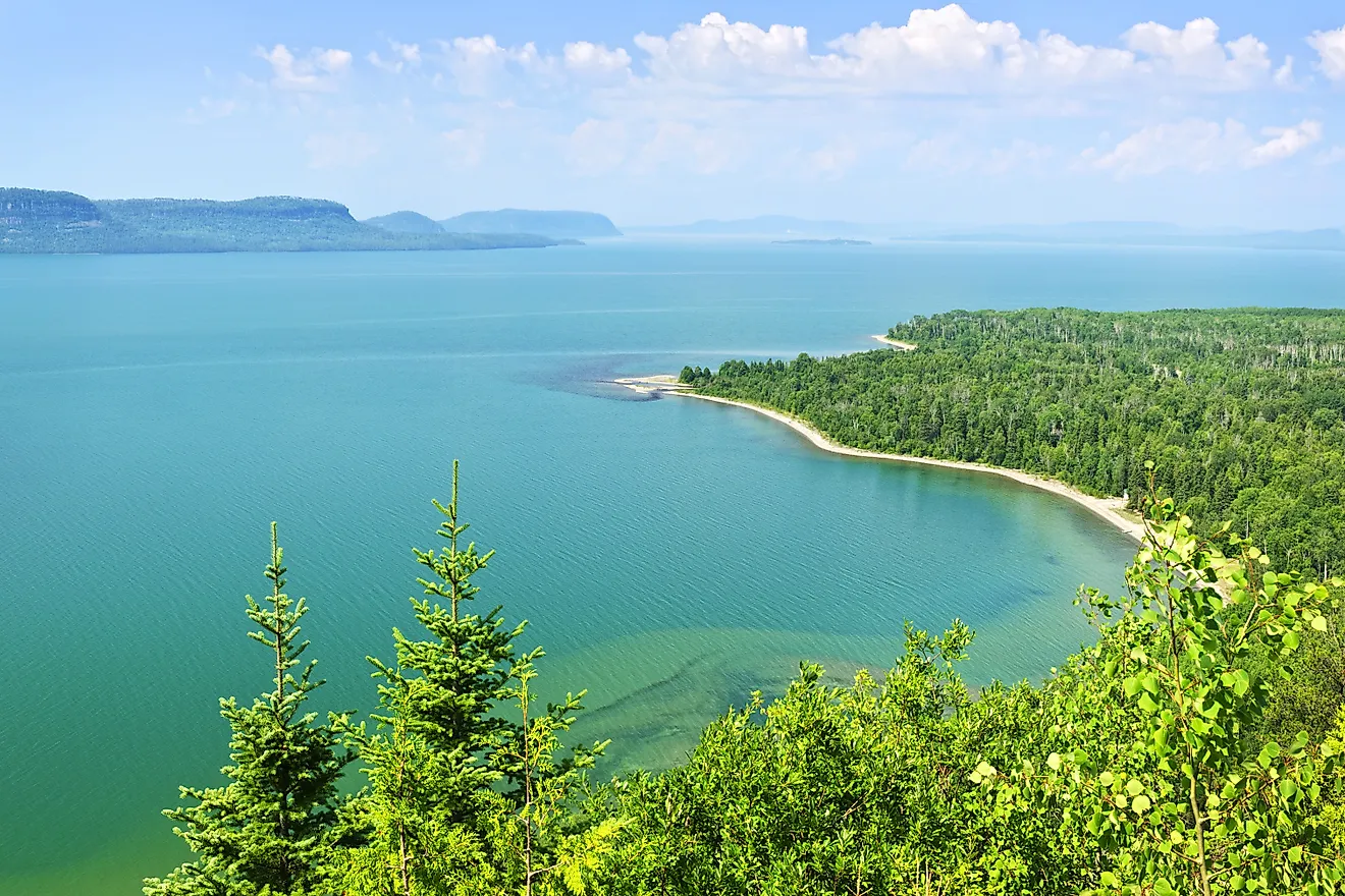
Lake Huron
Covering a combined area of 244,106 sq. km, the Great Lakes of North America is a series of five interconnected freshwater lakes that holds about 21% of the planet’s freshwater. Spanning across the United States and Canada, the five lakes are Lake Superior, Lake Huron, Lake Michigan, Lake Erie, and Lake Ontario.
Encompassing an area of 59,590 sq. km, Lake Huron is the 2nd largest of the Great Lakes and the world’s 4th largest freshwater lake. The Lake is bounded on the west and south by the US State of Michigan and on the east and north by the Canadian Province of Ontario. Lake Huron occupies the eastern part of Lake Michigan-Huron and when combined the Lake Michigan-Huron (with an area of 117,000 sq. km) is considered as the world’s largest freshwater lake and the 4th largest lake by volume. It is estimated that approximately 23,580 sq. km of the Lake Huron’s area is located in the US State of Michigan and 13,904 sq. km area is located in the Canadian Province of Ontario.
Contents:
Geography

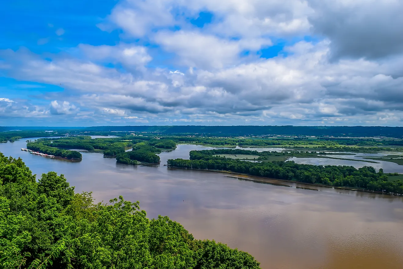
Lake Huron has a length 332km of and a maximum width of 295km. The lake has a mean surface elevation of 176m, which is similar to that of Lake Michigan. Lake Huron has an average depth of 59m and reaches a maximum depth of 229m. The lake holds approximately 3,543km3 volume of water and has a retention time of about 22 years. The 8km wide and 37m deep Straits of Mackinac connects Lake Huron with Lake Michigan. Lake Huron receives its major inflow of water from the St. Marys River, which also acts as a connection between Lake Huron and Lake Superior. The St. Clair River serves as the primary outflow of Lake Huron. From the St. Clair River, the waters flow via the Great Lakes Waterway to Lake St. Clair, and from there via the Detroit River to Lake Erie. The large Georgian Bay protrudes from the northeastern edge of the lake into the province of Ontario, while, the smaller Saginaw Bay protrudes from the southwestern part of the lake into the state of Michigan.
It is believed that like all the other Great Lakes, Lake Huron was also formed from the melting of glaciers during the last glacial period. An ancient ridge known as the Alpena-Amberley Ridge runs beneath the lake’s surface from the city of Alpena in Michigan to Point Clark in Ontario.
Islands

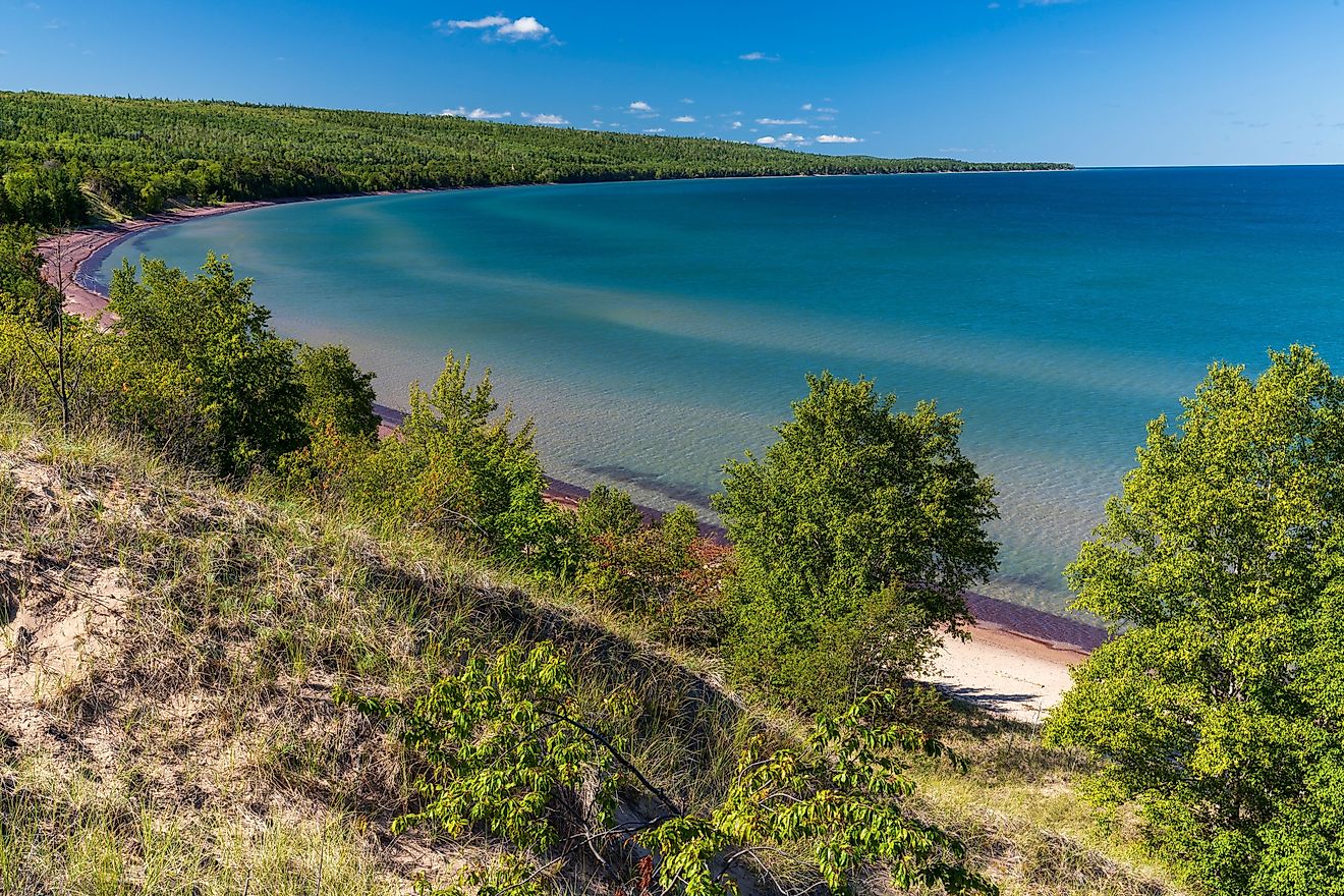
It is estimated that there are about 30,000 islands in Lake Huron and taking these islands into account, Lake Huron has a shoreline length of 3,190km, which is the longest among all the Great Lakes. Some of these significant lake islands include Mackinac Island, Manitoulin Island, Goose Island, Bois Blanc Island, St. Joseph Island, etc. Situated in Lake Huron and covering an area of 2,766 sq. km, Manitoulin Island is the world’s largest freshwater island. The Manitoulin Island helps in separating the Georgian Bay and the North Channel from the main Huron Lake.
Flora And Fauna

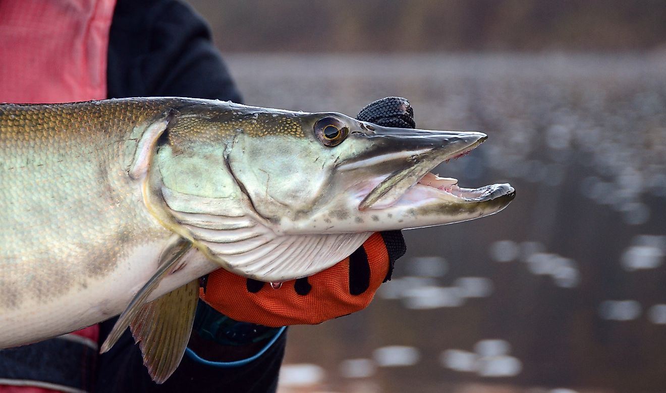
Several scientific studies have revealed that the lake initially supported many native deep-water fishes like lake trout, ciscos, sculpins, etc. However, due to overfishing and the introduction of invasive species like rainbow smelt, sea lamprey, alewife fish, round gobies, quaggas, zebra mussels, spiny water fleas, etc., the native fishes were rapidly extirpated from the lake. Currently, fishes like Chinook salmon, bloater fish, lake trout, whitefish, walleye, white perch, etc. are found in the waters of Lake Huron. The lake islands provide critical habitats for many significant flora and fauna.
Brief History

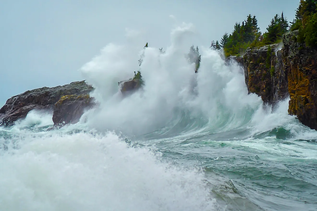
Geologists believe that about 9,000 years ago when the water levels of Lake Huron were about 100m lower than the present water levels, the Alpena-Amberley Ridge was exposed above the waters of the lake. This land bridge served as an initial migration route for large herds of reindeer. Archaeological excavations have revealed many stone constructions along the Alpena-Amberley Ridge, that are believed to be used by the indigenous Paleo-Indians. Before the arrival of the Europeans, about 25,000 native Huron people lived along the shores of the lake. In 1615, the French explorer Samuel de Champlain became the first European to explore Lake Huron. The French explorers initially called the lake “La Mer Douce” (“the freshwater sea”). The Lake was later renamed by the French as “Lake Huron” after the Huron people. On November 9, 1913, Lake Huron was hit by a severe storm that killed about 235 sailors and sank about 10 ships that were plying on the lake. Presently more than 1000 ships lie buried in Lake Huron. About 116 shipwrecks have been preserved in the 1,160 sq. km Thunder Bay National Marine Sanctuary.
Navigation
As a part of the St. Lawrence Seaway, Lake Huron serves as an important navigational route for commercial cargo ships carrying several economically important materials. Situated on the eastern shore of Lake Huron in the southwestern part of Ontario is the city of Sarnia, which is considered the largest city on Lake Huron. Some of the other important settlements along Lake Huron are Bay City, Cheboygan, Port Huron, Alpena in Michigan and Owen Sound, Collingwood, Wasaga Beach in Ontario. The habitats of the lake serve as popular tourist destinations and attract several tourists every year.