The Longest Rivers in Arkansas
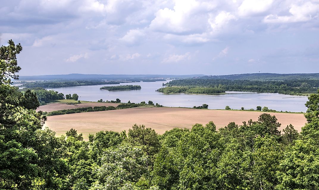
Arkansas is a US state located in the southeastern part of the country. It shares borders with several other states, including Louisiana, Texas, Mississippi, and Oklahoma. Arkansas is characterized by two distinct geographic regions, the lowlands and the highlands, both of which are rich in biodiversity and home to a number of waterways. This article highlights the longest rivers in Arkansas.
The Longest Rivers in Arkansas
The ten longest rivers in Arkansas are all over 200 miles in length. The top three, however, run a course of over 1,000 miles and are considered major waterways within the entire United States.
1. The Mississippi River
The Mississippi River is the longest river in Arkansas, and runs from the northern region of the state of Minnesota and empties into the Gulf of Mexico. The Mississippi River basin is the second largest in the US and the fourth largest in the world. It covers an area of 1.245 million square miles between the Appalachian and Rocky Mountain ranges, draining almost all water from the area. The Mississippi has a length of 2,320 miles, which is divided into the sections: the Upper, Middle, and Lower. It is the lower division that flows through Arkansas, marking its eastern border. Two significant tributaries feed into the Mississippi River in Arkansas: the White River and the Arkansas River.
2. The Arkansas River
The Arkansas River is the second longest river in the state of Arkansas, and the sixth longest in the United States. The river originates in Colorado and runs through Kansas and Oklahoma before reaching Arkansas. The Arkansas River has a total length of 1,469 miles before emptying into the Mississippi River near the city of Napoleon. It is divided into three sections: the first section flows rapidly through the Rocky Mountains; the second section slows down and widens out through the Great Plains; and the third section is its widest area. A number of dams and reservoirs have been built along the river, making it an important route for transporting goods. The Arkansas River drainage basin covers an area of 170,000 square miles.
3. The Red River
The Red River, sometimes referred to as the Red River of the South, is the third longest river in Arkansas. It has a total length of 1,360 miles, originating near the border between northern Texas and southern Oklahoma. It flows across Texas to the border of Arkansas, officially serving as the border between the two states for a short stretch, before turning further into the state of Arkansas. The Red River basin covers an area of around 65,590 square miles, forming the second largest watershed region in the Great Plains. Several tributaries flow into this river, including the Little Wichita River, Kiamichi River, and Pease River. The Red River is characterized by its arid climate and inconsistent flow, particularly toward the start of its course. Once it reaches inner Arkansas, however, its water supply becomes more constant.
Arkansas has a number of other lengthy rivers, including: the White River (722 miles), Ouachita River (548 miles), St. Francis (426 miles), Bayou Bartholomew (426 miles), Black River (300 miles), Little River (222 miles), and Bayou Macon (218 miles).
The Longest Rivers in Arkansas
| Rank | River | Length |
|---|---|---|
| 1 | Mississippi River | 3,730 km |
| 2 | Arkansas River | 2,364 km |
| 3 | Red River | 2,190 km |
| 4 | White River | 1,162 km |
| 5 | Ouachita River | 882 km |
| 6 | St. Francis River | 686 km |
| 7 | Bayou Bartholomew | 586 km |
| 8 | Black River | 480 km |
| 9 | Little River | 357 km |
| 10 | Bayou Macon | 351 km |


