The 10 Longest Rivers in Rhode Island
Rhode Island is a US state located in the country's New England region, on the shores of the Atlantic Ocean. In terms of size, it is the smallest state by area, and ranks as the 7th least populous. Rhode Island was the first state to renounce its loyalty to the British Crown, and the fourth state to ratify the Articles of Confederation in 1778. Rhode Island was not involved in the drafting of the US Constitution but ratified it on May 29, 1790. Approximately 14% of Rhode Island’s total area is water, due to its large number of bays and islets. Additionally, the state has some of the shortest rivers in the country because of its close proximity to the Atlantic Ocean. However, the longest rivers in Rhode Island are highlighted below.
The Four Longest Rivers in Rhode Island
Blackstone River
The Blackstone River flows for 48 miles, from the confluence of Mill Brook and the Middle River in Worcester, Massachusetts, to the Seekonk River in Pawtucket, Rhode Island, and drains a watershed about 540 sq miles. The main tributaries of the river are the Mumford, West, North Smithfield, and Branch Rivers. The Blackstone River flows through various industrial areas, which have left it heavily polluted. In fact, in 1990 the United States Environmental Protection Agency (EPA) declared it the most polluted river in the country in terms of toxic sediments.
Pawcatuck River
The Pawcatuck River flows for 34 miles, from South Kingstown, Rhode Island to Little Narragansett Bay, which is located in Long Island Sound. According to its 1663 charter, the river served as the western boundary line of the Colony of Rhode Island and Providence Plantations, which was one of the Thirteen British Colonies. There are eight major dams along the course of the river, and in 2010 the river flooded, forcing the authorities to evacuate low-lying areas. In 2006, a dolphin from the Atlantic Ocean swam several miles upstream but later died from injuries.
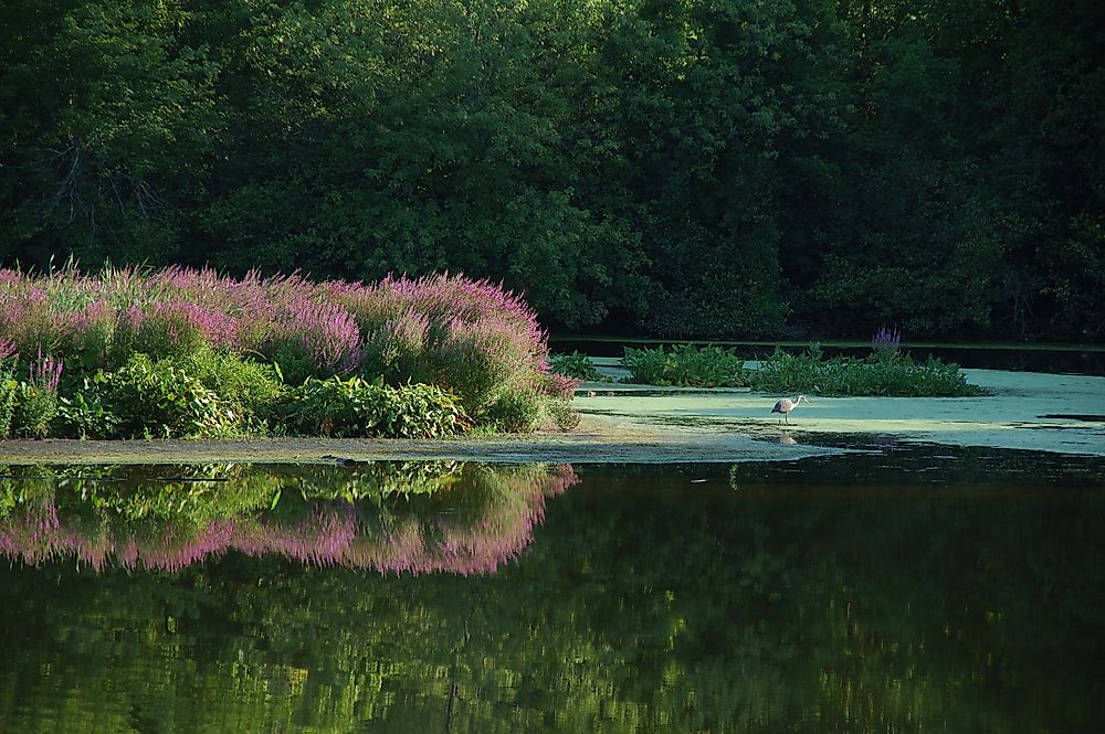
Wood River
The Wood River is a major tributary of the Pawcatuck River. It originates from the swamps of Porter Pond, Connecticut, and flows for 25 miles to merge with the Pawcatuck River in Alton, Rhode Island. The Flat River is its major tributary. The entire length of the Wood River is protected by the Wood-Pawcatuck Watershed Association (WPWA), and is therefore less polluted compared to other rivers. For example, the WPWA prohibits non-electric-powered boats from navigating the river. This is significant, as the river provides water to more than 100,000 households.
Moosup River
The Moosup River begins in Clark Pond, Rhode Island, and flows for 23.7 miles until reaching its mouth at the Quinebaug River. After conservationists recommended the removal of dams along the river, the Moosup Dam #1, located in Connecticut, was removed in 2014. A year later, the Griswold Rubber dam was also removed.
Conservation of Water Catchment Areas
The Rhode Island Department of Environmental Management is responsible for the conservation of natural resources within the state. The department strives to promote sustainable use of water by educating the public on the importance of water catchment areas. Additionally, state laws prohibit the dumping of industrial waste in rivers and streams.
List of the 10 Longest Rivers in Rhode Island
| Rank | River | Length |
|---|---|---|
| 1 | Blackstone River | 48 mi (77 km) |
| 2 | Pawcatuck River | 34 mi (55 km) |
| 3 | Wood River | 25 mi (40 km) |
| 4 | Moosup River | 24 mi (39 km) |
| 5 | Ten Mile River | 22 mi (35 km) |
| 6 | Mill River | 17 mi (27 km) |
| 7 | Woonasquatucket River | 16 mi (26 km) |
| 8 | Sakonnet River | 14 mi (23 km) |
| 9 | Ponaganset River | 12.5 mi (20.1 km) |
| 10 | Pawtuxet River | 12.3 mi (19.8 km) |


