Malawi Facts – Facts About Malawi
6. Where Is Malawi?
A landlocked country, Malawi, formerly known as Nyasaland, is located in southeast Africa. Zambia borders Malawi to the northwest and Tanzania borders it to the northeast. Malawi shares its eastern, southern, and western borders with Mozambique. The country spans an area of 118,000 square km and houses 16,777,547 people. Lilongwe is the capital city of Malawi. Nearly one-third of Malawi’s area is covered by Lake Malawi. The country is one of the least developed economies of the world and has a largely agrarian society.
5. Capital Of Malawi
Lilongwe is Malawi’s largest and capital city. As of 2015, Malawi’s population was 1,077,116. The city is located in the central region of the country and is close to Malawi’s borders with Zambia and Mozambique. The capital of Malawi was initially a small fishing village on the Lilongwe River’s banks. Due to its strategic location, the British used it as an administrative center during the colonial rule. Lilongwe was recognized as a town in 1947, and after the country’s independence, Lilongwe became the capital of Malawi.
4. Population Of Malawi
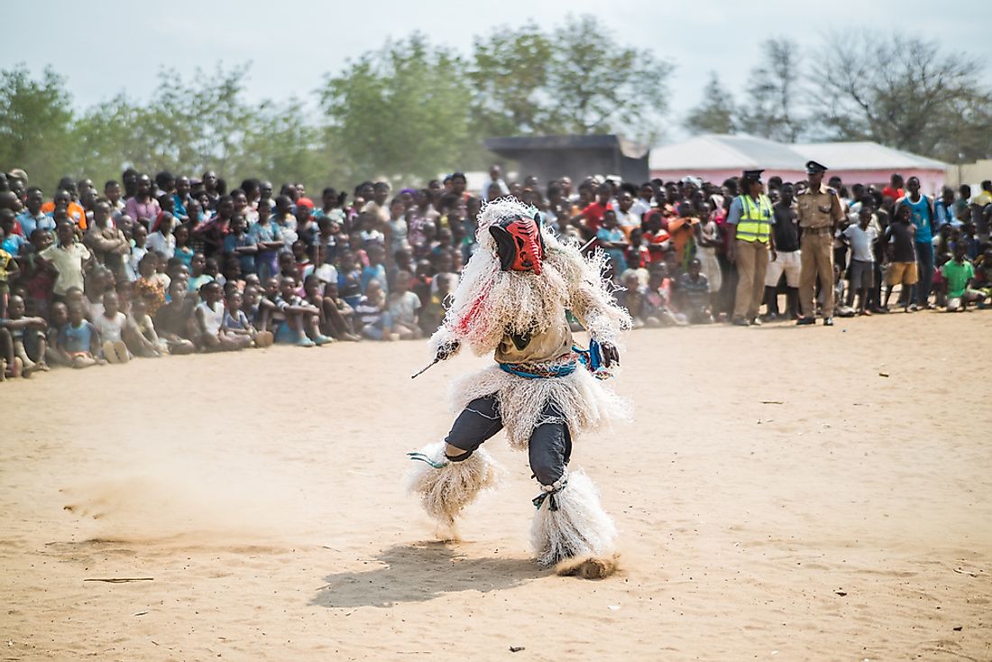
Over 15 million people reside in Malawi, and the growth rate of the population of Malawi is 2.75%. The native ethnic groups in the country include the Yao, Chewa, Sena, Nyanja, Ngonde, Ngoni, Tumbuka, and a few others. Non-native Europeans and Asians also have a significant presence in the country. Most of the Malawians are Christians, and Muslims are the largest minority. Most of Malawi’s Muslims are Sunnis, and few are Ahmadiyya Muslims. Hindus, Rastafarians, and Baha’is are the other minority religious groups in Malawi. Atheists form about 4% of the population and some sections of the population also practice traditional African religions. The Malawian population suffers from high rates of infant mortality and has low life expectancy.
3. Languages Of Malawi
English is the official language of Malawi, a reminder of the British colonial rule in the country. Native languages of Malawi include the Chichewa which is spoken by a majority (57%) of the population, Chinyanja that is spoken by 12.8% of Malawians, Chiyao with 10.1% speakers, and Chitumbuka, spoken by 9.5% of Malawians.
Malawian Lomwe (250,000), Kokola (200,000), Lambya (45,000), Ndali (70,000), Nyakyusa-Ngonde (300,000), Malawian Sena (270,000), and Tonga (170,000) are the other native languages of Malawi. The number of speakers of these languages in Malawi is mentioned within brackets.
2. Geography Of Malawi
The Great Rift Valley runs from the north to the south of Malawi. The famous Lake Malawi lies to the east of this valley and makes up three-quarters of the country’s eastern boundary. The lake is 365 miles long and 52 miles wide, and is often referred to as the “Calendar Lake.” The Shire River leaves the lake from its south end and joins the Zambezi River in Mozambique. Lake Malawi’s surface is located 1,500 feet above sea-level, and it has a maximum depth of 2,300 feet.
The Shire Highlands lie to the south of the lake and have elevations of around 3,000 feet. Plateaus rising to a height of about 8,000 feet surround the Rift Valley region of Malawi.
The low-lying areas of Malawi experience a hot climate while the climate is temperate on higher lands. Equatorial rains and thunderstorms are common between November and April. The storms are most severe in March and rainfall rapidly diminishes March onwards.
1. Malawi Tourism
Malawi has a high potential for tourism development. South Africans are the main source of tourists in the country. In 2014, tourism contributed 4.5% to Malawi’s GDP. The main attractions in the country are the Lake Malawi, the Nyika, Kasungu, and Liwonde National Parks, and the Zomba Plateau.


