Where is Batna, Algeria?
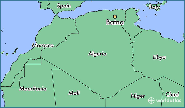
Batna is a city found in Batna, Algeria. It is located 35.56 latitude and 6.17 longitude and it is situated at elevation 1037 meters above sea level.
Batna has a population of 280,798 making it the biggest city in Batna. It operates on the CEST time zone.
Quick facts
| Country | Algeria |
| Province | Batna |
| Population | 280,798 |
| Elevation | 1,037 m over sea level |
| Time Zone | CEST |
| Longitude | 6.174140 |
| Latitude | 35.555970 |
This page was last updated on October 2, 2015.