Where is Algiers, Algeria?
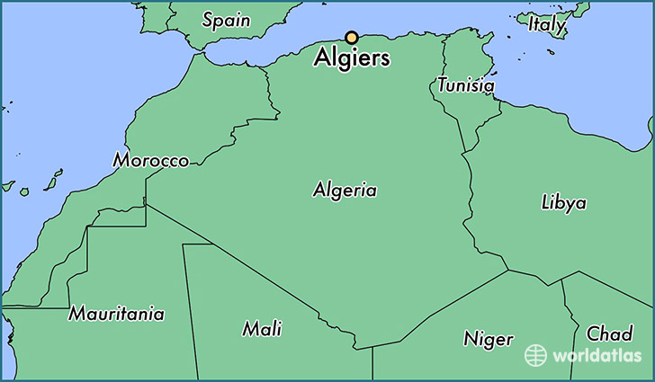
Algiers is a city found in Alger, Algeria. It is located 36.75 latitude and 3.04 longitude and it is situated at elevation 186 meters above sea level.
Algiers has a population of 1,977,663 making it the biggest city in Alger. It operates on the CEST time zone.
Quick facts
| Country | Algeria |
| Province | Alger |
| Population | 1,977,663 |
| Elevation | 186 m over sea level |
| Time Zone | CEST |
| Longitude | 3.041970 |
| Latitude | 36.752500 |
This page was last updated on October 2, 2015.