Gulf Of Fonseca
Gulfs are defined as a portion of the ocean that penetrates the land. Covering an area of about 1,800 km2, the Gulf of Fonseca is a portion of the Pacific Ocean located in Northern Central America. The Gulf of Fonseca is a shallow water body that is bordered by Honduras in the northeast, El Salvador in the northwest, and Nicaragua in the southeast.
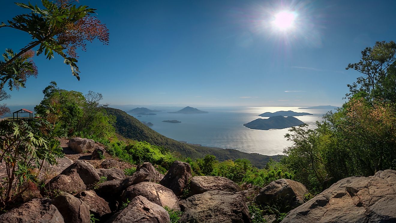
Important Geographical Features

The Gulf of Fonseca stretches inward from the Pacific Ocean for approximately 65 km and the gulf’s major part is shallow, which has an estimated average depth of about 15 m. The entrance of the gulf is marked by Cape Cosigüina in Nicaragua and by Cape Amapala in El Salvador. The gulf’s coastline extends for about 261 km, of which 185 km is in Honduras, 29 km in El Salvador, and 40 km in Nicaragua. The Gulf of Fonseca is situated in a typical subtropical climate zone with alternating rainy and dry seasons. During the rainy season from May to November, the gulf receives a high amount of rainfall (1,400-1,600 mm), which occurs in an unpredictable pattern in short and intense bursts.

The rivers that drain into the gulf include the Río Negro, the Estero Real River of Nicaragua, and the Choluteca River of Honduras. The Goascorán river, which forms the border between El Salvador and Honduras, also drains into the Gulf of Fonseca. The fringes of the gulf are indented by a series of winding lagoons and all of them are covered by mangrove swamps. The mangrove swamps are however absent in the western part of the gulf, where the Conchagua Volcano rises sharply from the shore.
The Gulf of Fonseca comprises a few volcanic islands. The significant islands that are found here include the Meacguera and Conchaquita islands in El Salvador and the Zacate Grande and El Tigre islands in Honduras.
Marine Life

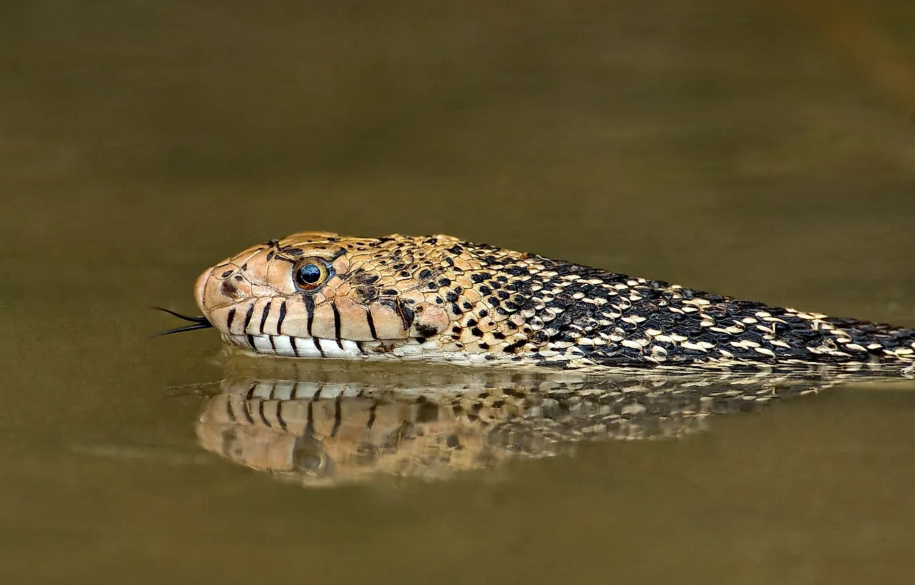
The common mangrove species that are found in the Gulf include the red mangrove (Rhizophora mangle), black mangrove (Avicennia germinans), white mangrove (Laguncularia racemosa), and botoncillo (Conocarpus erectus). These mangroves act as ideal feeding and breeding grounds for a large number of economically important fish, crustaceans, and mollusks, which also take shelter from predators in the complex web of mangrove roots.
During the rainy season, the lagoons provide shelter for a large number of migratory and native avian species. The notable seabirds that are found at the gulf’s entrance include the brown booby (Sula leucogaster) and the blue-footed booby (Sula nebouxii). The largest colony of Bridled Tern (Sterna anaethetus) is found in the islets of Los Farallones, which is situated at the entrance of the Gulf of Fonseca in Nicaragua.
Brief History

The Gulf of Fonseca was discovered by the Spanish explorer Gil González de Ávila in 1522. It was named by him in the honor of his patron, Archbishop Juan Fonseca.
All three countries with coastlines along the gulf, El Salvador, Honduras, and Nicaragua, have been involved in serious lengthy disputes over the rights of the Gulf and the islands that are located within it. In 1992, the International Court of Justice decided in a landmark judgement that all three countries would share the control rights over the gulf. The court also awarded the islands of Meanguerita and Meanguera to El Salvador and the El Tigre Island to Honduras.
The Gulf of Fonseca region provides a livelihood for several people who reside along the shores, by supporting traditional fisheries and shrimp farming and also supplying mangrove wood for construction activities. The important ports in the Gulf of Fonseca region include La Unión in El Salvador, San Lorenzo and Amapala in Honduras, and Puerto Morazán in Nicaragua.