Maps of New Zealand

New Zealand, an island country in the southwestern Pacific Ocean, has no bordering countries. It lies over 1,500 km east of Australia across the Tasman Sea, with the Pacific Ocean stretching indefinitely to the north, east, and south. The total land area of the country encompasses approximately 268,021 km2 (103,483 mi2).
The geography of New Zealand is primarily divided into two main islands, the North Island and the South Island, separated by the Cook Strait. A third, much smaller, Stewart Island lies to the south of the South Island.
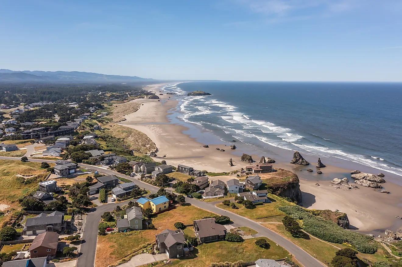
The North Island, known in Maori as Te Ika-a-Māui, features a significant central plateau, home to several active and dormant volcanoes, as part of the Pacific Ring of Fire. Notably, Mount Ruapehu, an active stratovolcano, stands as the highest point in the North Island at 2,797 meters (9,177 feet). The central plateau also includes Lake Taupo, the largest lake by surface area in New Zealand, formed through a volcanic eruption approximately 26,500 years ago. Surrounding the central plateau are lush, rolling hills, primarily used for farming and pasture. Moving further north in the North Island, there is a narrow peninsula called Northland. This region presents subtropical forests and a significant coastline dotted with both sandy beaches and rocky shores. At the tip of the peninsula lies Cape Reinga, an important site in Maori mythology.
The South Island, or Te Waipounamu in Maori, showcases a more mountainous terrain, with the Southern Alps extending almost its entire length. Aoraki/Mount Cook, New Zealand's highest peak at 3,724 meters (12,218 feet), dominates the Southern Alps, along with a series of other towering mountains. The west of the South Island features deep fjords, the most famous of which is Milford Sound. The area, part of the Fiordland National Park, presents one of the wettest climates in the country, resulting in dense rainforest. On the eastern side of the Southern Alps, there are wide plains and rolling downs. The Canterbury Plains, for example, extend from just inland of the east coast to the foothills of the Southern Alps. Further to the southeast, the Otago region presents more arid and hilly terrain, with a series of inland mountain ranges and river valleys.
Stewart Island, or Rakiura, is New Zealand's third-largest island. About 85% of the island falls within the boundaries of Rakiura National Park, preserving its largely untouched, densely forested terrain.
Bodies of Water: Among the major rivers in New Zealand, the Waikato River, running for approximately 425 kilometers (264 miles), holds the title for the longest. It flows through the North Island, from Lake Taupo to the Tasman Sea. On the South Island, the Clutha River, derived from Lake Wanaka, stands as the highest-volume river in the country.
Besides Lake Taupo, the caldera in the North Island, the South Island is home to several significant lakes which lie in the region known as the Southern Lakes. These include Lake Wakatipu, Lake Wanaka, and Lake Te Anau. All possess characteristics of deep, clear waters and scenic mountain backdrops. Lake Te Anau, the second-largest lake by surface area in New Zealand, provides an essential habitat for a variety of bird species and opens up into the Fiordland National Park.
New Zealand also hosts numerous smaller islands. To the north of the North Island, the Bay of Islands is an area consisting of about 144 islands, known for its undeveloped beaches and fishing grounds. In addition, the Chatham Islands, lying about 800 kilometers east of the South Island, consist of about ten islands within a 40-kilometer radius.
Political Map of New Zealand

New Zealand is primarily divided into 16 regions and 1 special territorial authority. In alphabetical order, the regions are: Auckland, Bay of Plenty, Canterbury, Gisborne, Hawke’s Bay, Manawatu-Wanganui, Marlborough, Nelson, Northland, Otago, Southland, Taranaki, Tasman, Waikato, Wellington, West Coast. Chatham Islands is a special territorial authority. New Zealand is secondarily divided into 15 cities and 58 districts collectively referred as the ‘territorial authorities.
Covering a total area of 268,021 sq.km, New Zealand consists of two main islands (North Island and South Island) and about 600 small islands. Located at the extreme southwestern point of North Island is, Wellington – the capital and the 2nd largest city of New Zealand. It is the world’s southernmost capital city and an important cultural, economic and commercial center of the country. Wellington harbor is an important port and functions as the country’s trading, transportation and communications hub. Auckland is the largest and the most populous city of New Zealand, located in the northern part of North Island. It is also the country’s commercial hub and the chief sea port.
Where is New Zealand?

New Zealand is an island country and one of the many islands that make up Oceania. It is located in the South Pacific Ocean to the southeast of Australia, south of New Caledonia, Fiji and Tonga Islands. New Zealand is geographically positioned both in the Southern and Eastern hemispheres of the Earth. The island country is completely surrounded by the Pacific Ocean. New Zealand shares maritime borders with Australia, Tonga, Fiji and the other island countries in Oceania.
Regional Maps: Map of Oceania
Outline Map of New Zealand

The above blank map represents New Zealand – an island country in the Southwestern Pacific Ocean. The above map can be downloaded, printed and used for geography education purposes like map-pointing and coloring activities.

The above outline map represents New Zealand – an island country in the Southwestern Pacific Ocean.
Key Facts
| Legal Name | New Zealand |
|---|---|
| Flag |
|
| Capital City | Wellington |
| 41 18 S, 174 47 E | |
| Total Area | 268,838.00 km2 |
| Land Area | 264,537.00 km2 |
| Water Area | 4,301.00 km2 |
| Population | 4,917,000 |
| Major Cities |
|
| Currency | New Zealand dollars (NZD) |
| GDP | $206.93 Billion |
| GDP Per Capita | $42,084.35 |
This page was last updated on January 8, 2024