Martinique
The island of Martinique is a French Overseas Territorial Collectivity located in the southeastern Caribbean Sea and forming a part of the volcanic arc of the Lesser Antilles group of islands. Martinique is one of the Windward Islands that is situated northwest of Barbados, south of the island of Dominica and north of Saint Lucia. The island is bounded by the North Atlantic Ocean in the east and the Caribbean Sea in the west. Martinique is separated from Dominica by the Dominica Channel (Martinique Passage).
Martinique experiences a tropical maritime climate with average temperatures around 26 °C. The climate is moderated by the northeast trade winds. There are two distinct seasons on the island, the dry season from December to June and the wet, monsoon season from July to December. The island is also vulnerable to devastating hurricanes.
Geography

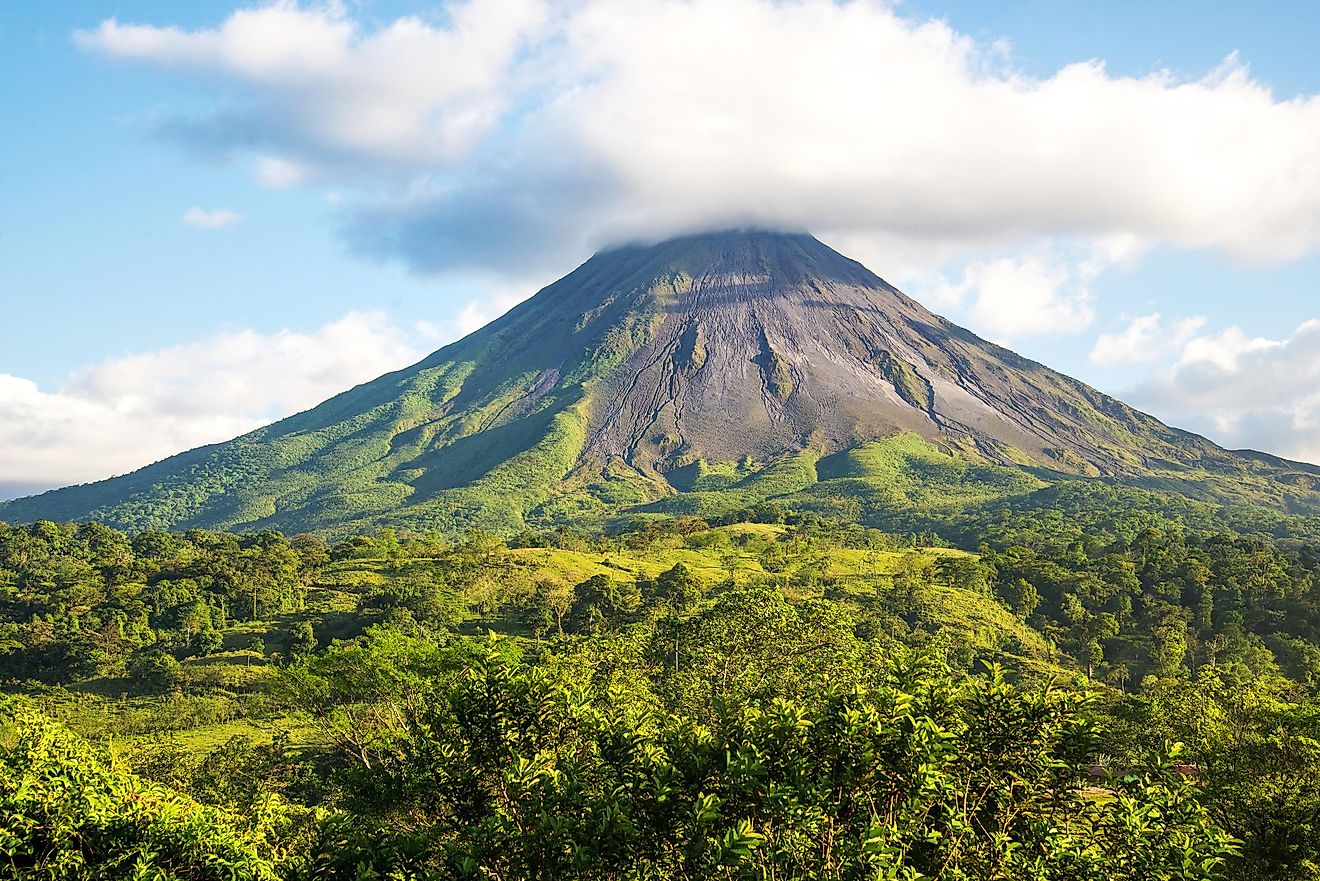
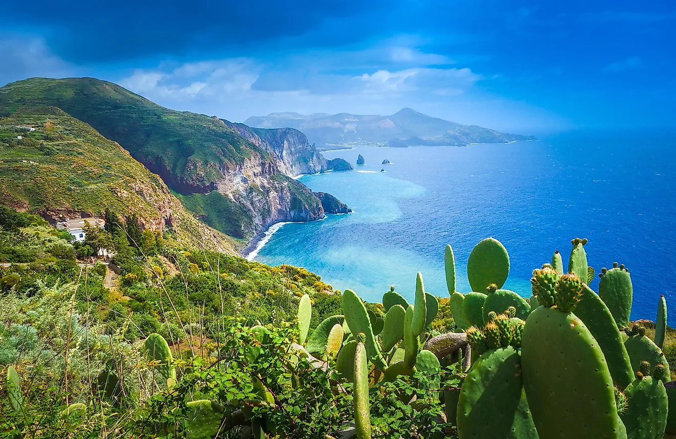
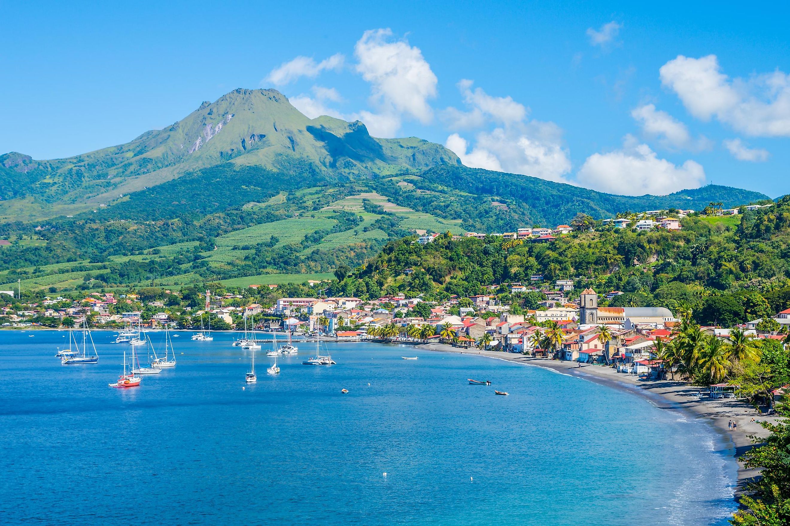
Covering a total area of 1,128 km2, Martinique is the Lesser Antilles’ third-largest island and one of the smallest French departments. The island measures about 70 km in length and has a maximum width of 30 km. This mountainous volcanic island features three large massifs, namely Mount Pelée in the north, Mount Vauclin in the south, and the Carbet Mountains (Pitons du Carbet) in the center of the island. Mount Pelée, an active volcano, rises to an elevation of 1,397 m and is the highest point on the island. This stratovolcano's 1902 eruption destroyed the town of Saint-Pierre, which served as the erstwhile cultural capital of the island. The northern part of the island also features high cliffs, dense rain forests, and black sand beaches.
There are numerous short rivers on the island. These include the Pilote and Salée rivers which flow downwards from the Vauclin Mountains. The rivers rising from the central Carbet Mountains include the Capot, Galion, Lézarde, and Lorrain Rivers. The Céron, Grande, Pères, Roxelane, and Sèche rivers are a few irregular torrential rivers that flow in the northern part of the island. The vast alluvial plain of Lamentin in the central part of the island serves as a transition zone between the island’s mountainous northern part and its hilly southern part.
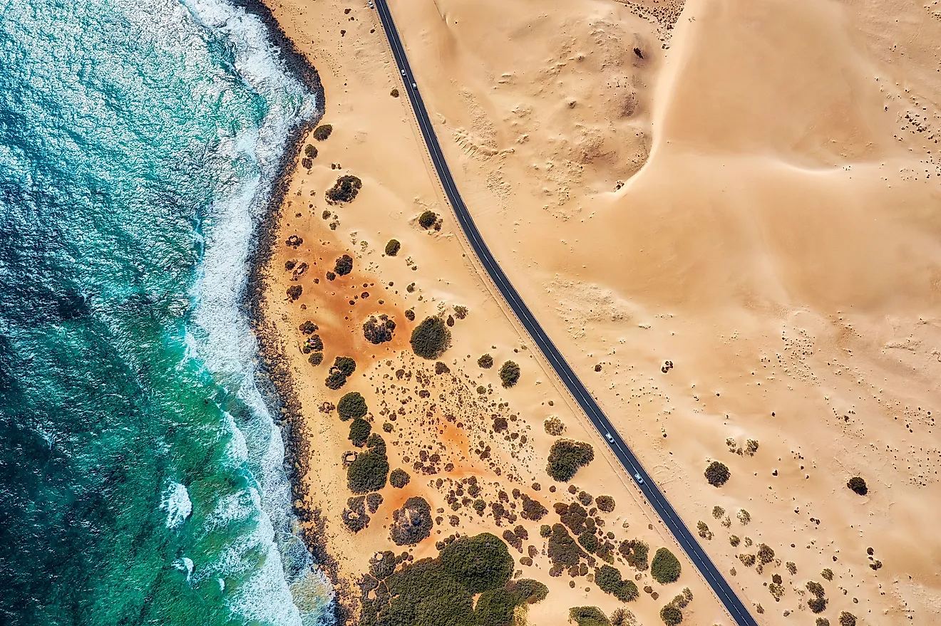
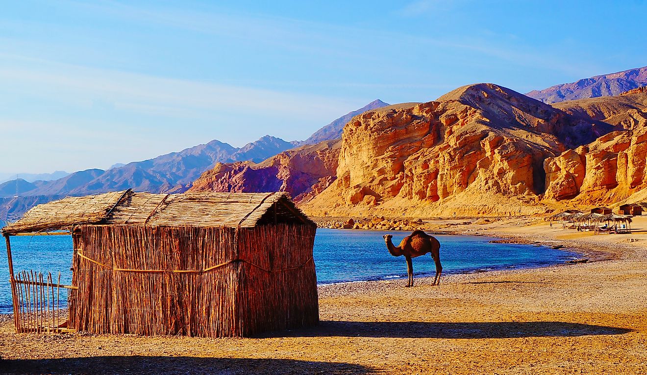
The island’s southern part is comparatively much flatter and drier with white sand beaches. The western coast of the island features two large bays, namely Marin and Fort-de-France. The eastern coast of the island is lined by several small bays, coastal cliffs, and shallow coral reefs. Some of the notable Martinique beaches are Anses d’Arlet, Cap macré, Grand Anse, Sainte-Anne, Sainte-Luce, Les Salines, and the Diamant beach. The Diamond Rock is a 175 m high uninhabited island that is located about 3 km from Pointe Diamant.
Wildlife

About one-fourth of Martinique is covered by forests. Dense rain forests are found in the northern part of the island featuring different species of trees like mahogany, rosewood, and bamboo. The dry southern part of the island is dominated by plants like acacia, cacti, Copaiba balsam, and logwood. Extensive mangrove swamps are also found along the large Fort-de-France Bay.
The native faunal species that are found here include locusts, Anole lizards, fer-de-lance snakes (Martinican pit viper), wild rabbits, and birds like grey tremblers, white-breasted thrashers (currently endangered), wild pigeons, ortolans, and turtledoves. The mongoose was introduced in the 19th century to control the Martinican pit viper snakes. Several chiropteran (bat) species are also found on the island including the Antillean fruit-eating bat, Jamaican fruit bat, greater bulldog bat, the Schwartz’s myotis, etc.
Brief History

Martinique was first settled by the Indigenous Arawak people from Central America in the first century CE. Around the 11th century, Carib people migrated to the island from Venezuela and almost completely exterminated the Arawaks. The Spanish briefly occupied the island after the famous explorer Christopher Columbus visited the island in 1502. In 1635, about 150 French settlers arrived on the island after being chased off of the island of St Kitts by the English. The French settlers killed many of the Caribs living there and eventually took control over the island.
In 1654, Dutch Jews introduced sugar plantations on the island and a large number of slaves were brought from Africa to work in these plantations. This major sugar-producing island was occupied by the British for brief periods during the 18th and the early 19th centuries. After the Napoleonic Wars, the island was traded back to France in 1815 and has remained a French possession since then. In 1848, through the signing of the Emancipation Proclamation Document, the French government abolished slavery in the French West Indies. Martinique was officially declared an Overseas Department of France in 1946. The economy of the island is highly dependent on tourism, the production of bananas and sugarcane, and financial aid from France.
The French island of Martinique is administratively divided into 34 communes and four arrondissements. Fort-de-France, La Trinité, Le Marin and Saint-Pierre are the island’s four arrondissements. Situated in the island’s western part at the northern opening of Fort-de-France Bay is the city of Fort-de-France, which serves as the capital of Martinique. With an area of 44.21 km2, it is also the island’s largest town, its principal seaport as well as its busiest commercial center.