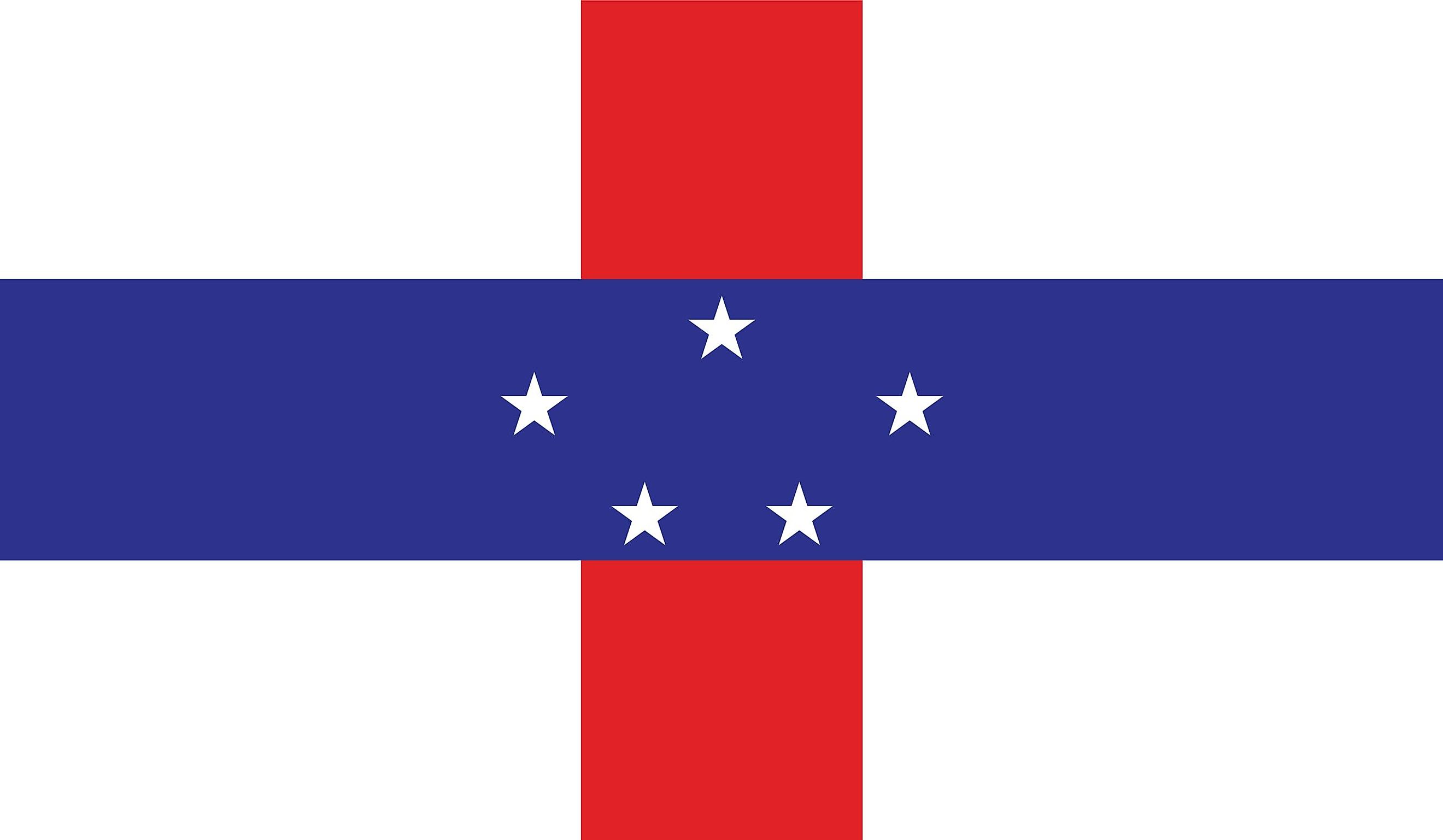
Netherlands Antilles
The Netherlands Antilles referred to a group of islands belonging to the Kingdom of The Netherlands that are geographically positioned in the Lesser Antilles region of the Caribbean Sea. The island group comprised two widely placed subgroups: the northern group, which is part of the Leeward Islands, and the western group, which is part of the Leeward Antilles.
Geography

The islands that are situated in the Leeward Antilles are Aruba, Bonaire, and Curaçao. These islands are collectively referred to as the ABC Islands and are located in the southern Caribbean Sea. The islands that are situated in the Leeward Islands are Saba, Sint Eustatius, and Sint Maarten. These islands are collectively referred to as the “SSS Islands” and are situated about 900 km to the northeast of the “ABC Islands.” The Netherland Antilles covered a total area of 987.7 km2.
Covering an area of 444 km2, Curaçao was the largest island of the Netherlands Antilles. Located on the southern coast of Curaçao is the town of Willemstad, which served as the administrative capital of the Netherlands Antilles until its dissolution in 2010. Mount Scenery, the potentially active stratovolcano on the island of Saba, rises to an elevation of 887m and is the highest point in the Netherlands Antilles and the Kingdom of Netherlands.
The area of the former Netherlands Antilles experiences a tropical climate with high temperatures throughout the year. However, the heat is moderated by the easterly trade winds which blow over the islands. The Leeward Islands often faces hurricanes during the summer season.
Brief History

The Italian explorer Christopher Columbus discovered the Windward Islands in 1493, while the Spanish explorer Alonso de Ojeda discovered the Leeward Islands in 1499. During the 17th century, the islands were conquered by the Dutch West India Company. During the Napoleonic Wars, the Dutch twice lost control over its West Indies colonies to the British. Under the Anglo-Dutch Treaty of 1814, the island colonies were returned to the Netherlands. From 1815 onwards, the islands were initially ruled as a part of the Dutch Colony of Curaçao and Dependencies. The island colonies of Curaçao, Aruba, and Bonaire were amalgamated into one colony that was ruled from Paramaribo, Suriname in 1828. However, this arrangement proved to be unsuccessful and was partially reverted in 1845.
In 1954, the various Dutch island colonies were united under a single country and were named “Netherland Antilles.” On December 15, 1954, with the proclamation of the “Charter for the Kingdom of Netherlands,” the Netherlands Antilles became an autonomous part of the Kingdom of Netherlands. Among the islands of the Netherland Antilles, Aruba seceded in 1986 and became a constituent country under the Kingdom of the Netherlands.
In 2006, the Dutch government along with the people of the constituent island colonies agreed to dissolve the Netherlands Antilles. On October 10, 2010, with the dissolution of the Netherlands Antilles, Curaçao and Sint Maarten became constituent countries while the islands of Sint Eustatius, Saba, and Bonaire (“BES Islands”) were given the status of special municipalities by the Government of Netherlands.