Maps of Sri Lanka

Sri Lanka, an island nation in South Asia, lies to the south of the Indian subcontinent, separated by the narrow Palk Strait. It shares maritime borders with the Maldives to the southwest and India to the northwest. Ultimately, the country spans a total area of about 65,610 km2 (25,332 mi2).
The geography of Sri Lanka primarily consists of three regions: the Central Highlands, the Plains, and the Coastal Belt.
The Central Highlands of Sri Lanka constitute the heart of the country, with elevation points reaching beyond 2,500 meters above sea level. The country's highest point, Pidurutalagala, which stands at approximately 2,524 m (8,281 ft), is found in these highlands. This region houses extensive montane forests and grasslands.
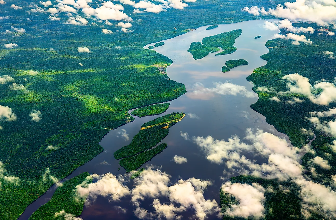
The Plains: Following the Central Highlands are the Plains, gently sloping downwards towards the sea. The Plains region is where a large proportion of the population resides, as the terrain is favorable for agriculture, particularly for paddy cultivation and other crops. The Plains also encompass some of Sri Lanka's major cities, including the commercial capital, Colombo. This region is irrigated by a network of rivers flowing from the highlands, creating fertile soil suitable for agriculture. The plains exhibit a wide variety of ecosystems, including forests, grasslands, and wetlands, because the climate is generally tropical and warm, with moderate rain.
The Coastal Belt: Finally, the Coastal Belt surrounds the island, characterized by sandy beaches, lagoons, and mangrove habitats. The coastal belt's width varies across the country, with the western and southwestern parts having the widest areas. The country's longest river, the Mahaweli Ganga, also meets the Indian Ocean in the coastal belt.
Rivers: Sri Lanka has an extensive network of rivers that course through the island, draining into the Indian Ocean. The Mahaweli Ganga, the longest river, travels a course of about 335 kilometers (208 miles), supporting agriculture through a series of large scale irrigation schemes. Other significant rivers include the Kelani Ganga, Aruvi Aru, and the Kalu Ganga.
Islands: Besides the mainland, Sri Lanka includes several islands, such as Mannar Island above the Gulf of Mannar, connected to the mainland by a causeway, and the Jaffna Islands, a group of islands off the northern tip of the island.
Provinces of Sri Lanka Map

Sri Lanka (officially, the Democratic Socialist Republic of Sri Lanka) is divided into 9 administrative provinces. In alphabetical order, these provinces are: Central, Eastern, North Central, Northern, North Western, Sabaragamuwa, Southern, Uva and Western. These provinces are further subdivided into 25 districts and other smaller subdivisions.
Sri Lanka is one of the Asian countries with two capitals. The satellite city of Sri Jayawardenepura Kotte is the administrative capital and seat of the National Legislature of Sri Lanka. While the capital city of Colombo – is the chief economic and commercial center of Sri Lanka and the greater South Asia. Located in the south western part of the country, Colombo is a port city and one of the largest man-made harbors in the world. With a combined population of over 8 lakhs, the two capitals of Sri Lanka represent the two largest urban areas of the country.
Where is Sri Lanka?

Sri Lanka is an island country in Southern Asia. It is situated both in the Northern and Eastern hemispheres of the Earth. Sri Lanka is located in the Indian Ocean, to the south west of Bay of Bengal and to the south east of the Arabian Sea. It is separated from the peninsular Indian subcontinent by the Gulf of Mannar and the Palk Strait. Sri Lanka shares its maritime borders with India and Maldives.
Regional Maps: Map of Asia
Outline Map of Sri Lanka

The outline map represents Sri Lanka, an island nation in South Asia. The map may be downloaded, printed, and used for educational purpose like map-pointing activities or for coloring.

The outline map represents the South Asian island country of Sri Lanka. Due to its typical shape and location to the south of India, the country is often called the "tear drop of India."
Key Facts
| Legal Name | Democratic Socialist Republic of Sri Lanka |
|---|---|
| Flag |
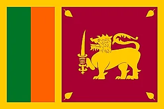
|
| Capital City | Colombo (commercial capital); Sri Jayewardenepura Kotte (legislative capital) |
| 6 55 N, 79 50 E | |
| Total Area | 65,610.00 km2 |
| Land Area | 64,630.00 km2 |
| Water Area | 980.00 km2 |
| Population | 21,803,000 |
| Largest City |
Colombo (632,543) |
| Currency | Sri Lankan rupees (LKR) |
| GDP | $84.01 Billion |
| GDP Per Capita | $3,853.08 |
This page was last updated on August 2, 2023