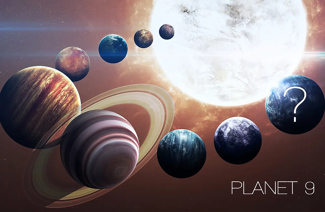
The Farthest Picture Of Earth
Humanity has only had the ability to photograph the entire Earth from space since the late 1950s. Before then, no one had seen the Earth from space. Seeing our world from such a vantage point has been one of the largest changes in perspective that humanity has ever experienced. Against the void of space, the Earth appears as a fragile oasis, housing all known forms of life. The further away we see the Earth, the more fragile it appears. What are the farthest images ever taken of our home world?
First Images Of The Earth

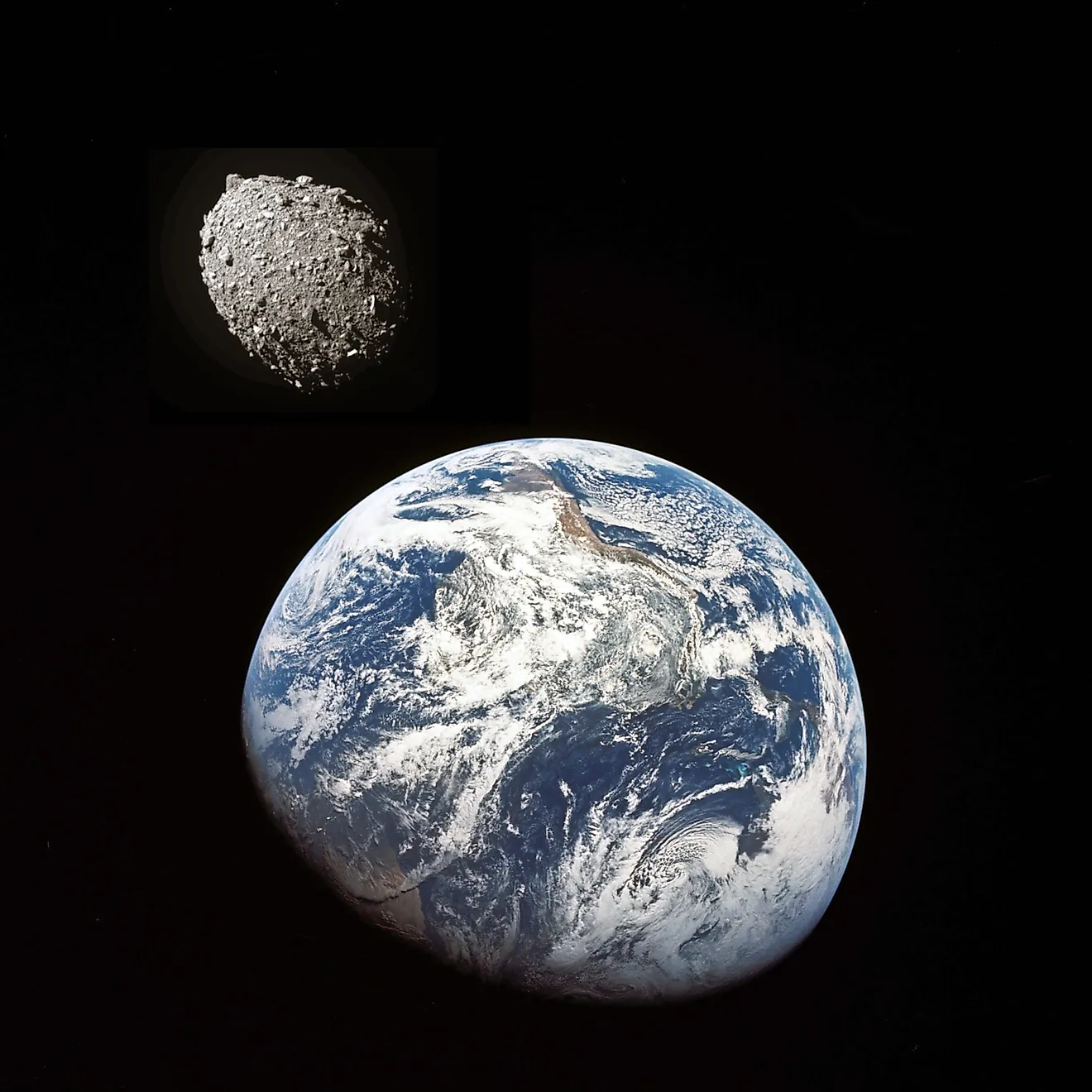
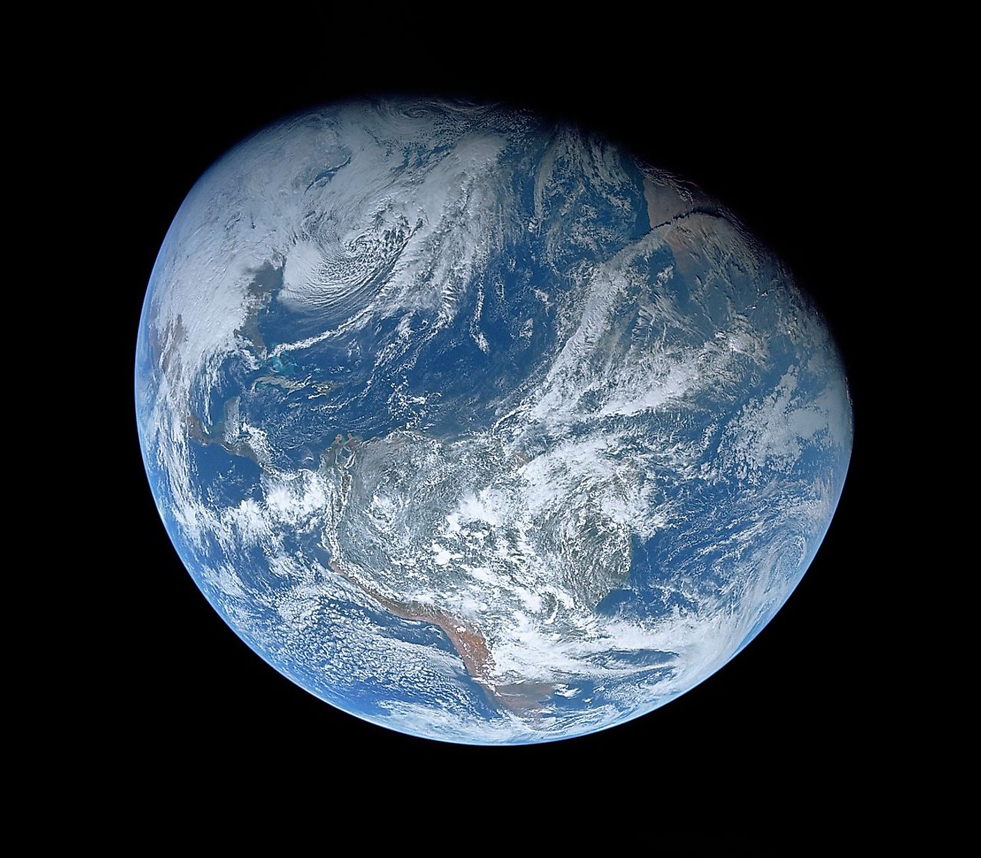
The first image of the Earth taken from orbit was in 1959. The satellite that took the images was called Explorer 6, and it became the first satellite to take images of the Earth. When Explorer 6 took its first images of Earth, it was 17,000 miles (27,000 kilometres) above the Earth’s surface. Until that point, no one had seen the Earth from such a distance, yet that record would soon be broken as the Space Race began. In 1966, NASA launched its first lunar orbiter, called Lunar Orbiter 1. It became the first satellite launched by the United States to orbit the moon, and it also took the first images of the Earth from the moon at a distance of 239,000 miles (384,000 kilometres). Two years later, in 1968, the astronauts of Apollo 8 became the first humans to photograph the Earth from the moon. One year after that, the astronauts of Apollo 11 became the first humans to photograph the Earth from the surface of the moon. The lunar surface is the farthest distance that humans have physically taken pictures of the Earth, yet robotic spacecraft have far exceeded that distance.
The Pale Blue Dot Image

In 1977, NASA launched the Voyager 1 and Voyager 2 spacecraft. NASA took advantage of a rare planetary alignment that saw all of the outer gas giants lineup together. This meant that a spacecraft could visit each of the four planets, while also using the gravitational pull of each planet to slingshot itself to a higher velocity. Both Voyagers visited Jupiter and Saturn, while Voyager 2 went on to visit Uranus and Neptune afterwards. While Voyager 1 continued towards the outer regions of the solar system, astronomers realized they had an amazing opportunity. In 1990, while Voyager 1 was at a distance of 3.7 billion miles (6 billion kilometres), astronomers decided to turn the spacecraft's cameras towards the solar system and snap a picture of every planet. At such a vast distance, Voyager 1 was able to see every planet in the solar system, all of which appeared as distant points of light. Combining every image produced a mosaic of the entire solar system that became known as the Family Portrait. However, perhaps the most significant image taken by Voyager 1 was of the Earth. Voyager 1 took an image of the entire Earth from a distance of 3.7 billion miles, making it the farthest image ever taken of our planet. The image was called the Pale Blue Dot. At this vantage point, the Earth appears as small as a speck of dust, caught within a sunbeam.