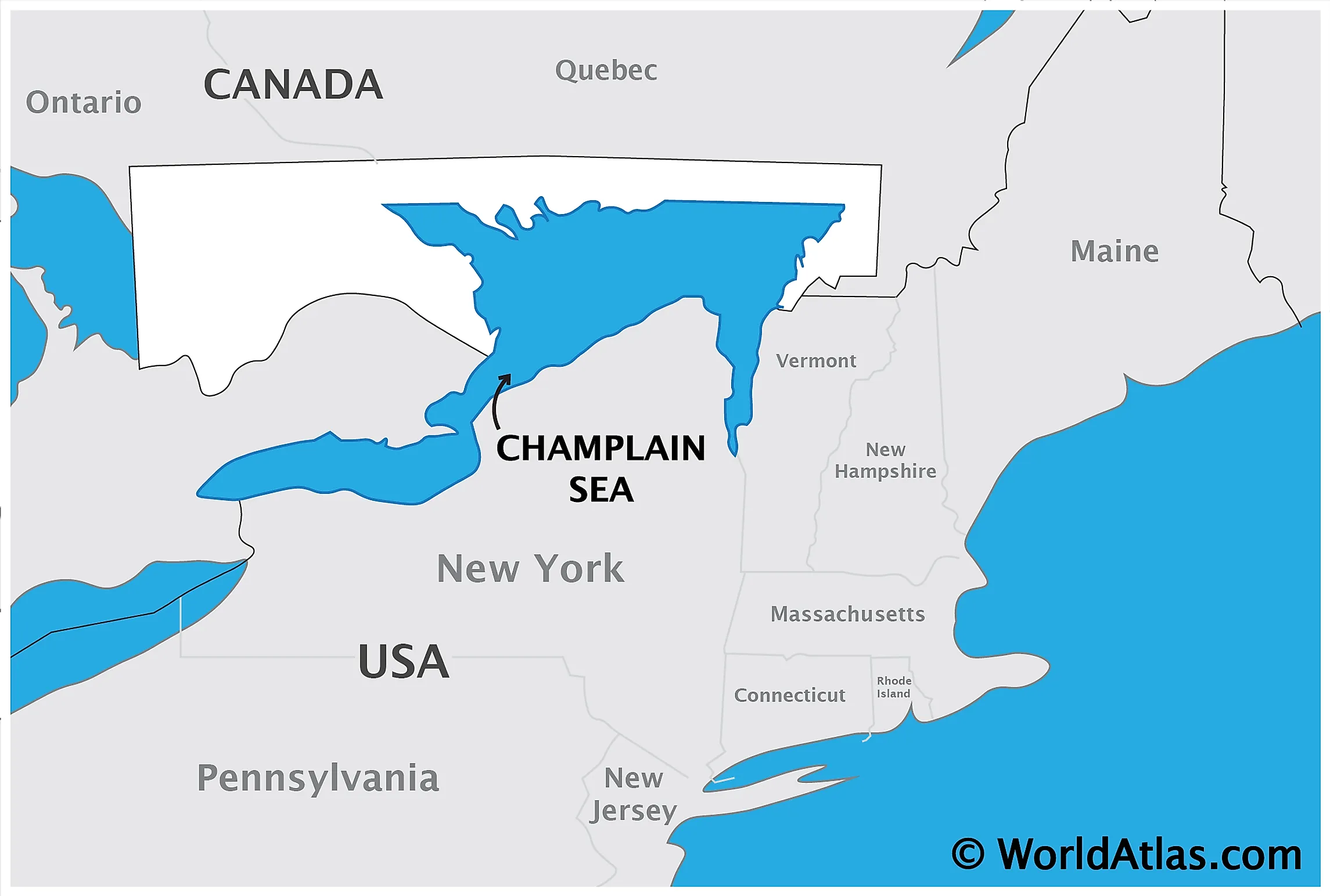
Champlain Sea
Created by retreating ice sheets during the end of the last Ice Age, the Champlain Sea was an inlet of the Atlantic Ocean into North America. This inlet included large land areas in the modern Canadian provinces of Ontario and Quebec and the states of Vermont and New York. It was named after Samuel De Champlain, a prominent French explorer who founded the colony of New France and Quebec City in 1608.

Geological History
A body of saline to brackish waters with an area of some 55,000 sq. km, the Champlain Sea filled the land of the St. Lawrence Lowland in between Brockville, Ontario, and Quebec City. During the last Ice Age, the Sea extended up to the Ottawa River Valley. Although the Champlain Sea was initially very cold, archeological studies of its fossilized fauna indicate that its temperature rose significantly over time. At its maximum depth, the Sea was around 200m, with 10 to 30 parts per thousand salinity values. After the temperature warmed up, the average warmth of the Champlain Sea was between -1 to 8°C. Champlain Sea lasted approximately 2000 years before the water became too fresh to sustain marine organisms. The Sea extended just west of Ottawa and south of Lake Champlain at its peak. Some estimates claim that the Champlain Sea was around 150m above the levels of today’s Ottawa River and St. Lawrence River.
Today the ancient shorelines of the Champlain Sea are over 200m above sea level. The Leda Marine Clays, the most abundant sediments deposited by the sea, are mostly rock formed from glacial abrasion. These are classified as sensitive soils because the incorporated sea salt has left voids, causing the sediment to hold more water than its normal limit. Because of this, when disturbed by rainfall, heavy traffic, and snowmelt, these clay sediments become fluid, and landslides occur. Throughout the centuries, these landslides have caused varying degrees of damage and loss of life, including in the town of Nicolet, Quebec, in 1955.
Geological evidence of the Champlain Sea was discovered by examining the vast clay deposits along St. Lawrence and Ottawa Rivers. Several unique fossils were also eventually found in these clay beds. These included the fossils of Beluga whales, Fin Whales, Bowhead Whales, and a great abundance of marine shells around the areas of Ottawa and Montreal. Several ancient, raised shorelines were also discovered, in addition to the aforementioned Leda Marine Clays. These marine clays are considered amongst the best agricultural land in the province of Quebec.


