Where is Villa de Cura, Venezuela?
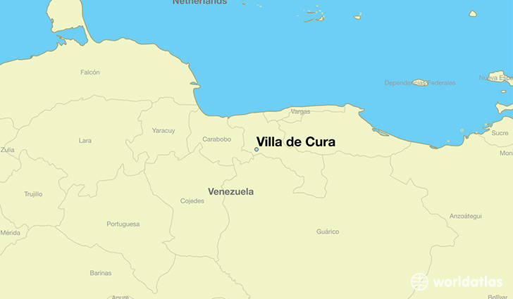
Villa de Cura is a city found in Aragua, Venezuela. It is located 10.04 latitude and -67.49 longitude and it is situated at elevation 523 meters above sea level.
Villa de Cura has a population of 76,614 making it the 7th biggest city in Aragua. It operates on the CMT time zone, which means that it follows the same time zone as Maracay.
Quick facts
| Country | Venezuela |
| State | Aragua |
| Population | 76,614 |
| Elevation | 523 m over sea level |
| Time Zone | CMT |
| Longitude | -67.489380 |
| Latitude | 10.038630 |
This page was last updated on October 2, 2015.