Where is San Andres, Colombia?
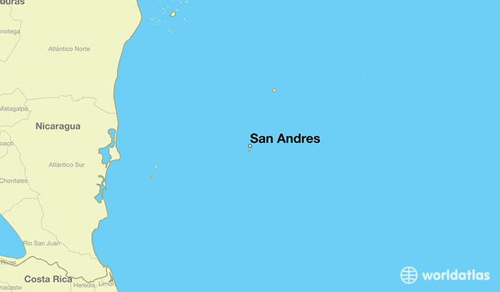
San Andres is a city found in Archipielago de San Andres, Providencia y Santa Ca, Colombia. It is located 12.58 latitude and -81.70 longitude and it is situated at elevation 3 meters above sea level.
San Andres has a population of 58,257 making it the biggest city in Archipielago de San Andres, Providencia y Santa Ca. It operates on the BMT time zone.
Quick facts
| Country | Colombia |
| Province | Archipielago de San Andres, Providencia y Santa Ca |
| Population | 58,257 |
| Elevation | 3 m over sea level |
| Time Zone | BMT |
| Longitude | -81.700560 |
| Latitude | 12.584720 |
This page was last updated on October 2, 2015.