Where is Cali, Colombia?
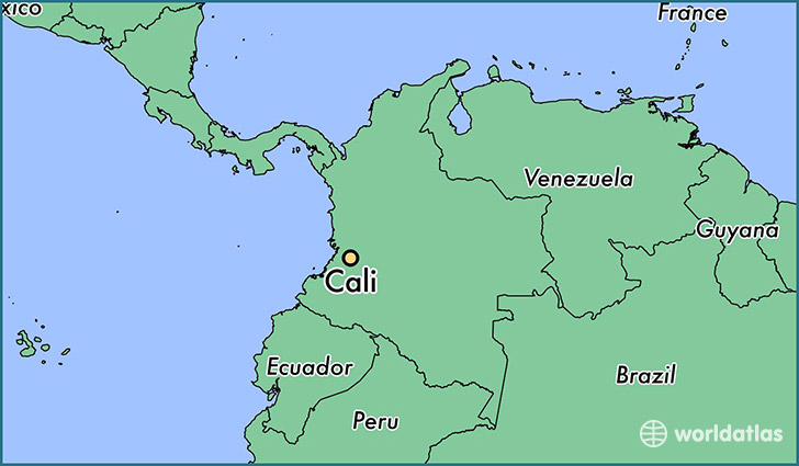
Cali is a city found in Valle del Cauca, Colombia. It is located 3.44 latitude and -76.52 longitude and it is situated at elevation 967 meters above sea level.
Cali has a population of 2,392,877 making it the biggest city in Valle del Cauca. It operates on the BMT time zone.
Quick facts
| Country | Colombia |
| Province | Valle del Cauca |
| Population | 2,392,877 |
| Elevation | 967 m over sea level |
| Time Zone | BMT |
| Longitude | -76.522500 |
| Latitude | 3.437220 |
This page was last updated on October 2, 2015.