Where is Rafaela, Argentina?
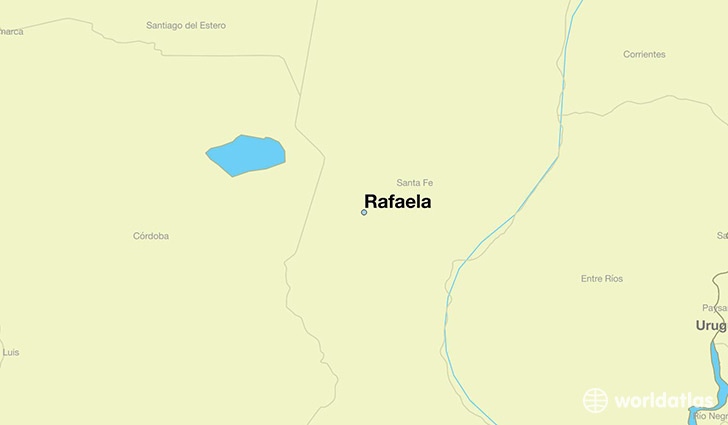
Rafaela is a city found in Santa Fe, Argentina. It is located -31.25 latitude and -61.49 longitude and it is situated at elevation 103 meters above sea level.
Rafaela has a population of 88,713 making it the 4th biggest city in Santa Fe. It operates on the ARST time zone, which means that it follows the same time zone as Rosario.
Quick facts
| Country | Argentina |
| District | Santa Fe |
| Population | 88,713 |
| Elevation | 103 m over sea level |
| Time Zone | ARST |
| Longitude | -61.486700 |
| Latitude | -31.250330 |
This page was last updated on October 2, 2015.