Okavango River
The Okavango River is the 4th longest river system in Southern Africa and the 9th longest in Africa. It flows for about 1,600 kilometers from its source in the highlands of Angola to the Okavango Delta in Botswana. This transboundary river is known as Rio Cubango in Angola and derives its name from the Kavango people of Namibia. Scottish explorer and missionary David Livingston was the first European to discover the Okavango River and reached the delta in 1849. The river drains three countries, Angola, Namibia, and Botswana, and is one of the few rivers whose waters do not enter an ocean or sea. The swampy inland delta is a UNESCO World Heritage Site and one of Africa’s Seven Natural Wonders.

Major Features
The Okavango River is Africa’s 9th longest river system, flowing southeastwards for about 1,600 kilometers between central Angola and northern Botswana. This river does not flow into a sea. Instead, it forms a swampy delta at its mouth in the Kalahari Desert known as the Okavango Delta. Okavango flows parallel to the Cuito River (its largest tributary) and the two rivers confluence at Dirico on the Angola-Namibia border. It discharges an average of 475 cubic meters of water per second and drains an area of approximately 530,000 square kilometers in Angola, Namibia, and Botswana.
River Course

The Okavango River rises at an elevation of 1,300 meters above sea level in the Bie Plateau in central Angola, where it flows as Cubango River. Then it flows southwards to Mumba, where Cutato River joins on the left bank. From the Mumba gauging station, the river begins to flow southeastwards and is joined by two tributaries, Cuchi and Cuetei, just above Caiundu gauging station. It continuous southeastwards towards Namibia and receives Cuatir River from the left. The Cubango River then forms part of the Angola-Namibia border and is joined by the Kwito River, its largest tributary, at Dirico to form the larger Okavango River. The river enters Namibia briefly and crosses the Caprivi Stripe into Botswana. Okavango begins to widen up as soon as it crosses into Botswana. About 117 kilometers into the country, it spreads out to form the swampy Okavango Delta. The river transports over 25 million kilograms of suspended sediments into the delta annually.
Okavango Delta

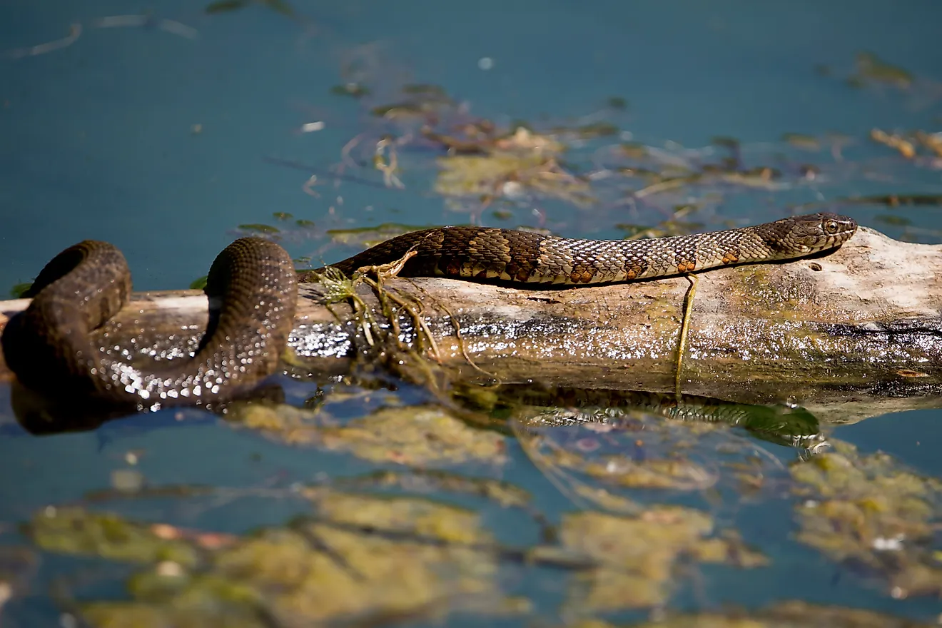
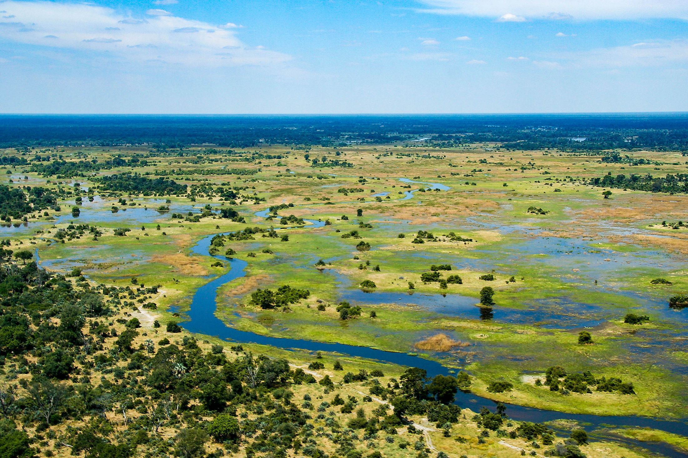
The Okavango Delta is a swampy delta in the Kalahari Desert in northern Botswana. The delta forms when the Okavango River reaches an endorheic basin, located at an altitude of 930-1,000 meters, and its size fluctuates between 6,000 and 15,000 square kilometers. The Okavango River pours about 11 cubic kilometers of water into the delta annually, with all the water lost through transpiration and evaporation. Between June and August, the delta swells about three times its normal size. The flooded delta attracts numerous animals, creating one of Africa’s greatest wildlife concentrations.

Water Conflict
Okavango is an important river for the two riparian countries (Botswana and Namibia). However, the river’s use is a source of possible conflict between the two countries. Namibia, which has already constructed a 300-km-long water canal, plans to divert part of the river flow to resolve its drought crisis. But, Botswana, which depends on the Okavango for water and tourism income, insists it will be costly for the country to lose any extra water from the delta since the river already loses 97% of its water to evaporation. In 1994, Botswana, Namibia, and Angola established a commission to advise on the best way to share the river and its resources.