Hawkesbury River
Also referred to as the Hawkesbury-Nepean River, the Hawkesbury River is the longest coastal river in New South Wales, Australia, flowing for approximately 120 kilometers from the city of Penrith to Broken Bay. Historically, the Hawkesbury River basin was home to the Aboriginal people and a critical water source for the survival of European settlers in Sydney. The river and its tributaries flow around the Sydney metropolitan region. It is surrounded by several national parks, including Ku-ring-gai Chase National Park, Australia’s third oldest national park. The Hawkesbury River was named after Baron Hawkesbury, who later became the 2nd Earl of Liverpool.
Overview of the River

The Hawkesbury River is one of the several rivers whose headwaters are in the Great Dividing Range in eastern Australia. The river begins at the confluence of the Grose and Nepean Rivers in the city of Penrith, and then flows for about 120 kilometers to the Tasman Sea at Broken Bay, that is situated about 50 kilometers north of Sydney. The Hawkesbury River discharges an average of 95 cubic meters of water per second and a maximum of 15,000 cubic meters of water per second at its mouth. The river drains about 21,624 square kilometers and almost encircle the New South Wales' capital Sydney, with its catchment area including towns like Windsor, Penrith, and Camden. Its islands include Barr, Dangar, Lion, Long, Milson, Peat, Snake, and Spectacle Islands.
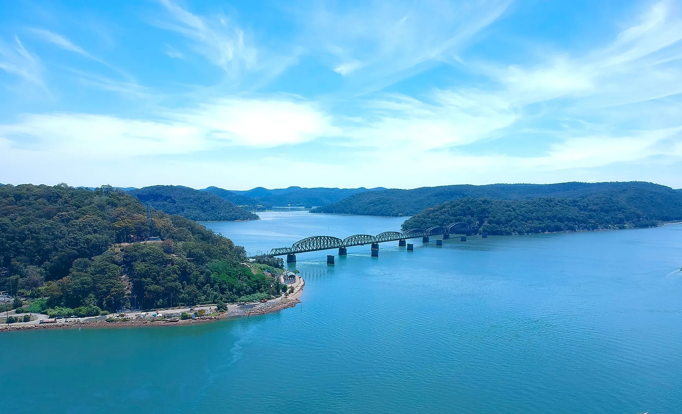
Course

The Hawkesbury River begins in the city of Penrith at the confluence of Grose and Nepean Rivers. The Nepean River rises in the Mittagong Range close to the village of Robertson, that is located approximately 15 kilometers from the sea. It rises in the form of three streams, Cordeaux, Cataract, and Avon Rivers, which flow northwest from the sea and combine to form the Nepean River. The Nepean flows northwards from the confluence of the three streams and receives the Warragamba River near Penrith before joining the Grose River further north. The Grose River begins from Mount Victoria, located in the Blue Mountains National Park, and flows northwards past the Grose Valley, and then in southeast and eastwards before joining the Hawkesbury River.

Once it receives the Grose River, the Hawkesbury River flows northwards through Richmond and Windsor. It receives the South Creek at Windsor, and then continues its northward flow through a more rural region. It flows through the suburb of Sackville and then receives the Colo River in Lower Portland. The river continues its northward journey to Wiseman Ferry, where it receives the Macdonald River. The river then turns east to Spencer, where the Mangrove Creek joins it. At Milson Passage, the Berowra Creek joins the Hawkesbury River from the south. The river finally drains into the Tasman Sea at the Broken Bay.
Brief History

The Hawkesbury River is one of the least studied rivers in New South Wales, with very little known about its formation, influence on human settlement patterns, and ecological functions. Several Aboriginal people, including Darug, Darkinjung, Kurringgai, and Eora, lived along the river banks before the European arrival. The native tribes called the river Deerubbun or Dyarubbin. The river was first explored in 1789 by two explorers who realized that they had discovered the same river system after three years. Philip Arthur, the first Governor of NSW, renamed the river “Hawkesbury” in 1789 after Baron Hawkesbury.
The Hawkesbury River region was the site for the Hawkesbury and Nepean Wars, a series of conflicts between the British forces and the indigenous tribes living in the Hawkesbury River region. The conflicts began in 1794 and lasted 12 years, ending with the defeat of the Indigenous clans who were disposed of their land. The river was an important transportation route between Sydney and the surrounding area, especially for farm produce.
Economic Significance

The river is navigable for about 100 kilometers from Windsor to its mouth at the Broken Bay. Although rail and road are now the preferred mode of transporting the farm produce, the Hawkesbury River offers access to some remote areas and communities in New South Wales, especially between Brooklyn and Spencer. It also supports sporting activities, including the Hawkesbury Canoe Classic held every October or November. The 111-kilometer canoe race begins at Winsor and ends at Brooklyn. A water ski race, known as Bridge to Bridge Water Ski Classic, also takes place between the two towns, but in opposite directions. The river also supports commercial coastal fisheries, generating about $6 million annually from oysters and prawns.


