Dnipro River
Eastern Europe's Dnipro River begins in Russia, flows through a significant portion of Belarus, and then bisects Ukraine on its way to the Black Sea. It is the longest river in Ukraine and the fourth longest on the continent. Dnipro is the Ukrainian designation, whereas it is commonly referred to as the Dnieper River, as well as Dnepr in Russian and Dynapro in Belarusian. The Dnipro is a predominantly navigable waterway, an abundant source of hydroelectric energy, and a distributable resource for agricultural and industrial purposes. Consequently, it experiences problems with pollution, and the anthropogenic manipulations of the river's flow patterns have inadvertently impacted the surrounding ecosystems. Recently, strategic locations along the Dnipro River have seen violent attacks in the ongoing conflict between Ukraine and the invading Russian forces.
Geography Of The Dnipro River

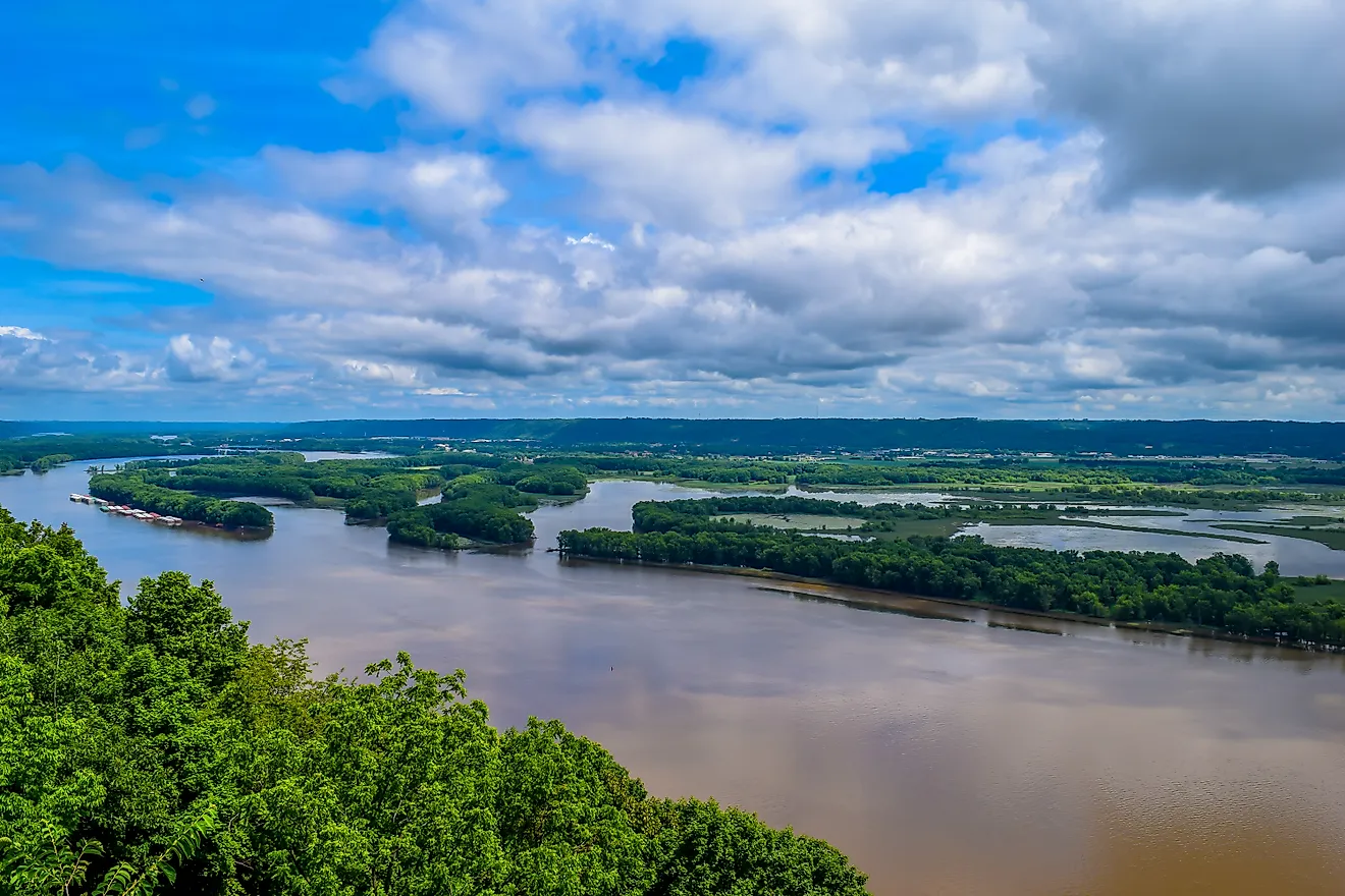
The Dnipro is born in the bogs of the Valdai Hills of Western Russia, near the city of Smolensk (240 kilometers/150 miles West of Moscow), at an elevation of approximately 220 meters (720 feet). The roughly 2,200-kilometer (1,367 miles) river flows in a predominantly Southern direction, passing through 480 kilometers (300 miles) of Russia's Smolensk Oblast, 600 kilometers (370 miles) of Eastern Belarus, before cutting through the central part of Ukraine, for approximately 1,095 kilometers (680 miles) and emptying into the Northwestern Black Sea, specifically, the Dniprovska Gulf, via the Dnipro Liman (a swampy delta) near the port city of Kherson, in the Kherson Oblast. The Dnipro is a generally slow-moving plains river that drains an area of around 505,000 square kilometers (195,000 square miles). For 115 kilometers (71 miles) it defines the border between Northern Ukraine and Southeastern Belarus. From its origin to the Ukrainian city of Kyiv, the river is categorized as the Upper Dnipro; the Middle Dnipro goes from Kyiv to Zaporizhzhia, and the Lower Dnipro refers to the final portion from Zaporizhzhia to the mouth at the Black Sea.
Climate Of The Dnipro River Basin

As one would suspect, the climate of the Dnipro basin fluctuates not only based on season but the exact region in question. But generally speaking, the river's area of influence experiences milder, damper conditions compared to similar latitudes in the three nations it passes through. The average annual air temperature in the upper portion is 5 degrees Celsius (41 Fahrenheit), 7 C (45 F) in the middle, and 10 C (50 F) in the lower section. The Northeastern reaches face long, tough winters, with annual precipitation of about 760-810 millimeters (30-32 inches), whereas the lower stretch gets shorter, milder winters and an annual precipitation level of about 460 millimeters (18 inches). The river is fed by a combination of snowmelt, groundwater, and rain, and the seasonal fluctuations, therefore, determine the flow rate. The peak flow rate can be expected at Kyiv right after the spring thaw and hits about 7,000 cubic meters/second (247,203 feet per second), compared to the average of 1,380 cu m/sec (48,734 cu f/sec).
Ecology Of The Dnipro River

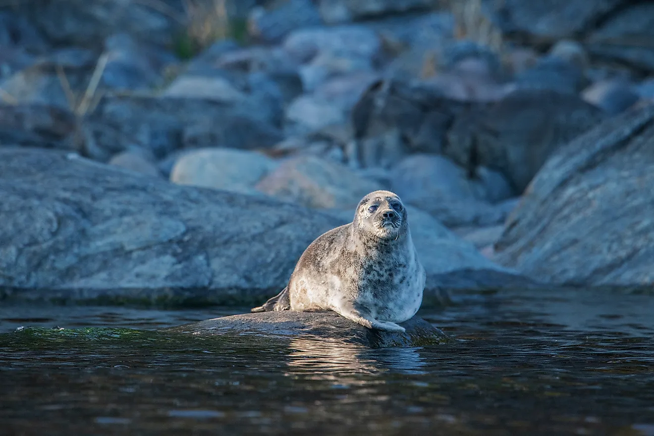
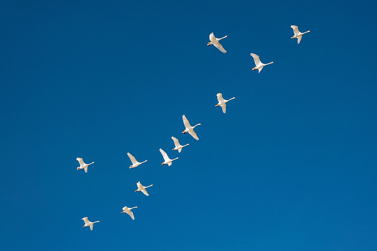
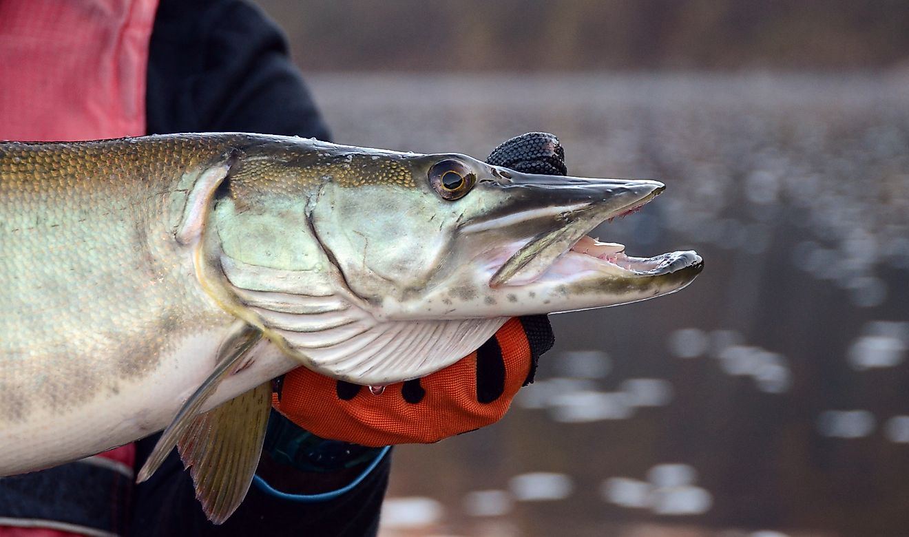
Over 60 species of fish live in the Dnipro River. Notable commercial catches include catfish, goldfish, perch, pike, chub, pike, rudd, rapfen, tench, barbel, alburnum, golden shiner, carp, burbot, and ruff. Springtime in the lower reaches of the Dnipro welcomes migratory fish, including sturgeon, herring, roach, and more. The reservoirs are also artificially stocked with such species as whitefish, pike perch, and, once again, golden shiner and carp. The upper part of the river is home to a healthy supply of plankton, but the populations greatly peter out towards the Southern sections. Unfortunately, persistent runoff from industrial, agricultural, and other urban contaminants has created issues around pollution. Furthermore, manipulating the river's natural course, combined with evaporation from the hydroelectric reservoirs, has damaged the wetlands around the river's estuary.
History And Economy Of The Dnipro River

The first known reference to the Dnipro River came from the fifth-century (BCE) Greek historian Herodotus. At that time, it was known as the Borysthenes, and its lower portion was used to bridge the gap between the Baltic Sea and the ancient city of Byzantium (via the Black Sea) – a journey known as the Varagian route. Over the centuries, regional conflicts and political fluctuations altered the river's navigability, which has long been of strategic value.
In the 19th and 20th centuries, the Dnipro saw much activity from the Russian Empire. Projects were undertaken to create a continuous route to transport supplies, such as timber, grain, coal, ore, and other mineral building materials. In addition, several major hydroelectric dams were built, such as the Dnieper Hydroelectric Station at Zaporizhzhia (completed in 1932 and rebuild/expanded in 1948 after the German army destroyed it), as well as stations at Kakhovka (1956), Kremenchuk (1960), Kamianske (1964), Kyiv (1964), and Kaniv (1975), each with a corresponding reservoir that improved the ability to navigate the river and manage the water supplies, albeit at some environmental costs that have since been realized.

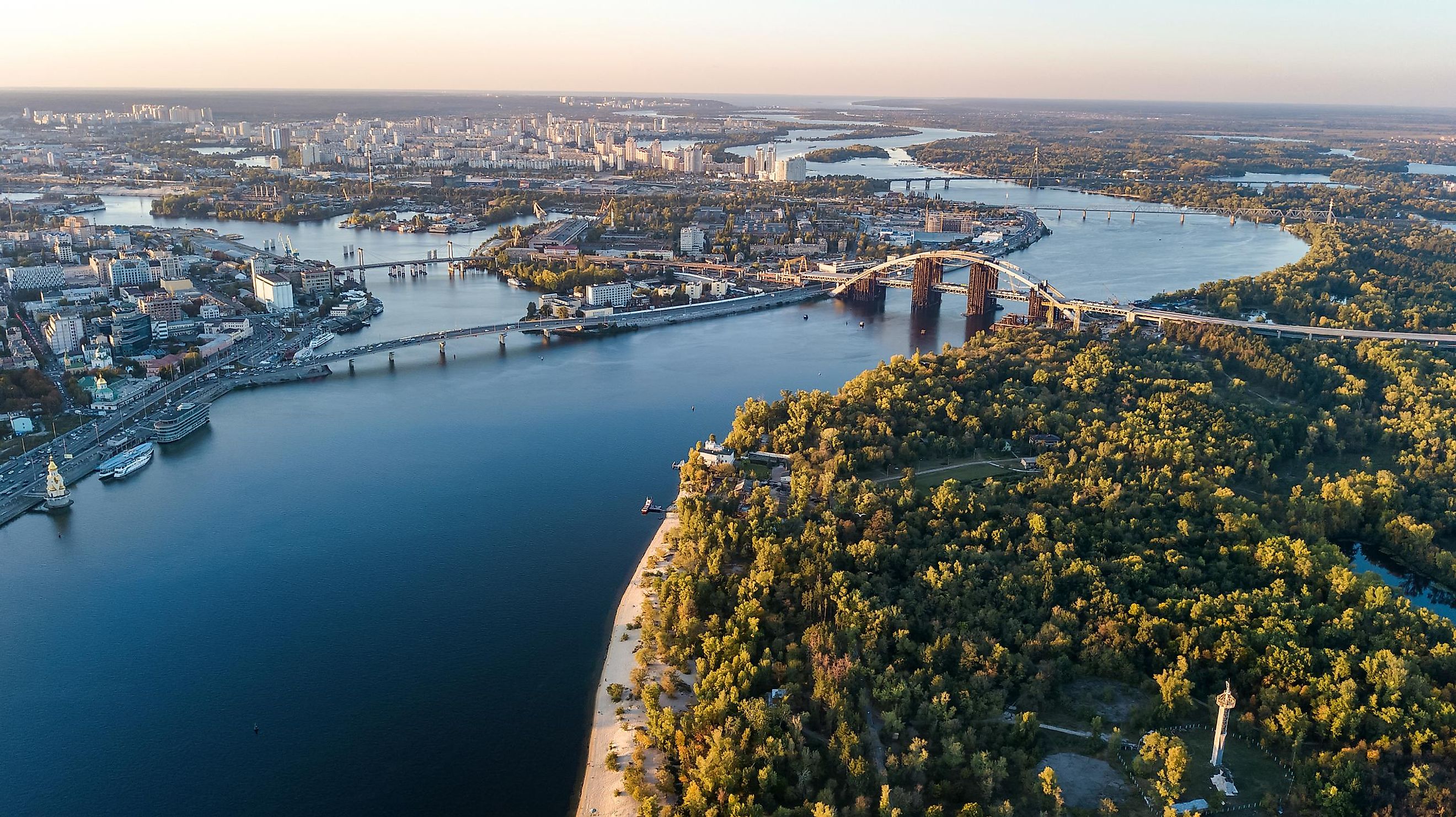
The chief port cities that have developed on the Dnipro River include Smolensk (Russia), Orsha (Belarus), Mahilyow (Belarus), Rechytsa (Belarus), Loyew (Belarus), and the Ukrainian cities of Kyiv, Cherkasy, Kremenchuk, Dnipropetrovsk, Zaporizhzhia, Nikopol, Kakhovka, and Kherson. Some of these latter sites have become focal points in the war between Ukraine and Russia. At the time of this article, there is an ongoing battle in the Kherson region, with the Dnipro acting as the main physical barrier.
Europe's fourth-longest river (behind the Volga, Danube, and Ural) snakes down through a small portion of Western Russia, Eastern Belarus, and the core of Ukraine. It is a source of power and nourishment for millions of people, a geopolitical marker, and the focus of conflict in the active war between Russia and Ukraine. Particularly for the Ukrainian people, this massive waterway is a point of national pride and identity, a valuable mode of trade and transportation, and an example of how natural resources are subject to problematic anthropogenic interventions.