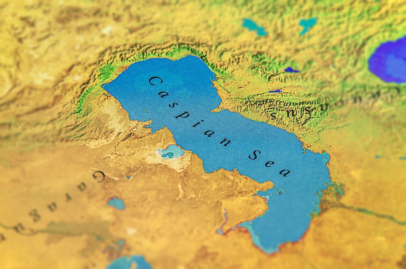
Tyrrhenian Sea
The Mediterranean Sea has 12 marginal seas, covering a total area of about 2.5 million square kilometers. The Tyrrhenian Sea is the Mediterranean Sea’s third-largest marginal sea, located along the western coast of mainland Italy. It covers an area of approximately 275,000 square kilometers and has four exits, including two to the Mediterranean Sea proper and one each to the Ionian Sea and the Ligurian Sea. The sea has played important economic and cultural roles throughout history, particularly facilitating trade between Africa, Asia, and Europe. Today, it is one of the most important trade routes in the Atlantic Ocean.
Origin Of The Name
The Tyrrhenian Sea derives its name from the Tyrrhenian people, a non-Greek people largely considered Sea People. The name “Tyrrhenian” was derived from a Greek name for “Etruscan” who may have emigrated from Lydia (Western Asia) led by Tyrrhenus, one of Etruscan League founders. The Etruscans, who settled in the present-day Tuscany’s coast, referred to the Tyrrhenian as the “Sea of Etruscan.”
Location

The Tyrrhenian Sea is located off Italy’s western coast, between the Italian Peninsula and Sardinia Islands (Italian Territory) and Corsica Islands (French territory). The sea borders several regions on the peninsula, including Lazio, Tuscany, Basilicata, Campania, and Calabria. It is bordered to the southeast by Italy’s “toe” area and Sicily, an Italian island, and northwest by the Ligurian Sea.
The Tyrrhenian Sea has four exits, including two into the Mediterranean Sea proper. One of the exits into the Mediterranean Sea is the Strait of Bonifacio which separates Sardinia and Corsica islands. The other exit, located between Sicily and Sardinia, is the largest of the four exits, with a width of 290 kilometers. The Corsica Chanel, between Corsica Islands and Tuscany Region, opens into the Ligurian Sea, while the 4th exit, known as Strait of Messina, opens into the Ionian Sea between the Italian Peninsula and Sicily.
Geography

The Tyrrhenian Sea covers an area of approximately 275,000 square kilometers, with a maximum depth of 3,785 meters and an average depth of 2,000 meters below the water surface. The sea drains only two countries; Italy and France. It straddles Eurasia and African tectonic plates and is divided into two basins-Marsili plain and the Vavilov plain- by the Issel Bridge. Given its location between the two tectonic plates, the sea’s depth contains numerous active volcanoes and mountain chains, including Mount Marsil.
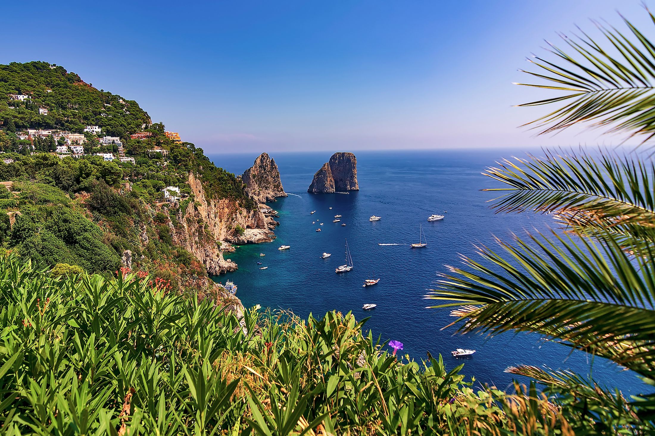
The Tyrrhenian Sea is dotted with islands, including some of the Mediterranean’s largest islands. Sicily is both the Tyrrhenian’s and Mediterranean’s largest island, spanning over 25,600 square kilometers. The sea’s second-largest island is Sardinia, at 24,100 square kilometers, followed by Corsica at 8,681 square kilometers. Other islands include Ustica, Capri, and Elba.
Ports

The Tyrrhenian Sea is an important trade route linking various Mediterranean regions. Thus, several ports and harbors are located along the coast, including Palermo, Naples, Trapani, Salerno, and Civitavecchia (known as Port of Rome but located over 60 kilometers away from Rome). Giglio island port, a small port area in the region, is popularly known as the area where Costa Concordia sank.