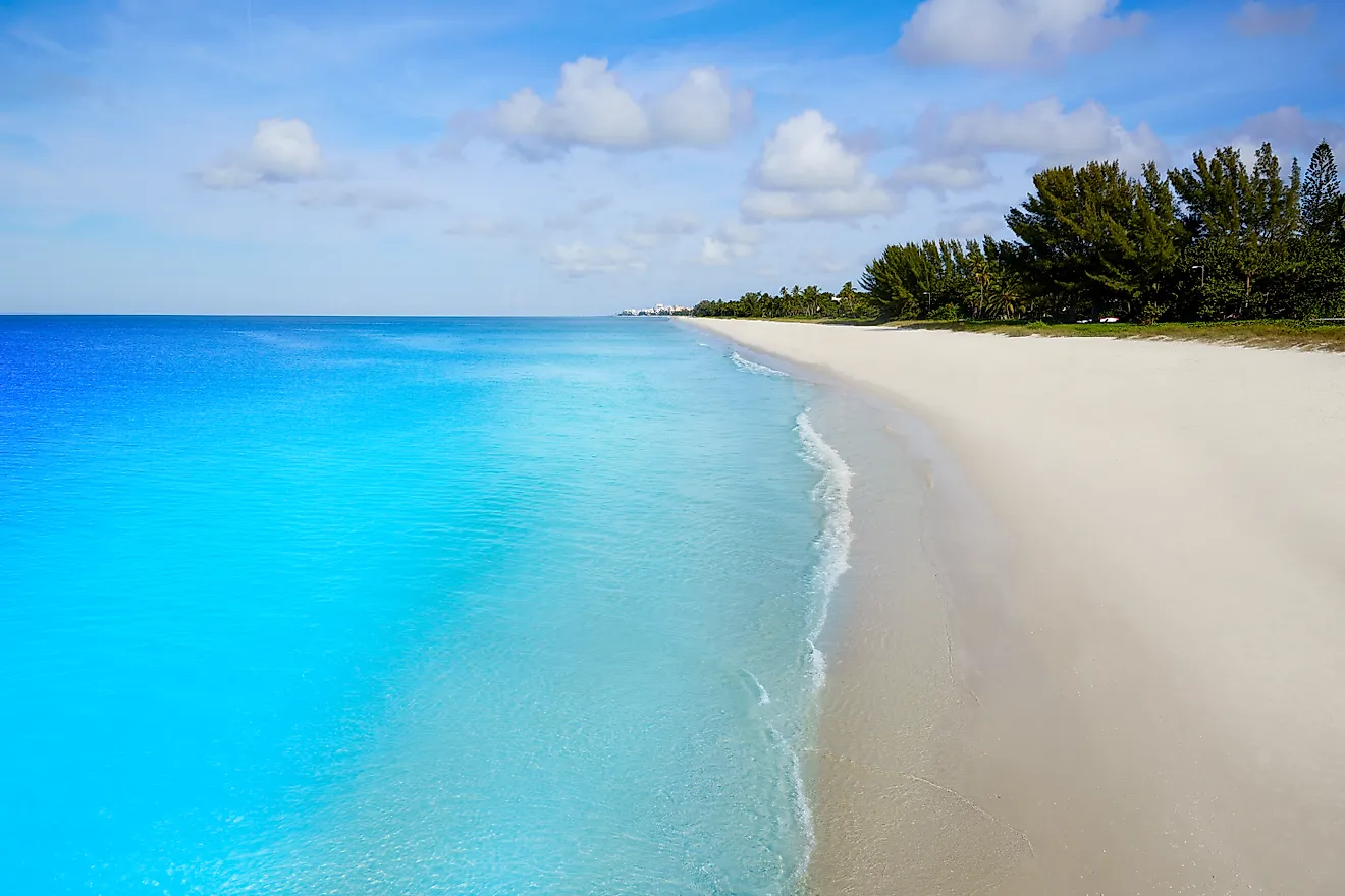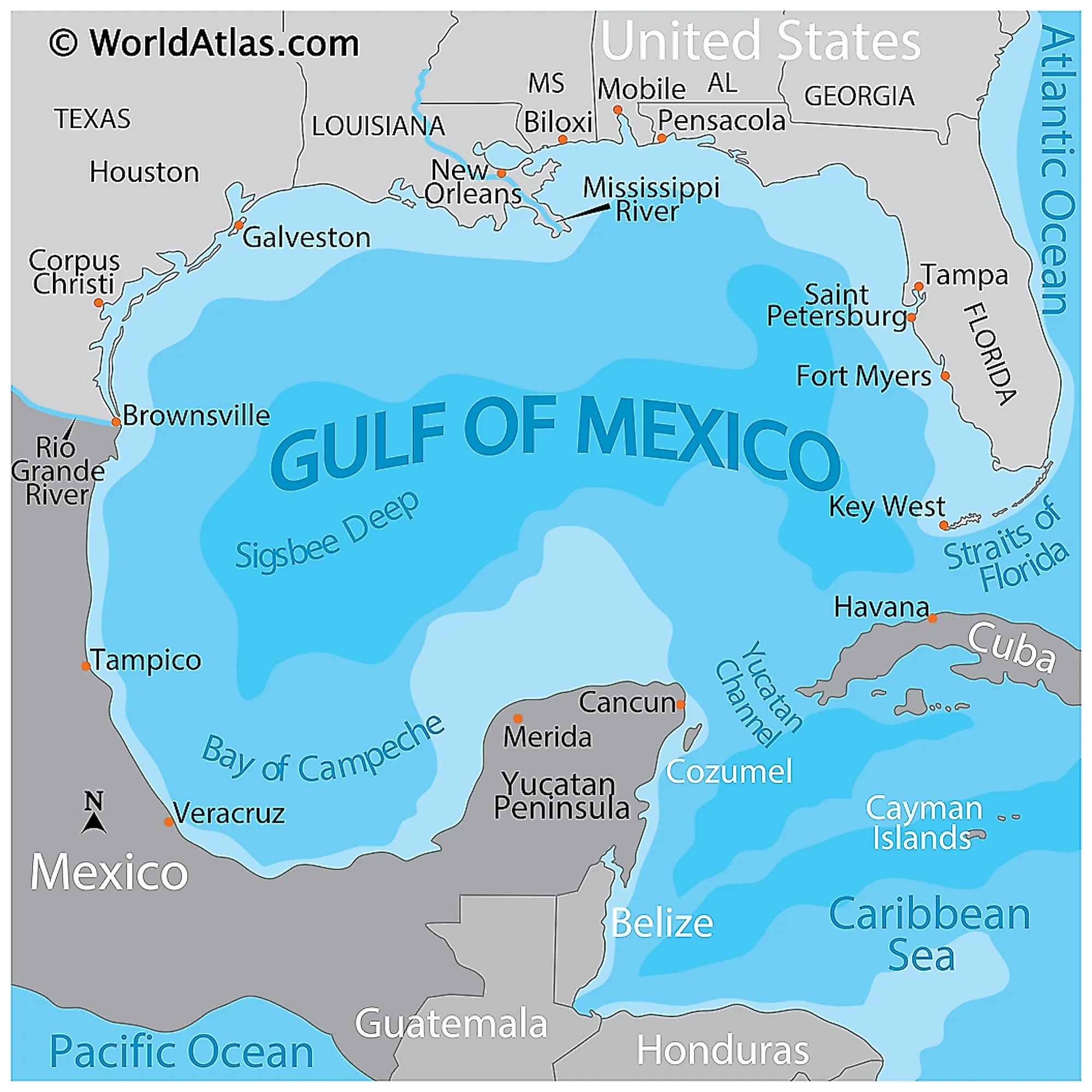
Gulf Of Mexico Basin
The Gulf of Mexico Basin is an underwater area, or basin, in the Gulf of Mexico. It sits northwest of the Campeche Bank and Yucatan Platform, the landmass of Cuba, and south of the five Gulf Coast states of the United States. Five Mexican states also border it on its western side. The basin is extremely deep, averaging more than 3,400 meters in depth, with a maximum of 5,203 meters in the Sigsbee Deep. The basin has a total area of approximately 1,507,639 km2 and a volume of around 2,434,000 km3.
Formation And History Of The Gulf of Mexico Basin

Before the Earth looked as it does today, with the various continents and moving tectonic plates, it is believed that the earth had one mega landmass, known as Pangea. Because there was only one landmass, there was similarly only one ocean mass on Earth at this time.
Some 200 million years ago, a fracture split the landmass in two, creating what is known as Laurasia (consisting of modern-day North America, Europe, and Asia) and Gondwana (South America, Africa, Antarctica, and Australia).
As other fractures split Pangea apart, North America and South America became more pronounced. This fracture expanded, and both stretched and thinned the Earth's crust. This then formed a large depression around the southern edge of North America, which was the beginnings of the Gulf of Mexico Basin.
The Filling Of The Gulf of Mexico Basin

As the Earth moved and shifted and the crust expanded, the Gulf of Mexico Basin became larger and deeper. Some 160 to 140 million years ago, the basin began to be filled with water. This saltwater came mainly from the Pacific Ocean, but the Atlantic Ocean also spilled into the basin from episodes of flooding over time.
However, the basin was only intermittently full for much of this time, and the floods would be followed by seasons of evaporation, which left large salt deposits within the basin. These deposits can still be found on the ocean floor, in some places as much as four kilometers thick. These deposits are known as the Sigsbee Knolls, which are the remaining salt domes formed millions of years ago. Sediments then eroded from the North American continent, which created other deposits layered on top of the previously existing salt mounds.
Landform Formations
120 to 100 million years ago, reef deposits slowly began to pile up on each other, forming a crust-like mass along the eastern edge of the gulf. This became a steep-edged mass of carbonate rock, which eventually became the Florida peninsula.
In particular, the northern edge of the basin continued to deepen in the last 60 million years, in part due to the continued sedimentary buildup on the ocean floor. This sediment can be as thick as 10,000 meters in some places.
Underwater Landscape Of The Gulf of Mexico Basin
Because the basin was formed slowly over so many millions of years, and the Earth's tectonic plates are ever moving, and sediments and deposits are constantly building up and being eroded, the floor of the basin has several notable geographical landmarks and formations.
Due to the way the Florida peninsula was born underwater, there is what is known as the West Florida Escarpment. This escarpment is a steep limestone cliff that runs from De Soto Canyon to the Florida Keys. It has a vertical relief of more than 2,500 meters in most places.
Deep canyons and ridges are also present on the basin floor. Named canyons include Perdido, Alaminos, Keathley, Bryant, Cortés, Farnella, and Green Canyons, which often create routes for sediment to flow deep into the basin's bottom. The canyons are usually exposed rock where deep-sea coral and sponge thrive.
The largest canyon in the basin is the Mississippi Canyon which was formed some 30,000 years ago by the Mississippi River at low sea level. This meant the river could continue to carve its path into the basin with its current and sedimentary flow.
Sigsbee Knolls can also be found in the deepest areas of the basin, known as the Sigsbee Deep, and are salt mounds and hills. Similarly, the northwestern portion of the Gulf is marked by rough, uneven seafloor. This is thought to be caused by the buildup and erosion of salt deposits and the pressure caused by sediment, which can cause the salt deposits to deform in interesting shapes and patterns, much like clay. The salt moves laterally and vertically in ridges and pillars called diapirs, creating a rugged underwater terrain where they meet seawater which causes them to erode slowly. This also results in streams and pools of extremely concentrated saltwater, which swirl around the diapirs. Other features caused by salt diapirs include asphalt seeps, mud volcanoes, and gas seeps, which contain unusual chemosynthetic ecosystems.
Importance Of The Gulf of Mexico Basin
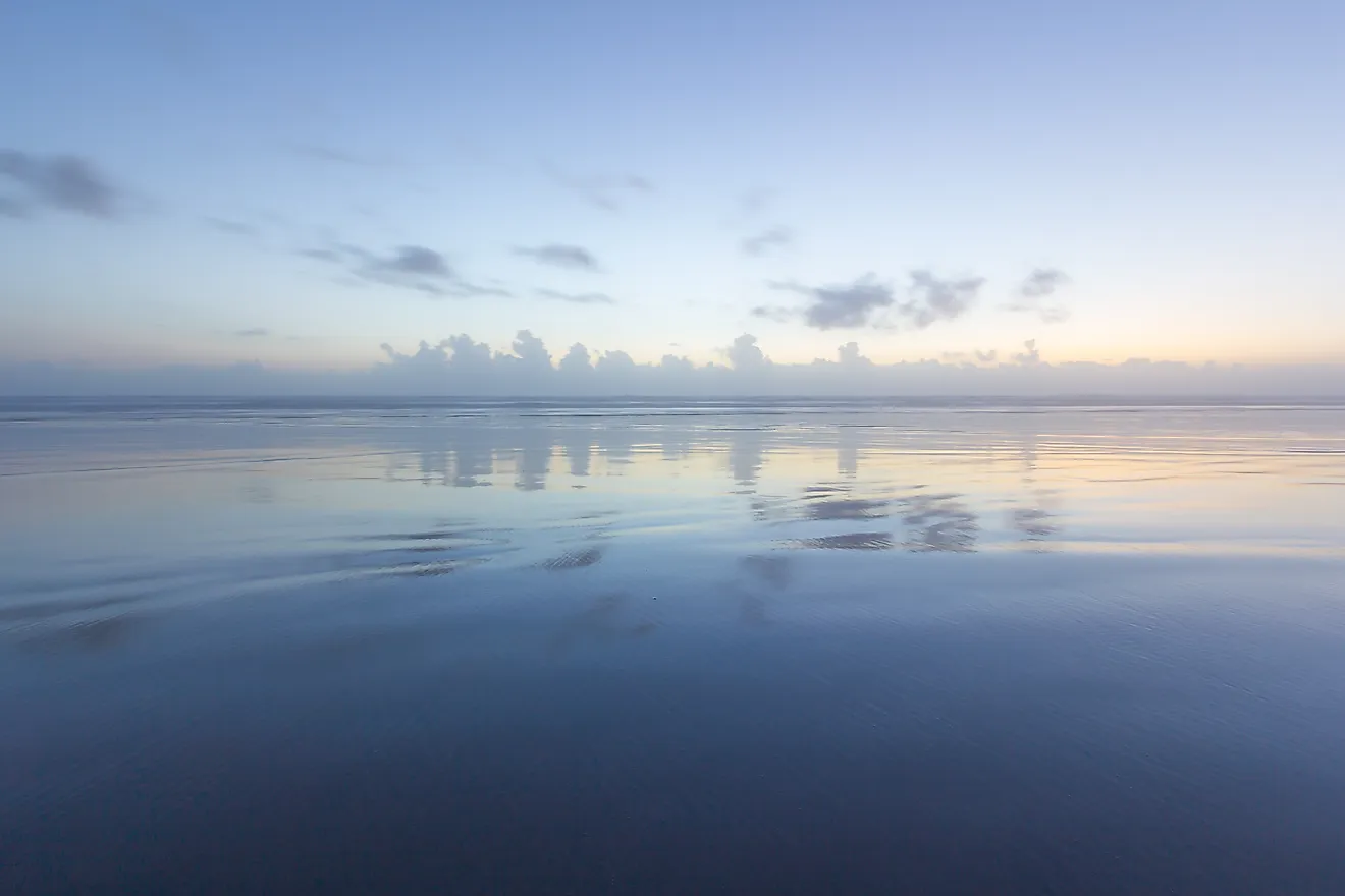
The basin lies deep below the Gulf of Mexico as we know and see it from the surface. This body of water is extremely important both regionally and globally for its warm waters, which feed the Gulf Stream, its biodiversity, and the presence of fossil fuels. Without the basin, the climate and ecosystems of our world would be drastically different.