Where is Charleston, WV?
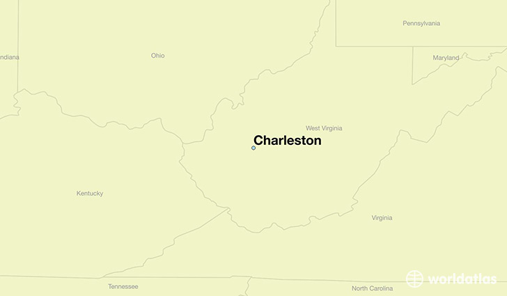
Charleston is a city found in West Virginia, The United States Of America. It is located 38.35 latitude and -81.63 longitude and it is situated at elevation 198 meters above sea level.
Charleston has a population of 51,400 making it the biggest city in West Virginia. It operates on the EDT time zone.
Quick facts
| Country | The United States Of America |
| State | West Virginia |
| Population | 51,400 |
| Elevation | 198 m over sea level |
| Time Zone | EDT |
| Longitude | -81.632620 |
| Latitude | 38.349820 |
Charleston has a population of around 50566, of which 24684 (48%) are male and 25882 (51%) are female. The average age of the inhabitants of Charleston is 40.59, meaning that the average person is above the national median age of 37. For every male, there are approximately 1.05 females, meaning that the population is relatively evenly distributed between males and female(s).
Of Charleston's 50566 residents, around 47465 (93.90%) identify as having a single race. The majority of the population is white, which consists of 81.80% of the population. Of the remaining population, 4708 are black/African Americans (9.30%), 41 are native Americans (0.10%), 1161 are asians (2.30%), 193 are other (0.40%).
The median income of households in Charleston is $48442.00, meaning that most of the households are above the poverty threshold for families of three. Of the total population, 10.30% of households reported an annual income of less than $10,000.
Charleston, WV Zipcodes
The city of Charleston has 10 zipcodes recognized by the United States Census Bureau: 25301, 25302, 25303, 25304, 25305, 25306, 25309, 25311, 25312, 25314.