Where is Columbia County, Washington?
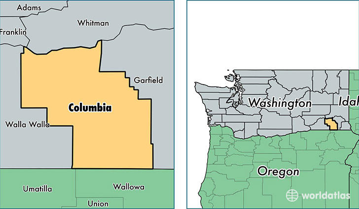
Columbia County is a county equivalent area found in Washington, USA. The county government of Columbia is found in the county seat of Dayton.
With a total 2,262.36 sq. km of land and water area, Columbia County, Washington is the 1034th largest county equivalent area in the United States. Home to 3,985 people, Columbia County has a total 2110 households earning 42519 on average per year.
Columbia County, Washington - Quick Facts
| FIPS Code | 53013 |
| Area Codes | 509 |
| Time Zone | PST |
| Major Cities | Dayton (population: 3,657), Starbuck (population: 155) |
| Land Area | 1,539 sq miles |
| Water Area | 869 sq miles |
| Household Income | $42,519 |
| Housing Units | 2,110 |
| Median Home Value | $147,900 |
| High School Grads | 86% of population |
| Holders of Bachelors Degrees | 17% of population |
| Retail Spending | $7,308 per capita |
| Food & Accomodation Sales | $2,686 per capita |
This page was last updated on June 30, 2016.