Where is Clallam County, Washington?
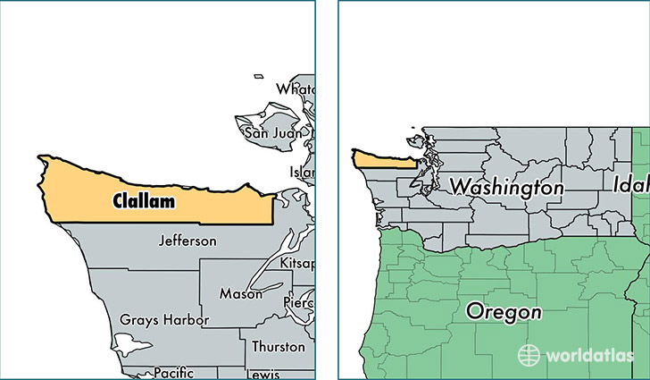
Clallam County is a county equivalent area found in Washington, USA. The county government of Clallam is found in the county seat of Port Angeles.
With a total 6,916.83 sq. km of land and water area, Clallam County, Washington is the 210th largest county equivalent area in the United States. Home to 72,715 people, Clallam County has a total 35602 households earning 46033 on average per year.
Clallam County, Washington - Quick Facts
| FIPS Code | 53009 |
| Area Codes | 360 |
| Time Zone | PST |
| Major Cities | Port Angeles (population: 35,800), Sequim (population: 27,025), Forks (population: 6,295), Neah Bay (population: 1,423), Clallam Bay (population: 1,421), La Push (population: 462), Sekiu (population: 373), Beaver (population: 360) |
| Land Area | 28,075 sq miles |
| Water Area | 1,739 sq miles |
| Household Income | $46,033 |
| Housing Units | 35,602 |
| Median Home Value | $222,200 |
| High School Grads | 91% of population |
| Holders of Bachelors Degrees | 24% of population |
| Retail Spending | $11,929 per capita |
| Food & Accomodation Sales | $105,726 per capita |
This page was last updated on June 30, 2016.