Where is Dale City, VA?
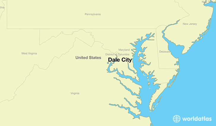
Dale City is a city found in Virginia, The United States Of America. It is located 38.64 latitude and -77.31 longitude and it is situated at elevation 71 meters above sea level.
Dale City has a population of 65,969 making it the 17th biggest city in Virginia. It operates on the EDT time zone, which means that it follows the same time zone as Virginia Beach.
Quick facts
| Country | The United States Of America |
| State | Virginia |
| Population | 65,969 |
| Elevation | 71 m over sea level |
| Time Zone | EDT |
| Longitude | -77.311090 |
| Latitude | 38.637060 |
Dale-city has a population of around 72130, of which 36490 (50%) are male and 35640 (49%) are female. The average age of the inhabitants of Dale-city is 33.30, meaning that the average person is below the national median age of 37. For every male, there are approximately 0.98 females, meaning that the population is relatively evenly distributed between males and female(s).
Of Dale-city's 72130 residents, around 67801 (94.00%) identify as having a single race. Of the population, 33533 are white (46.50%), 20626 are black/African Americans (28.60%), 331 are native Americans (0.50%), 6427 are asians (8.90%), 188 are pacific islanders (0.30%), 6696 are other (9.30%).
The median income of households in Dale-city is $85462.00, meaning that most of the households are above the poverty threshold for families of three. Of the total population, 2.50% of households reported an annual income of less than $10,000.
Dale City, VA Zipcodes
The city of Dale City has 4 zipcodes recognized by the United States Census Bureau: 20112, 22191, 22192, 22193.