Where is Arlington, VA?
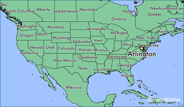
Arlington is a city found in Virginia, The United States Of America. It is located 38.88 latitude and -77.10 longitude and it is situated at elevation 83 meters above sea level.
Arlington has a population of 207,627 making it the 4th biggest city in Virginia. It operates on the EDT time zone, which means that it follows the same time zone as Virginia Beach.
Quick facts
| Country | The United States Of America |
| State | Virginia |
| Population | 207,627 |
| Elevation | 83 m over sea level |
| Time Zone | EDT |
| Longitude | -77.104280 |
| Latitude | 38.881010 |
Arlington has a population of around 223945, of which 112006 (50%) are male and 111939 (49%) are female. The average age of the inhabitants of Arlington is 36.04, meaning that the average person is below the national median age of 37. For every male, there are approximately 1 females, meaning that the population is relatively evenly distributed between males and female(s).
Of Arlington's 223945 residents, around 217169 (97.00%) identify as having a single race. The majority of the population is white, which consists of 72.10% of the population. Of the remaining population, 18936 are black/African Americans (8.50%), 1130 are native Americans (0.50%), 22196 are asians (9.90%), 212 are pacific islanders (0.10%), 13319 are other (5.90%).
The median income of households in Arlington is $105763.00, meaning that most of the households are above the poverty threshold for families of three. Of the total population, 3.70% of households reported an annual income of less than $10,000.
Arlington, VA Zipcodes
The city of Arlington has 12 zipcodes recognized by the United States Census Bureau: 22101, 22201, 22202, 22203, 22204, 22205, 22206, 22207, 22209, 22211, 22213, 22214.