Where is Alexandria, VA?
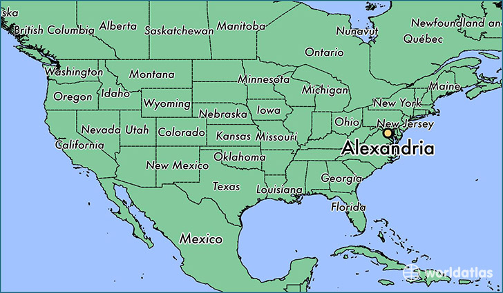
Alexandria is a city found in Virginia, The United States Of America. It is located 38.80 latitude and -77.05 longitude and it is situated at elevation 15 meters above sea level.
Alexandria has a population of 139,966 making it the 8th biggest city in Virginia. It operates on the EDT time zone, which means that it follows the same time zone as Virginia Beach.
Quick facts
| Country | The United States Of America |
| State | Virginia |
| Population | 139,966 |
| Elevation | 15 m over sea level |
| Time Zone | EDT |
| Longitude | -77.046920 |
| Latitude | 38.804840 |
Alexandria has a population of around 149315, of which 72057 (48%) are male and 77258 (51%) are female. The average age of the inhabitants of Alexandria is 36.87, meaning that the average person is below the national median age of 37. For every male, there are approximately 1.07 females, meaning that the population is relatively evenly distributed between males and female(s).
Of Alexandria's 149315 residents, around 142480 (95.40%) identify as having a single race. The majority of the population is white, which consists of 64.10% of the population. Of the remaining population, 31916 are black/African Americans (21.40%), 282 are native Americans (0.20%), 9835 are asians (6.60%), 26 are pacific islanders (0.00%), 4718 are other (3.20%).
The median income of households in Alexandria is $89134.00, meaning that most of the households are above the poverty threshold for families of three. Of the total population, 3.60% of households reported an annual income of less than $10,000.
Alexandria, VA Zipcodes
The city of Alexandria has 8 zipcodes recognized by the United States Census Bureau: 22206, 22301, 22302, 22304, 22305, 22311, 22312, 22314.