Where is Iron County, Utah?
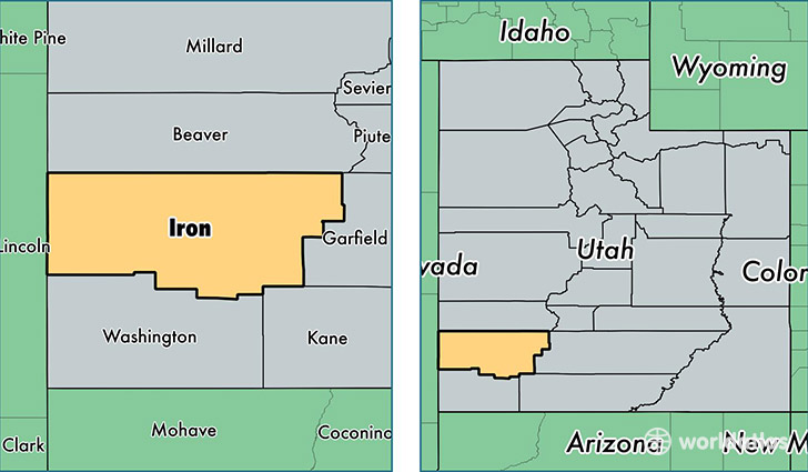
Iron County is a county equivalent area found in Utah, USA. The county government of Iron is found in the county seat of Parowan.
With a total 8,550.3 sq. km of land and water area, Iron County, Utah is the 164th largest county equivalent area in the United States. Home to 47,269 people, Iron County has a total 19843 households earning 42369 on average per year.
Iron County, Utah offers the following attraction to visitors: Cedar Breaks NM
Iron County, Utah - Quick Facts
| FIPS Code | 49021 |
| Area Codes | 435 |
| Time Zone | MST |
| Major Cities | Cedar City (population: 41,182), Parowan (population: 3,170), Beryl (population: 845), Paragonah (population: 566), Newcastle (population: 370), Kanarraville (population: 263), Summit (population: 173), Brian Head (population: 91), Modena (population: 26) |
| Land Area | 18,251 sq miles |
| Water Area | 3,297 sq miles |
| Household Income | $42,369 |
| Housing Units | 19,843 |
| Median Home Value | $168,300 |
| High School Grads | 91% of population |
| Holders of Bachelors Degrees | 26% of population |
| Retail Spending | $15,067 per capita |
| Food & Accomodation Sales | $59,642 per capita |
| Universities and Colleges | Southern Utah University |
This page was last updated on June 30, 2016.