Where is Emery County, Utah?
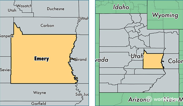
Emery County is a county equivalent area found in Utah, USA. The county government of Emery is found in the county seat of Castle Dale.
With a total 11,583.6 sq. km of land and water area, Emery County, Utah is the 110th largest county equivalent area in the United States. Home to 10,631 people, Emery County has a total 4481 households earning 52763 on average per year.
Emery County, Utah - Quick Facts
| FIPS Code | 49015 |
| Area Codes | 435 |
| Time Zone | MST |
| Major Cities | Huntington (population: 2,731), Ferron (population: 1,789), Castle Dale (population: 1,703), Orangeville (population: 1,499), Green River (population: 1,179), Elmo (population: 836), Cleveland (population: 699), Emery (population: 319), Clawson (population: 226) |
| Land Area | 4,105 sq miles |
| Water Area | 4,463 sq miles |
| Household Income | $52,763 |
| Housing Units | 4,481 |
| Median Home Value | $122,500 |
| High School Grads | 90% of population |
| Holders of Bachelors Degrees | 13% of population |
| Retail Spending | $12,435 per capita |
| Food & Accomodation Sales | $10,750 per capita |
This page was last updated on June 30, 2016.