Where is Arlington, TX?
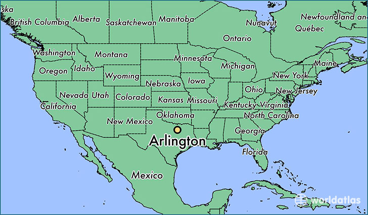
Arlington is a city found in Texas, The United States Of America. It is located 32.74 latitude and -97.11 longitude and it is situated at elevation 190 meters above sea level.
Arlington has a population of 365,438 making it the 6th biggest city in Texas. It operates on the CDT time zone, which means that it follows the same time zone as Houston.
Quick facts
| Country | The United States Of America |
| State | Texas |
| Population | 365,438 |
| Elevation | 190 m over sea level |
| Time Zone | CDT |
| Longitude | -97.108070 |
| Latitude | 32.735690 |
Arlington has a population of around 379716, of which 187051 (49%) are male and 192665 (50%) are female. The average age of the inhabitants of Arlington is 34.09, meaning that the average person is below the national median age of 37. For every male, there are approximately 1.03 females, meaning that the population is relatively evenly distributed between males and female(s).
Of Arlington's 379716 residents, around 369440 (97.30%) identify as having a single race. The majority of the population is white, which consists of 65.40% of the population. Of the remaining population, 76783 are black/African Americans (20.20%), 1655 are native Americans (0.40%), 27912 are asians (7.40%), 282 are pacific islanders (0.10%), 14485 are other (3.80%).
The median income of households in Arlington is $53326.00, meaning that most of the households are above the poverty threshold for families of three. Of the total population, 6.30% of households reported an annual income of less than $10,000.
Arlington, TX Zipcodes
The city of Arlington has 21 zipcodes recognized by the United States Census Bureau: 75050, 75051, 75052, 76001, 76002, 76006, 76010, 76011, 76012, 76013, 76014, 76015, 76016, 76017, 76018, 76040, 76060, 76063, 76112, 76119, 76120.