Willacy County, TX, USA
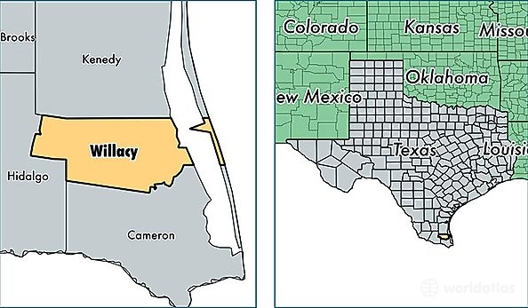
Willacy County is a county equivalent area found in Texas, USA. The county government of Willacy is found in the county seat of Raymondville.
With a total 2,031.24 sq. km of land and water area, Willacy County, Texas is the 1206th largest county equivalent area in the United States. Home to 21,903 people, Willacy County has a total 7052 households earning 25886 on average per year.
Willacy County, Texas - Quick Facts
| FIPS Code | 48489 |
| Area Codes | 956 |
| Time Zone | CST |
| Major Cities | Raymondville (population: 14,913), Lyford (population: 4,030), Sebastian (population: 1,983), Lasara (population: 776), San Perlita (population: 288), Port Mansfield (population: 225) |
| Land Area | 8,457 sq miles |
| Water Area | 591 sq miles |
| Household Income | $25,886 |
| Housing Units | 7,052 |
| Median Home Value | $48,800 |
| High School Grads | 62% of population |
| Holders of Bachelors Degrees | 9% of population |
| Retail Spending | $6,040 per capita |
| Food & Accomodation Sales | $13,211 per capita |