Where is Tyler County, Texas?
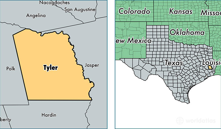
Tyler County is a county equivalent area found in Texas, USA. The county government of Tyler is found in the county seat of Woodville.
With a total 2,423.25 sq. km of land and water area, Tyler County, Texas is the 862nd largest county equivalent area in the United States. Home to 21,418 people, Tyler County has a total 10529 households earning 39940 on average per year.
Tyler County, Texas - Quick Facts
| FIPS Code | 48457 |
| Area Codes | 936,409 |
| Time Zone | CST |
| Major Cities | Woodville (population: 11,261), Warren (population: 2,643), Colmesneil (population: 2,571), Spurger (population: 1,416), Fred (population: 1,119), Chester (population: 878), Hillister (population: 843), Doucette (population: 113) |
| Land Area | 8,270 sq miles |
| Water Area | 924 sq miles |
| Household Income | $39,940 |
| Housing Units | 10,529 |
| Median Home Value | $75,100 |
| High School Grads | 83% of population |
| Holders of Bachelors Degrees | 12% of population |
| Retail Spending | $5,665 per capita |
| Food & Accomodation Sales | $9,783 per capita |
This page was last updated on June 30, 2016.